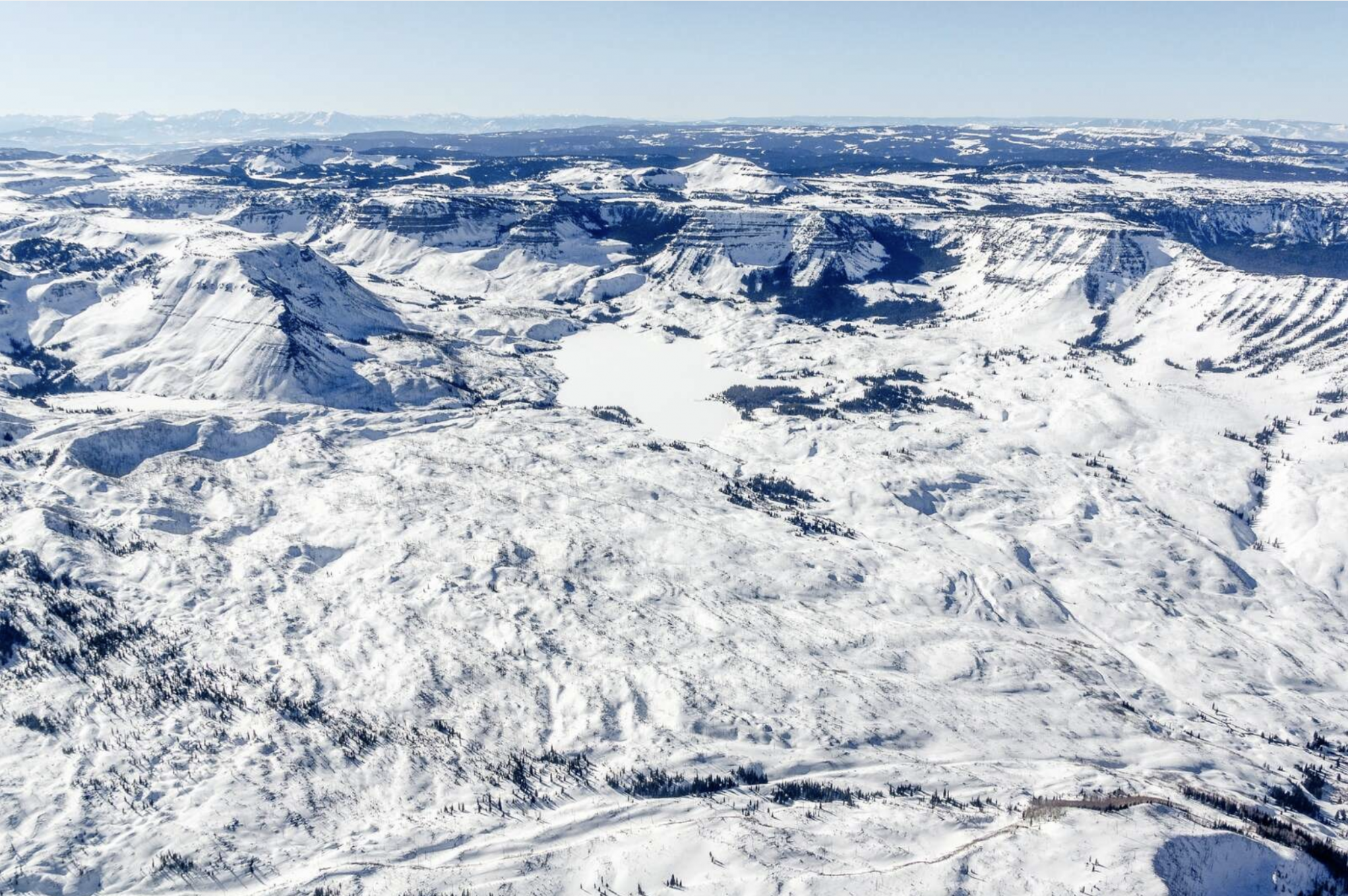
Even roads have broad plans for future use, and the management plan covering the Flat Tops Trail Scenic Byway is nearing 30 years old.
Having a corridor-management plan is required for a road to be considered a scenic byway, and if the plan is too outdated, that could result in a roadway losing its designation.
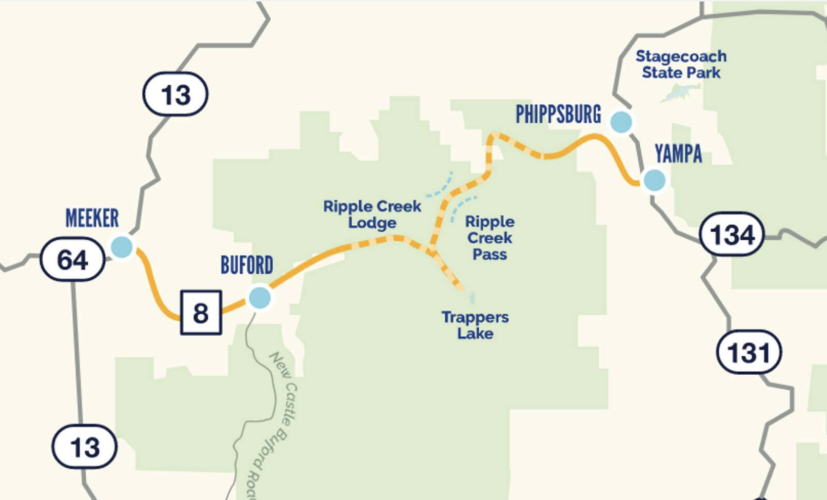
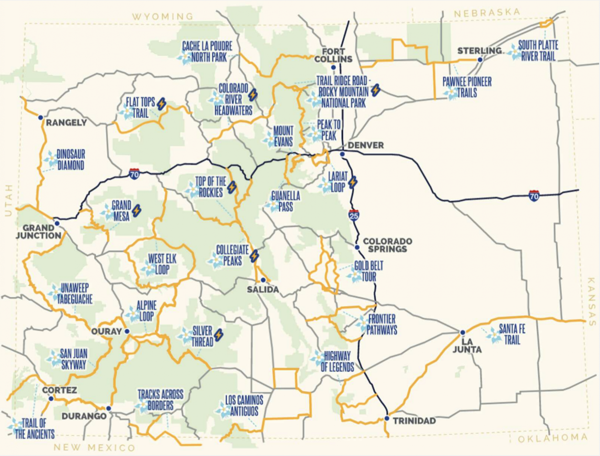
The scenic byway is one of 26 in Colorado, and it stretches 82 miles between Yampa and Meeker, as the route climbs over two the of the state’s least-traveled mountain passes. State officials estimate the road generated about $131 million in economic benefits between 2009 and 2014.
“You’re supposed to update (the plan) every 10 years, and we’re a little behind,” said Nancy Cramer, program director for the Northwest Colorado Cultural Heritage Program, referring to the Flat Tops plan created in 1994.

Updating the plan started before the pandemic, but that effort was put on hold due to limited funding, Cramer said. However, state officials encouraged Cramer to apply for the plan to be reworked as part of a capstone project by graduate students at the University of Colorado Boulder.
As a result, Cramer will work this summer with several students in CU’s Masters of the Environment program to update the Flat Tops plan, so the roadway can maintain its status. Another hope is that the plan will help identify sustainable tourism and recreation opportunities, while balancing them with conservation assets in the area.

Daniel Raggio, one of the graduate students working on the project, said they are in the first stage of the project, which entails detailing the scope of the work and meeting with locals who care about the byway.
Cramer and the CU students met with people in Yampa, the Steamboat Springs Chamber and Routt County Commissioners on Monday, April 4. They plan to meet with stakeholders on the west side of the byway next month.
Aviva North, one of the graduate students, said they will be working on the marketing and promotional aspects of the plan in May and June. North said part of this work will analyze social media posts from the byway to try to measure how popular it is.
“There’s not a lot of visitation data right now,” North said. “We’re trying to understand different patterns in tourism assets and how those are combining or at odds with the local visitation patterns.”
North said she sees the students’ role in the project as data collectors, compiling information into one neat plan that can last for at least another decade. The Colorado Department of Transportation also has a template that should help them draft the plan.
“We understand we are students in Boulder, and none of us have even driven the Flat Tops byway,” North said. “The knowledge and expertise is going to be from (county commissioners) and the people in Meeker and Yampa.”
Part of the final plan will be an interactive map that displays all the current interpretive assets along the byway and where there may be opportunities for more. Another map will include the various recreational, cultural and historical features along the route.
The plan will focus, at least in part, on destination management, which seeks to balance land use with protecting the landscape.
Routt County Commissioner Tim Corrigan, who lives near Yampa and boasts having been on pretty much every trail in the Flat Tops, said that planning is even more important now as the area sees more recreational use.
“I have a little bit of mixed feelings when we talk about promoting additional use of that part of the world,” Corrigan said. “While we may not have a lot of overuse up in that area yet, it’s coming.”