

The reroute of the Muddy Pass Gap on the Continental Divide Trail, also known as CDT, is a “legacy project” that has been underway with multiple agencies in a working group formed in 2019, explained Dan Carter, trail and lands conservation manager at the nonprofit Continental Divide Trail Coalition.
“The working group’s common goal is to keep the landscape protected and not developed,” Carter said.
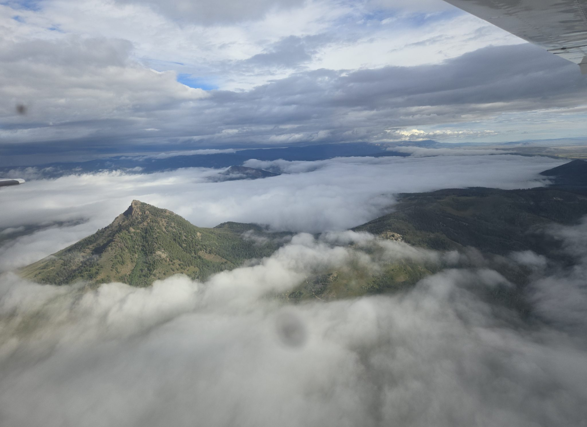
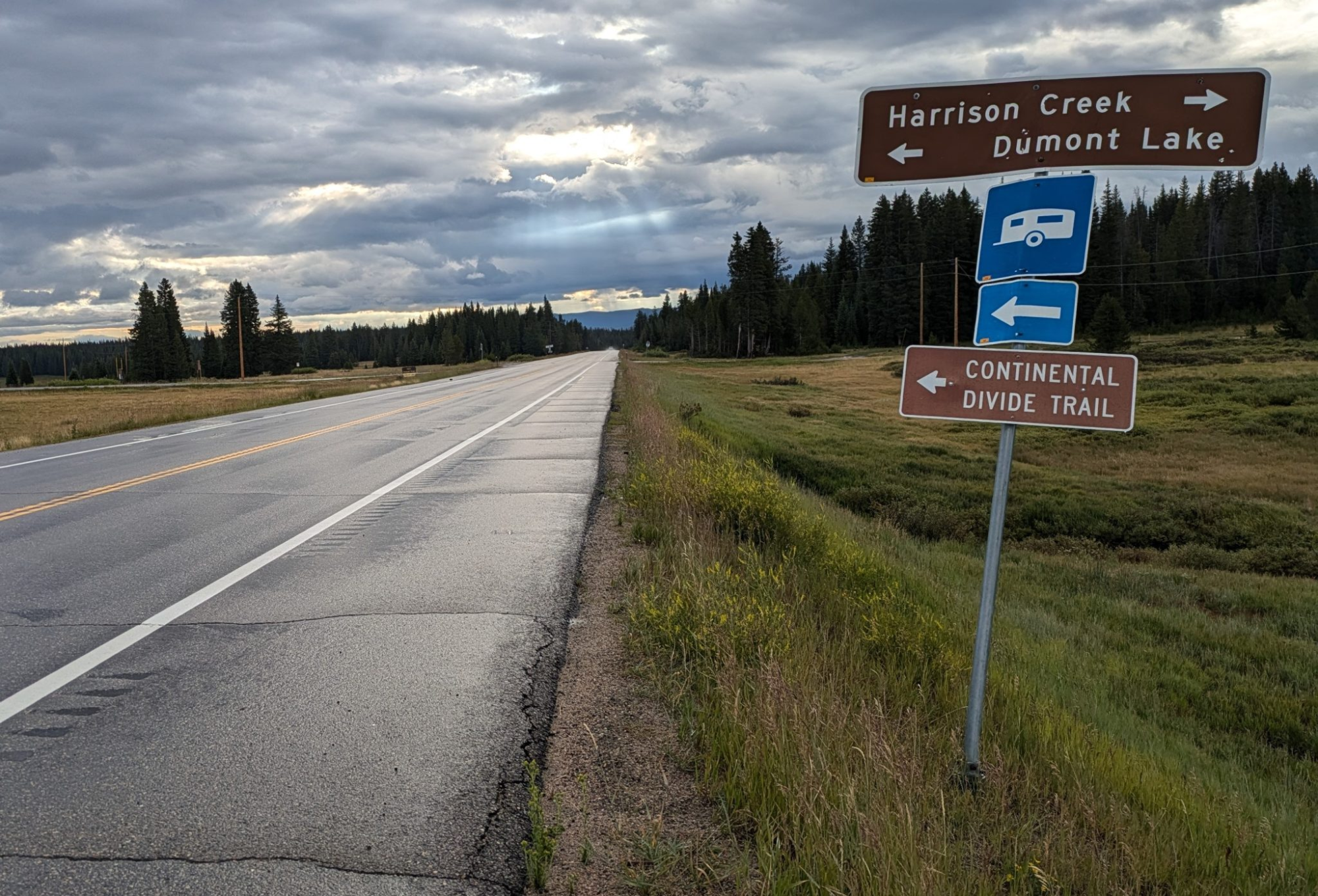
The gap includes 29 miles in Routt and Jackson counties that follow roads instead of hiking trails. The route travels alongside U.S. Highway 40 for 2 miles east of Dumont Lake, then 9 miles northeast on Colorado Highway 14 until it turns onto Jackson County Road 53.
Although two optimal revised routes for the gap section have been identified, the current challenges for rerouting the trail off of roads include sensitive wildlife habitat, private land and grazing management concerns, and no willing sellers of easements or private parcels, Carter said.
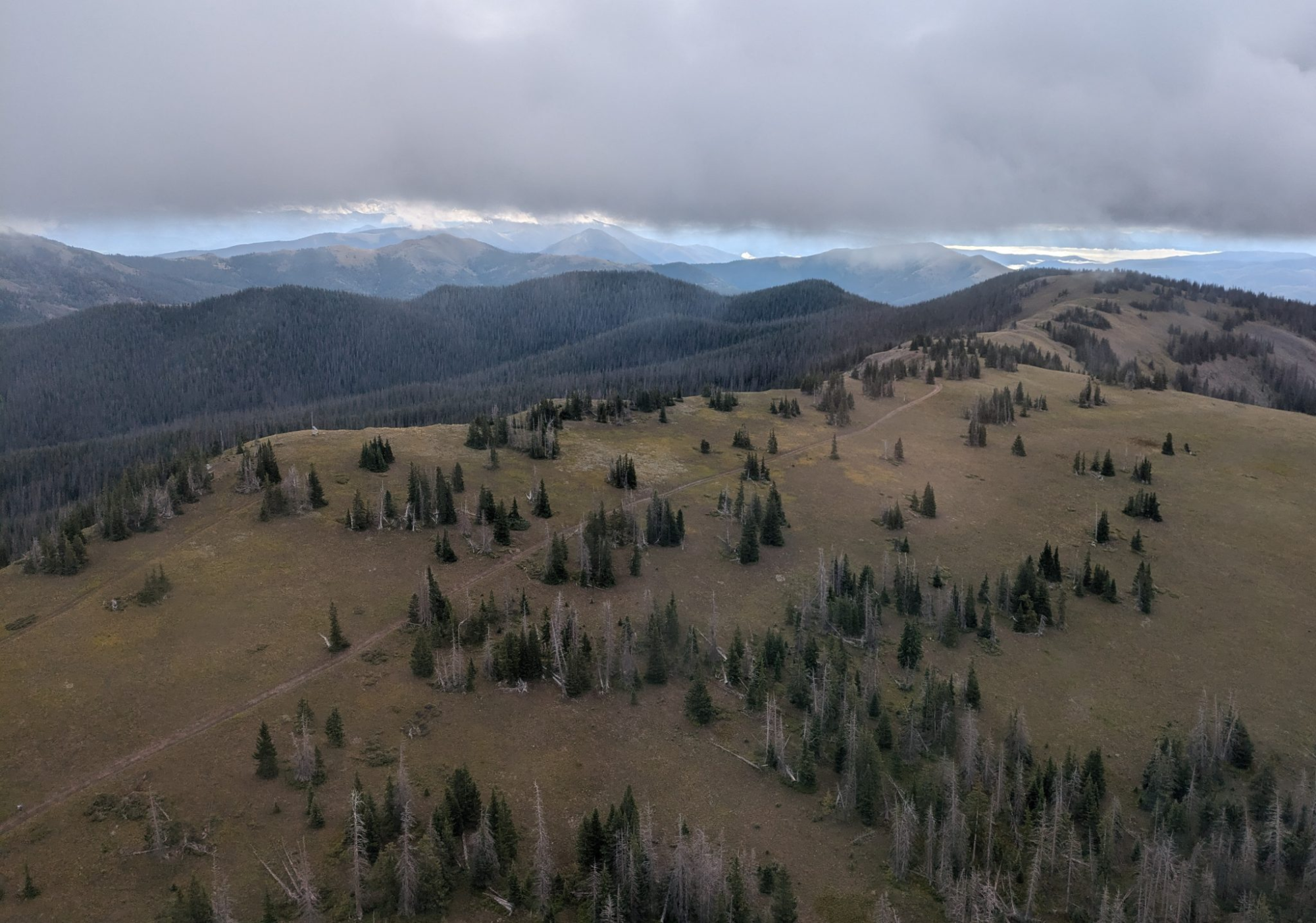
Closing the gap would require designation of existing routes such as powerline rights of way and range roads, or 15 to 19 miles of new trail construction, Carter explained. Existing trails such as Arapaho Ridge and Windy Ridge could be utilized for 3 to 8 miles.
Carter said the coalition is looking to secure easements for some existing ranch roads for the trail to follow to decrease impact to wildlife. The Continental Divide Trail pathway passes through a mix of state and federal lands and private lands with trail easements. The national trail is utilized by a multitude of day-use recreationalists and an estimated 1,000 thru-hikers annually, Carter said.
Currently in the region, the coalition is working to add CDT wayfinding signage along the Muddy Pass Gap and CDT informational kiosks at Dumont Lake and the intersection of Highway 14 and County Road 53.
The coalition continues to stress trail-user outreach and education. Within the past year, the nonprofit has created a new trail hang-tag available to people who register. The hang-tag can be picked up by thruhikers via agencies and shuttles at the southern or northern trailheads, the Bureau of Land Management office in Rawlins, Wyoming, and the Grand Lake Center.
The coalition added an online interactive map planning tool on its information-rich website. The group posted webinars recorded earlier this year on its YouTube page to help hikers plan.
The coalition encourages hikers who will spend one or more nights along the trail to register via the “thruhiking” page on its website. So far this year, some 650 people have registered officially, according to Danny Knoll, coalition trail information manager. Increased registration allows the nonprofit to better track trail-use volume and to send emergency text or email messages in cases such as wildfire or fire restrictions.
The Golden-based coalition continues to stress Leave No Trace educational principles for hikers to close gates unless otherwise marked, avoid unintentional trespassing, minimize campfire impacts, avoid leaving behind any litter and dig deep catholes for proper human waste disposal.
Although Steamboat Springs is located miles west of the CDT via hiking the Fish Creek Falls Trail, the city is one of seven official trail gateway cities in Colorado. Other gateway communities are Grand Lake, Lake City, Leadville and Twin Lakes, Pagosa Springs, Salida and South Fork. The closest gateway cities to Steamboat that are actually located on the trail include Grand Lake to the east and Rawlins to the north.
Steamboat Springs Chamber Marketing Director Lara Soard, one of the passengers on the EcoFlight tours, said some local businesses donate items such as snacks and two-for-one passes for a “backpack bundle” that CDT thruhikers can pick up at the chamber. Some trail-goers hitch a ride from the Dumont Lake area to come into Steamboat for a shower or supplies.
People who complete the entire trail can register online at CDTcoalition.org. That annual registration dates back to 1972 with one name listed. In 2023, 168 people submitted their completion information.
Trail names for some of those 3,000-Milers include Danger Dave, Missing Person, Bug Finder, Mountain Goat, Warrior and Speed Racer.