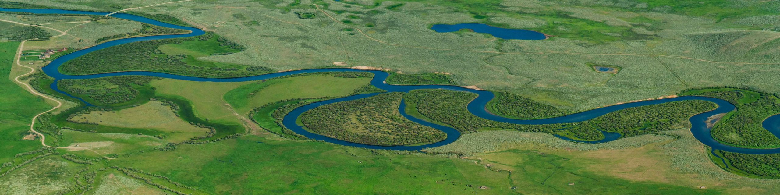
Path of the Pronghorn – Migration Corridor
Date: 06/25/2025
State: WY
Issues: Watersheds, Wild Lands, Wildlife
Partners: Wyoming Game & Fish Department, Wyoming Wildlife Federation
Airport Origin : Pinedale, WY
Mission
Trace the Path of the Pronghorn - one of North America’s most extraordinary and threatened migration corridors with county officials, Wyoming land managers, including the Game & Fish Department and Natural Resources Conservation Service, and conservation groups.
EcoFlight has been flying the path of the pronghorn for two decades informing land managers for two decades, especially focusing on the natural gas explosion that has taken over much of the pronghorn’s landscape during this time period. On this flight, we followed the Green River north toward its headwaters, then soared into the Gros Ventre Range, viewing the burn scar, and continuing to follow the 200-mile journey these remarkable animals take each year. The pronghorn’s path is shaped not just by instinct, but by terrain - they seek open space, avoiding steep drainages, dense trees, and tight canyons. They rely on unobstructed land to spot danger and navigate safely. On this flight, we focused on the corridor’s most vulnerable choke points - places where their route narrows due to natural features or human development.
Seeing the migration corridor from the air revealed how challenging this journey has become. Pronghorn must now thread their way through a gauntlet of obstacles including fences, roads, subdivisions, and private lands. These bottlenecks, where the land quite literally closes in on them, are the areas where their migration and their survival is most at risk. With the aerial perspective to view these pressure points, we can help inform smarter land use decisions and ensure safe passage for generations of pronghorn to come.
Click for photos, aerial GoPro video, and geo-referenced photos (download and open in Google Earth)