Middle Colorado Watershed
Date: 12/31/2025
State: CO
Issue: Watersheds
Partner: Middle Colorado Watershed Council
Airport Origin : Rifle, CO
Mission
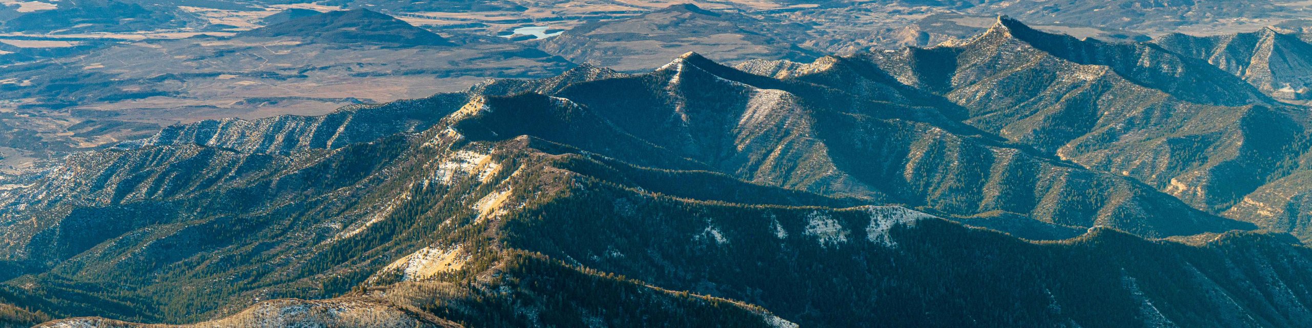
Thank you for joining us on an overflight of the Middle Colorado Watershed. From Rifle and the Grand Hogback to Glenwood Canyon, Grizzly Creek, the Flat Tops, and the Colorado River itself, we hope that seeing this landscape from the air deepened your understanding of the interconnectedness and vitality of this watershed.
Middle Colorado Watershed Council, with sponsorship from Alpine Bank, has commissioned a hand-illustrated legacy map of the Middle Colorado Watershed by Colorado artist Sarah Uhl. This map will highlight the river, tributaries, communities, and iconic features you flew over, serving as both an educational tool and a way to support long-term watershed stewardship.
Photos from the flight.