Date: 10/04/2023
State: ID
Issues: Climate, Fire, Wild Lands
Partner: Idaho Conservation League
Airport Origin : Boise, ID
Mission
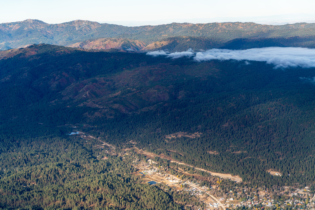
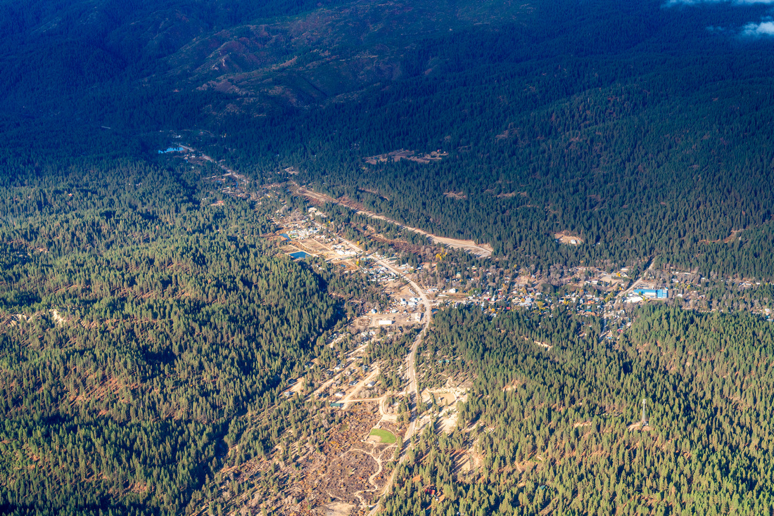
Inform Idaho City and Boise County officials who are working to protect ecosystem health and rural communities from catastrophic wildfire in this high-risk region. And, fly with members of the media and conservationists to view the CuMo Exploration Project, which is currently in a Forest Service public comment period, and poses large threats to the Boise River watershed.
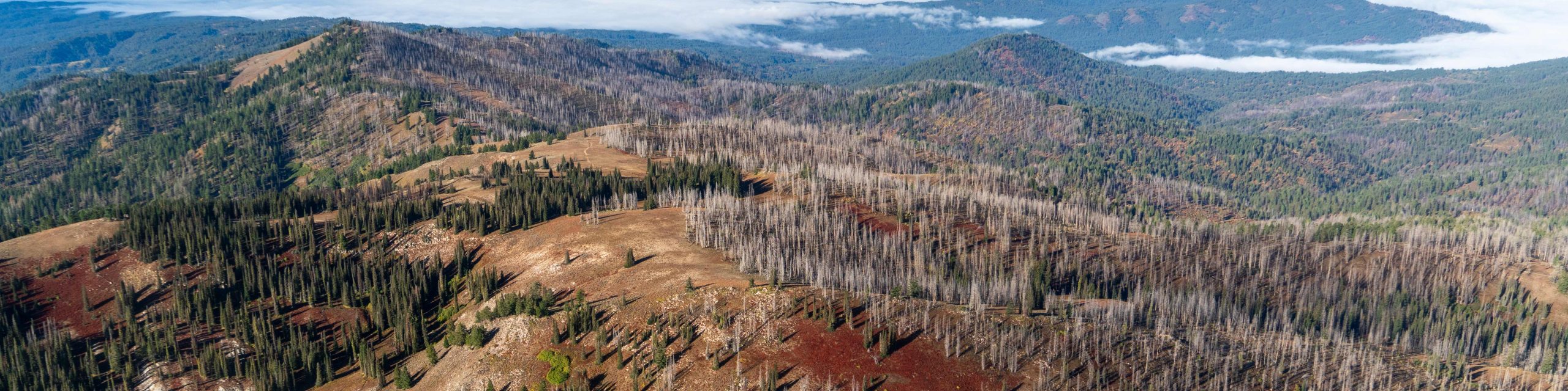
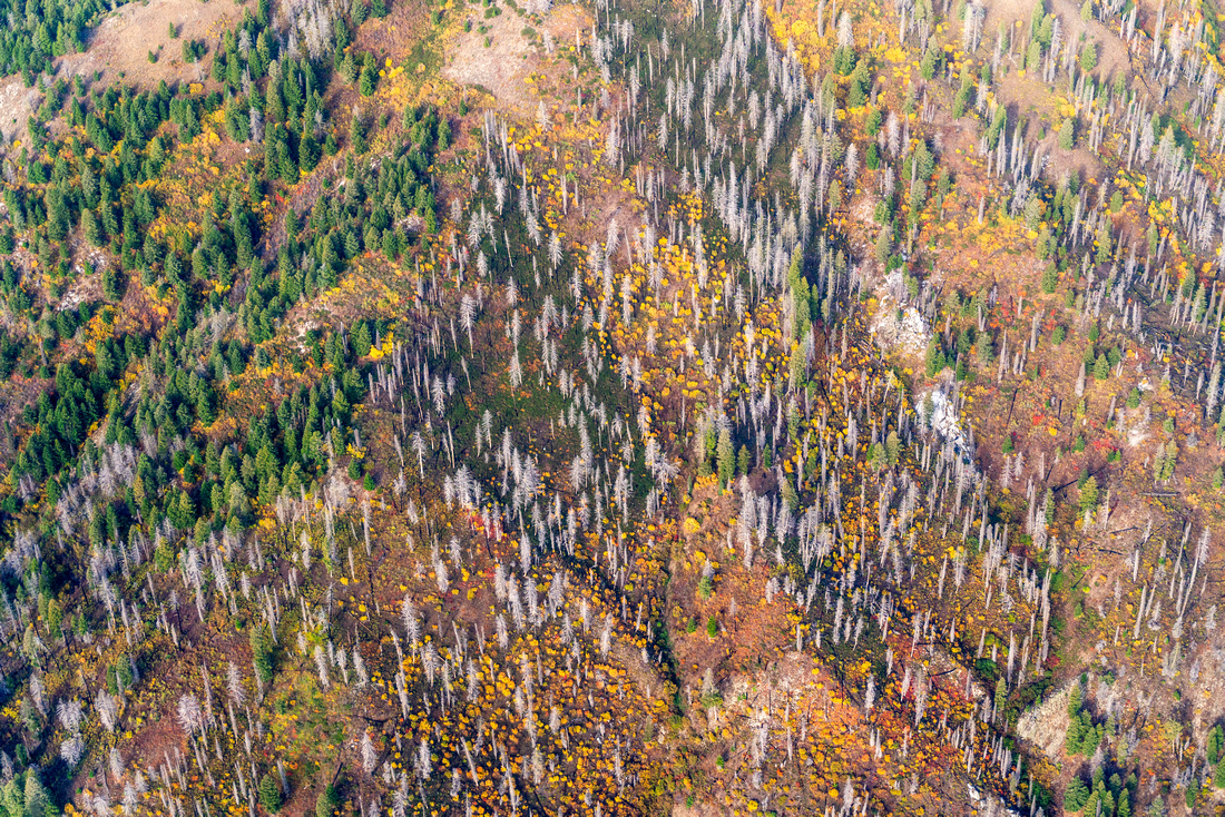
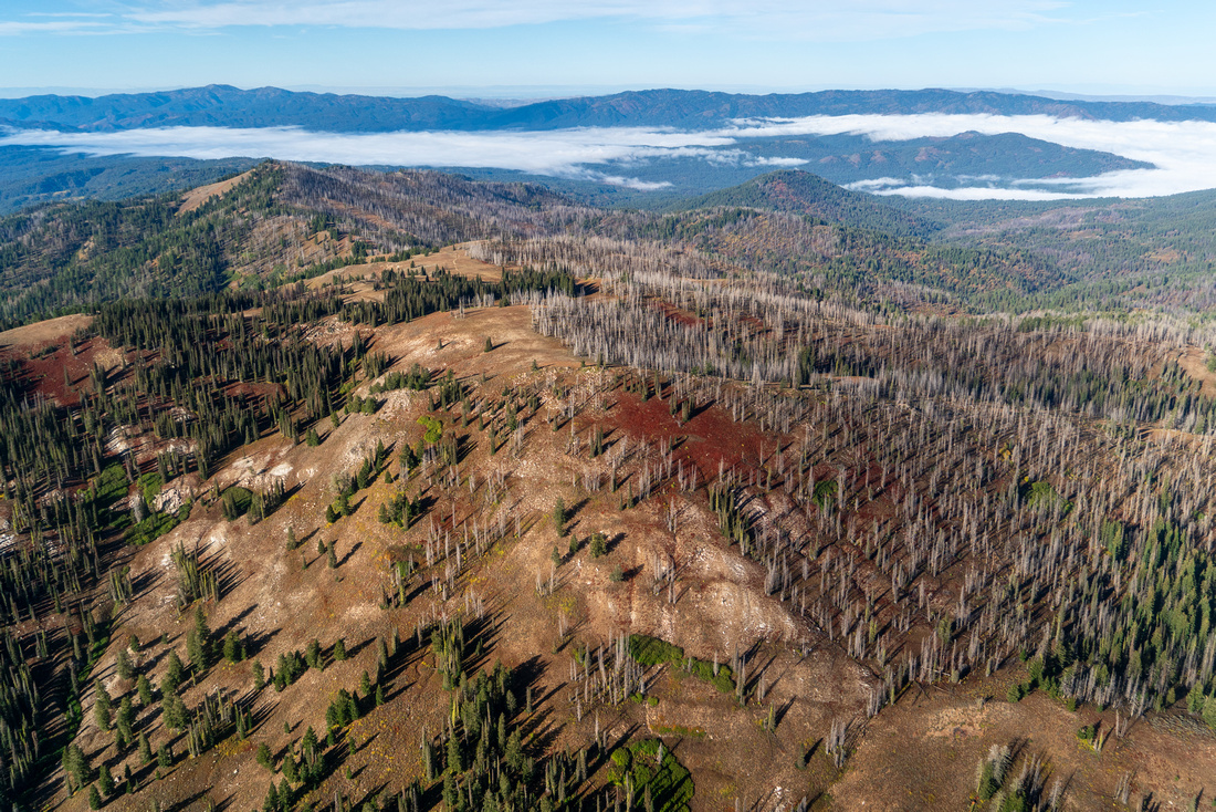
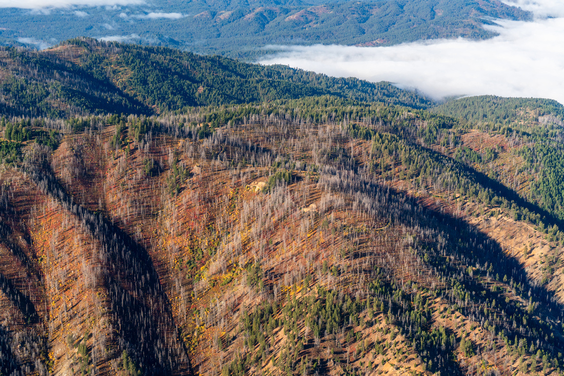
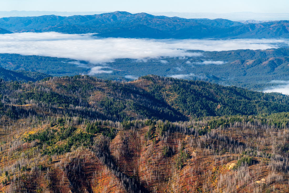
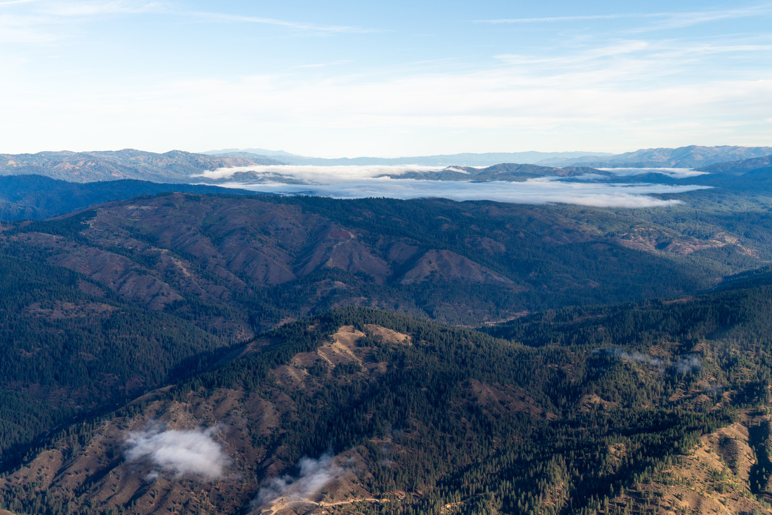
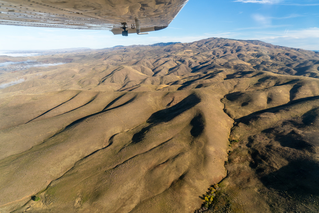
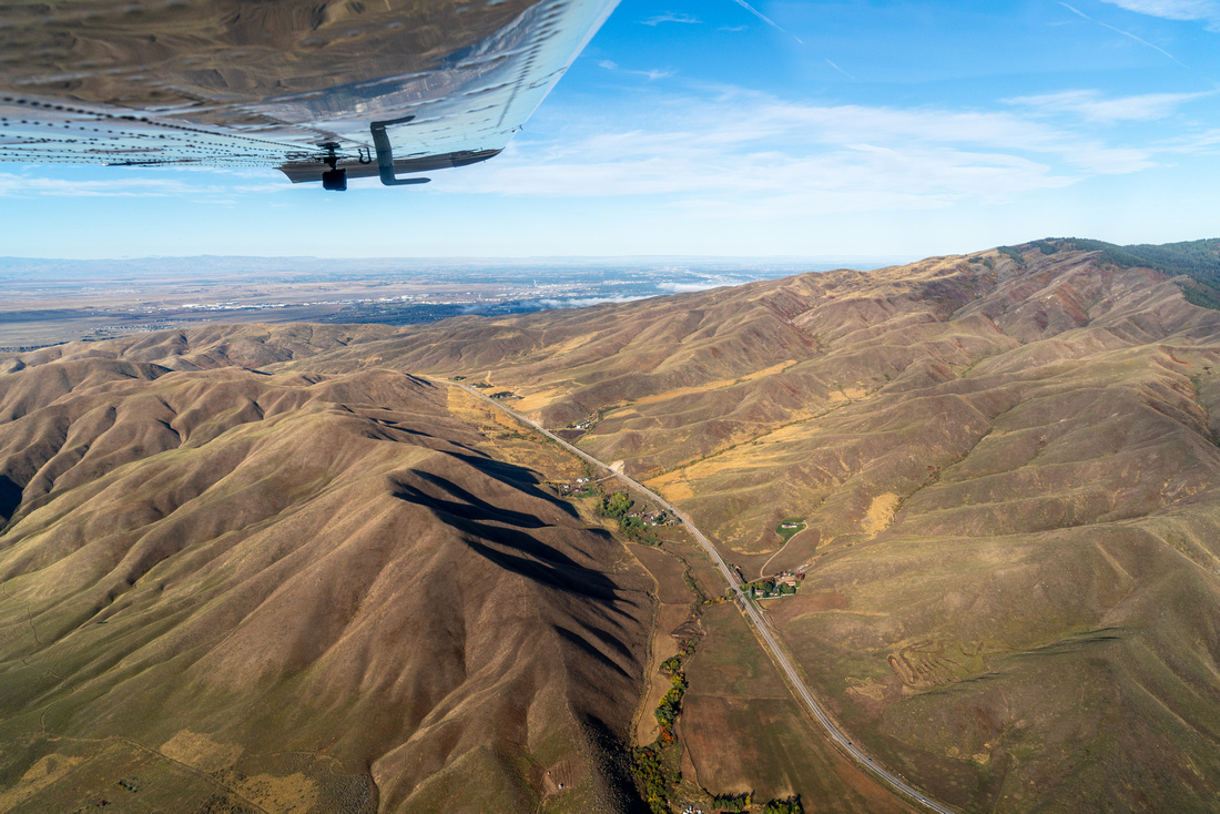
With increasingly warm temperatures and less rainfall, fires pose intense risk to communities, ecosystems, and wildlife. Based on a study of high-risk firesheds, the Forest Service selected the area between Boise, Idaho City, and McCall as the number one priority landscape in Idaho and number eleven in the nation. The Forest Service has allocated $17 million for fuel reduction efforts in these high priority Southwest Idaho areas. The Idaho Conservation League, Idaho Forest Restoration Partnership, Boise Forest Coalition, and other groups are bringing stakeholders together to increase the pace and scale of effective forest restoration.
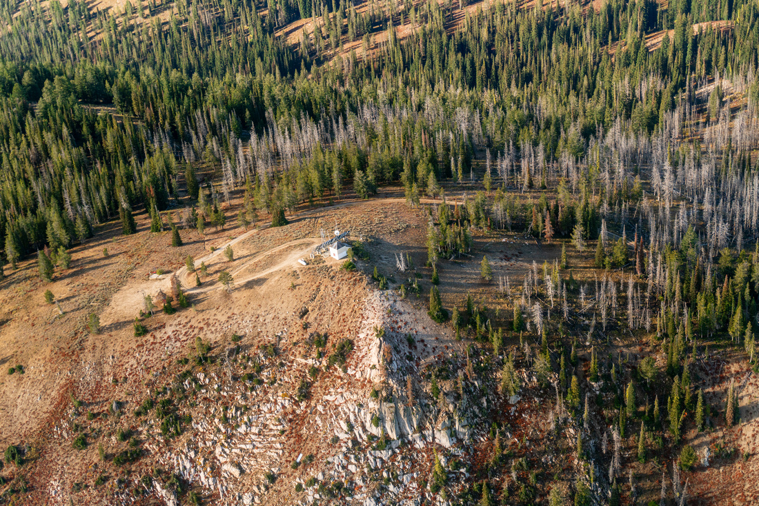
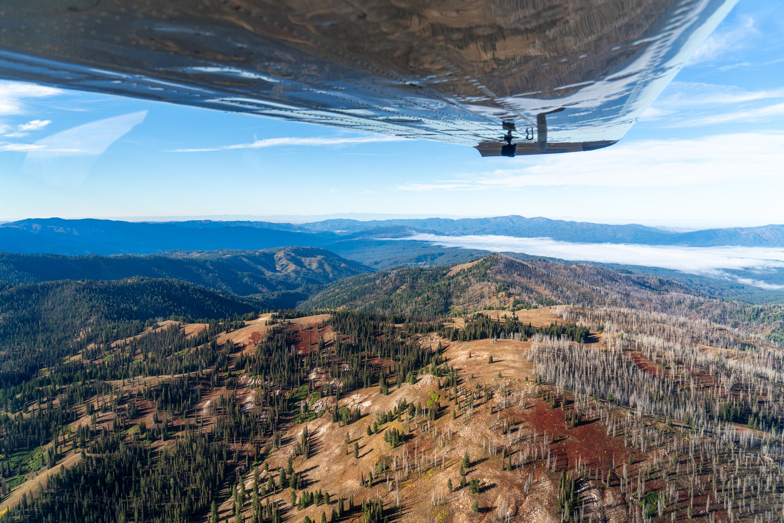
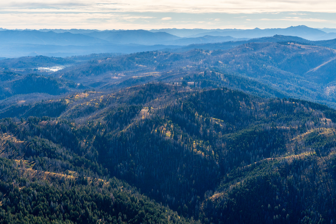
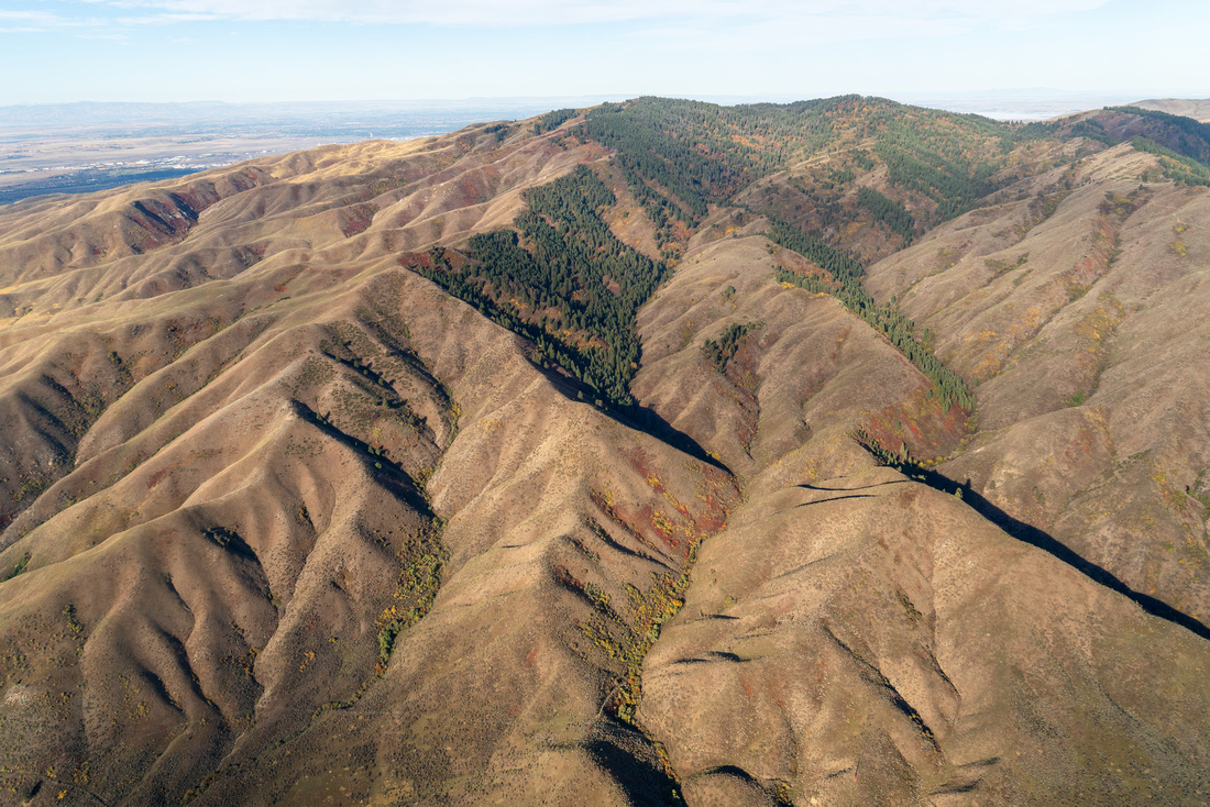
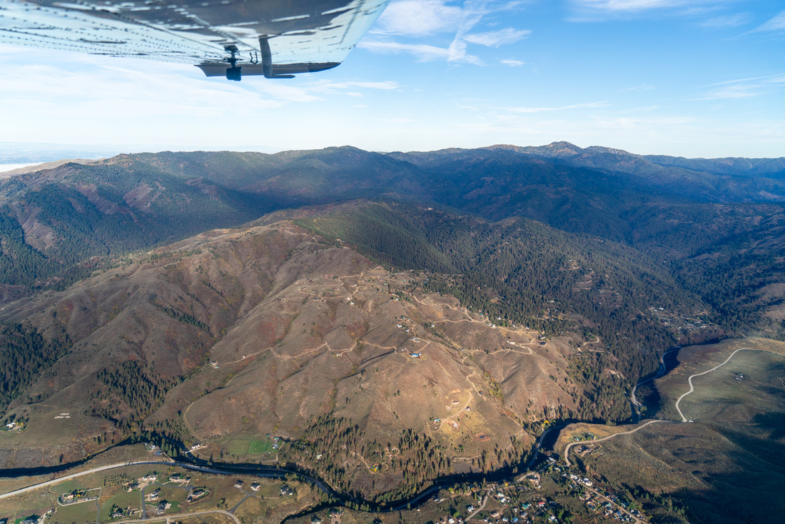
Our overflight examined the Upper Mores Priority Landscape, which is proposed for ecosystem restoration aimed to mitigate wildfire risk. We flew fuel reduction projects near Idaho City at Bogus Basin, Sinker Creek-Boise Ridge, and Clear Creek. These forest restoration projects, through thinning, prescribed fire, and other tactics, will reduce exposure of people, communities, and natural resources to the risk of catastrophic wildfire.
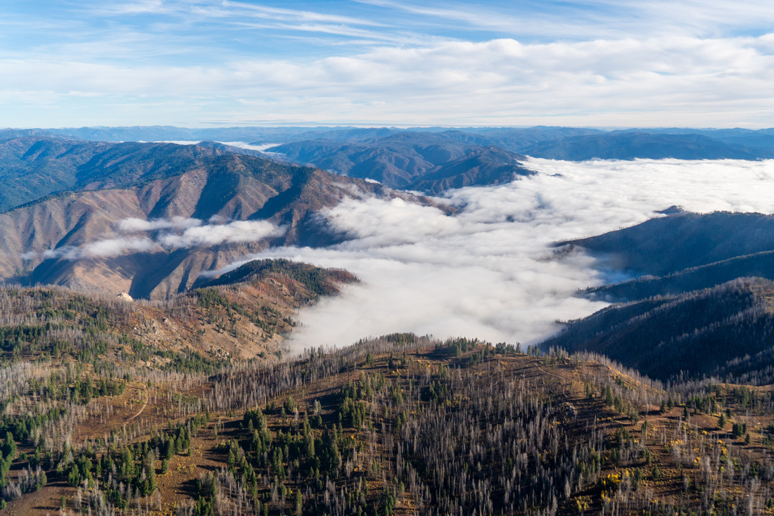
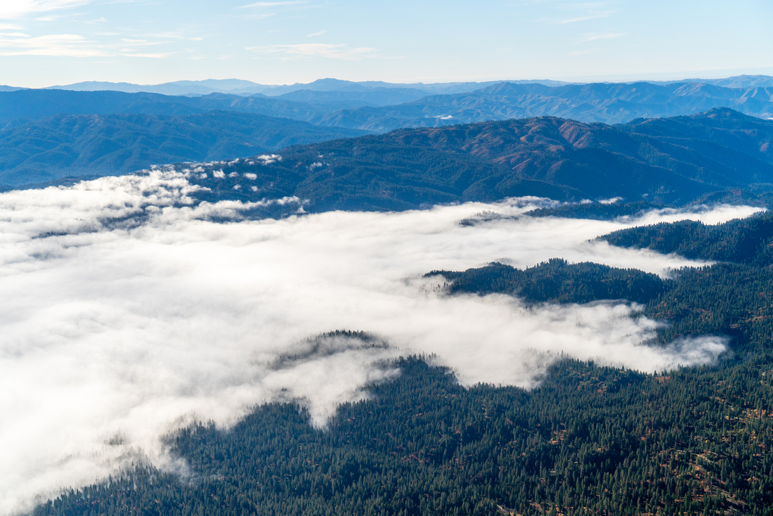
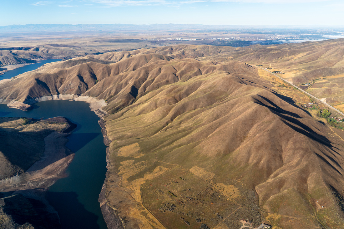
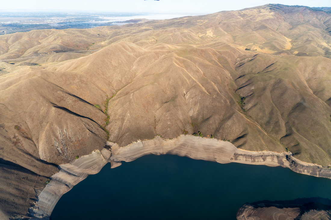
Our flight also examined the proposed CuMo mineral exploration project. This exploration project is proposed in the headwaters of the Boise River watershed, posing huge threats to critical fish habitat and to the river that supplies more than 25% of Boise's drinking water and helps irrigate over 300,000 acres of cropland. The Canadian mining company, Idaho Copper, hopes to develop the site into one of the largest open pit molybdenum and copper mines in the world. The project would construct up to 8.9 miles of new roads and drill 259 exploration holes. The Forest Service recently initiated a new environmental analysis for the project and is accepting public comments.