Dolores River
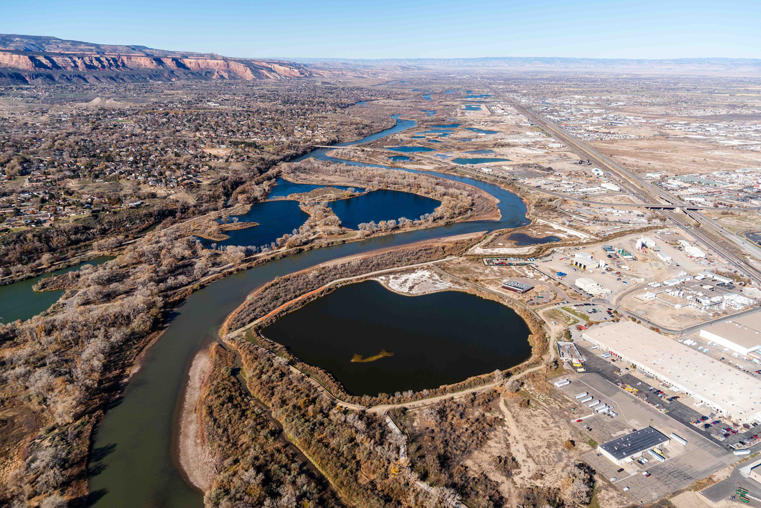
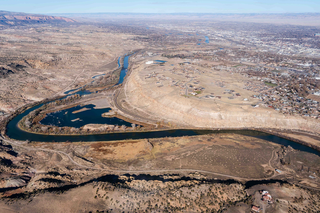
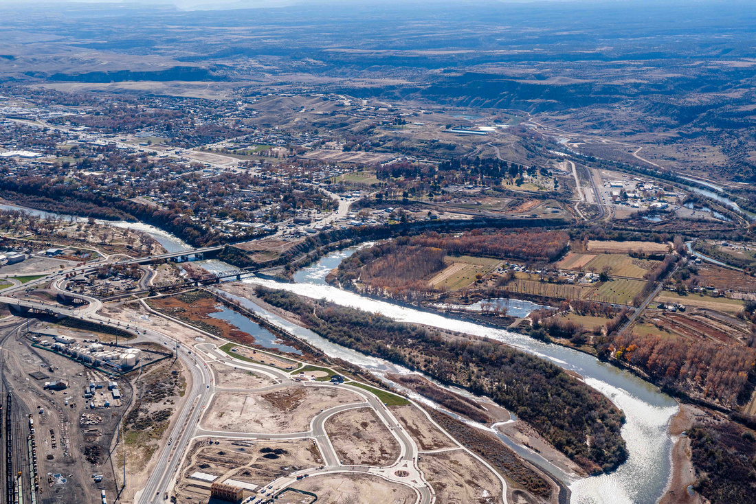
Date: 11/16/2022 State: CO Issue: Watersheds Partners: Colorado West Land Trust, Colorado Wildlands Project, Outdoor Recreation Coalition, United Way of Mesa County Airport Origin : Grand Junction, CO
Mission
Fly conservation organizations to progress the campaign to protect Colorado's Lower Dolores River as a National Conservation Area.
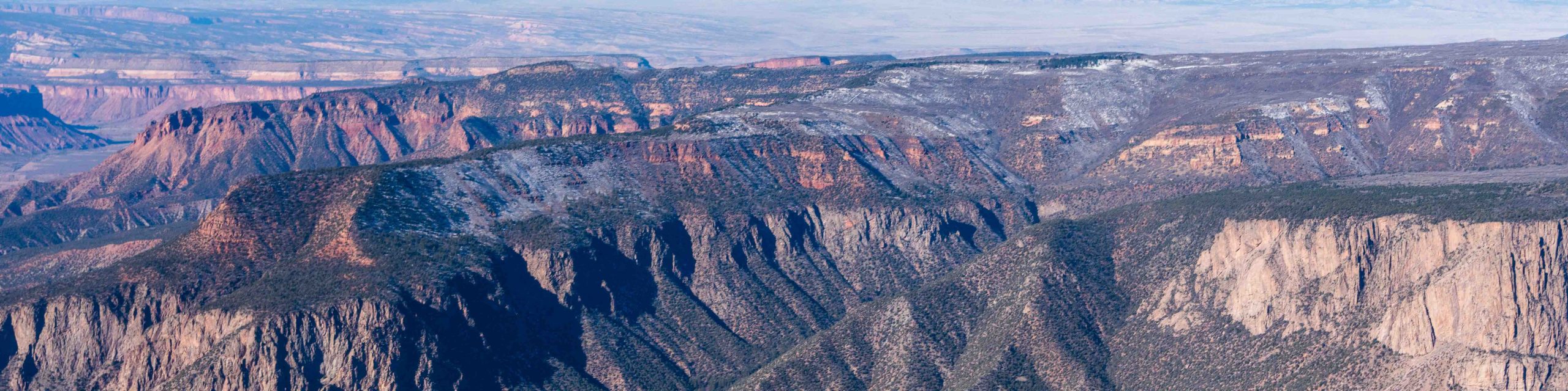
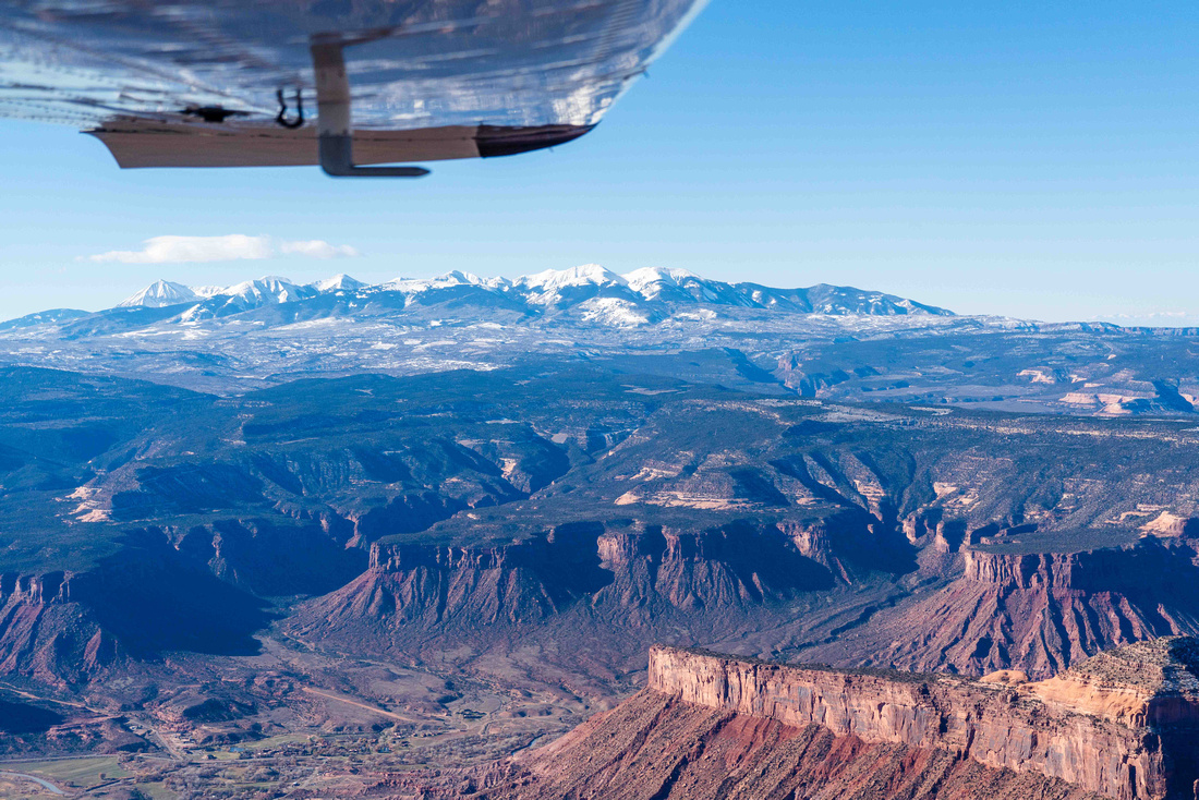
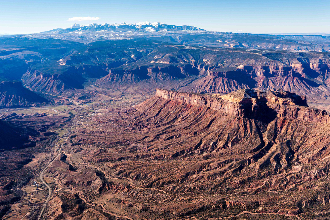
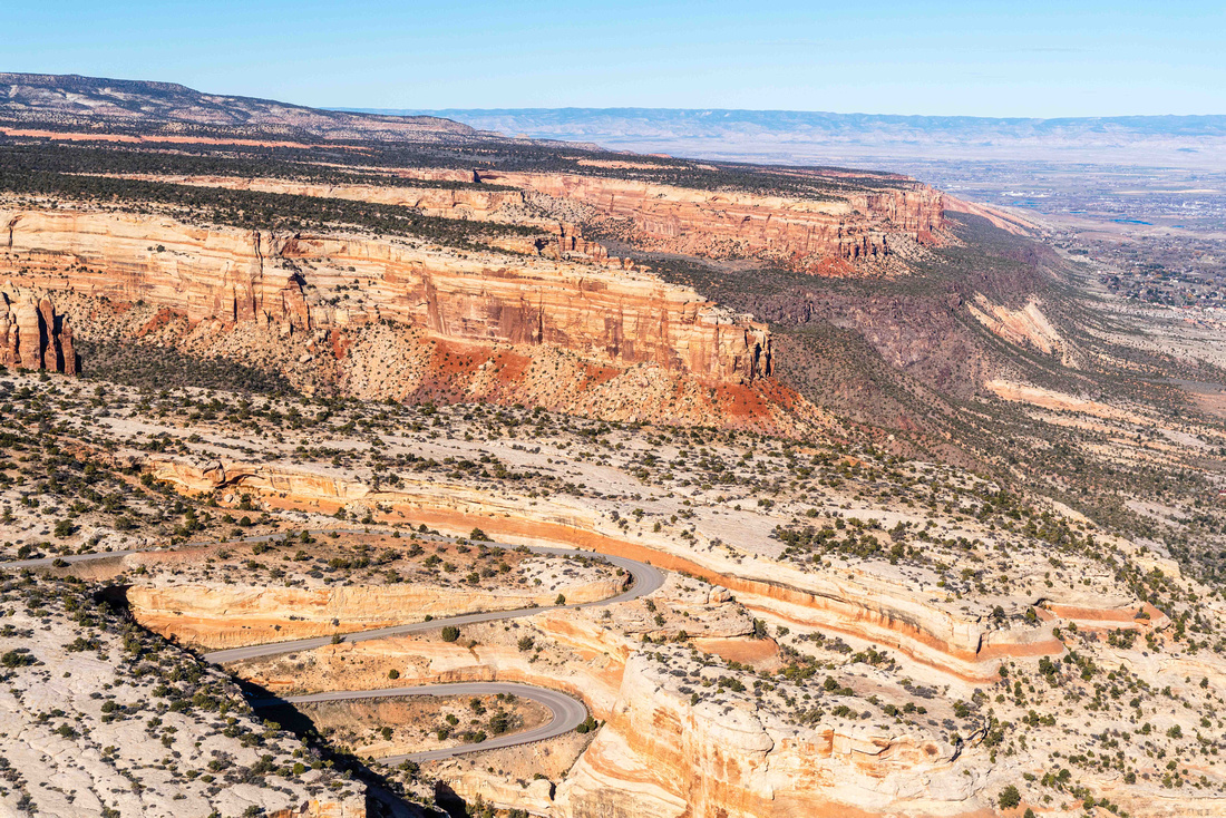
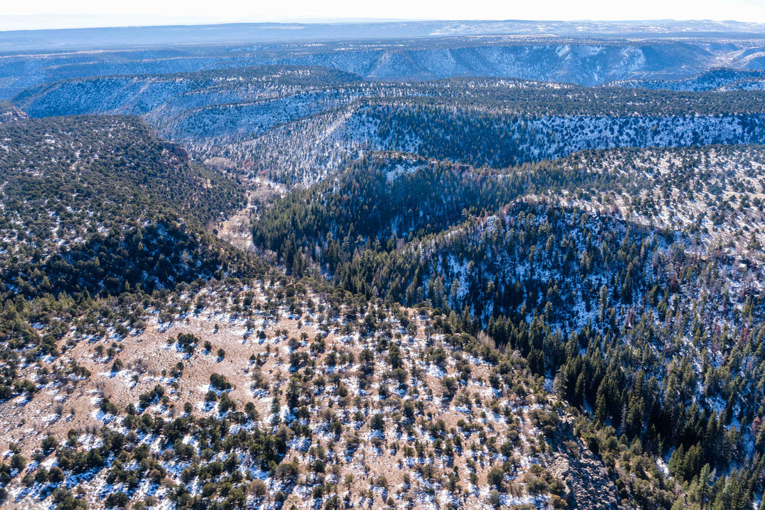
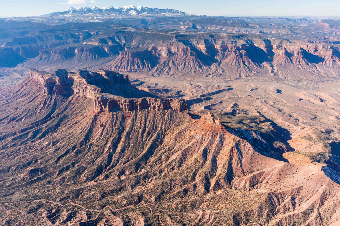
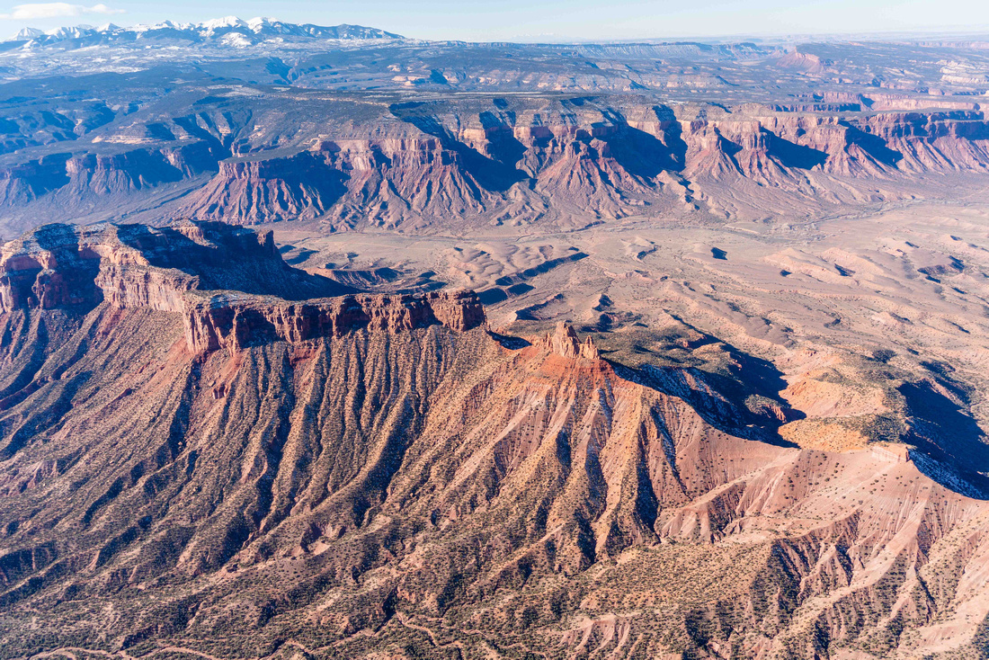
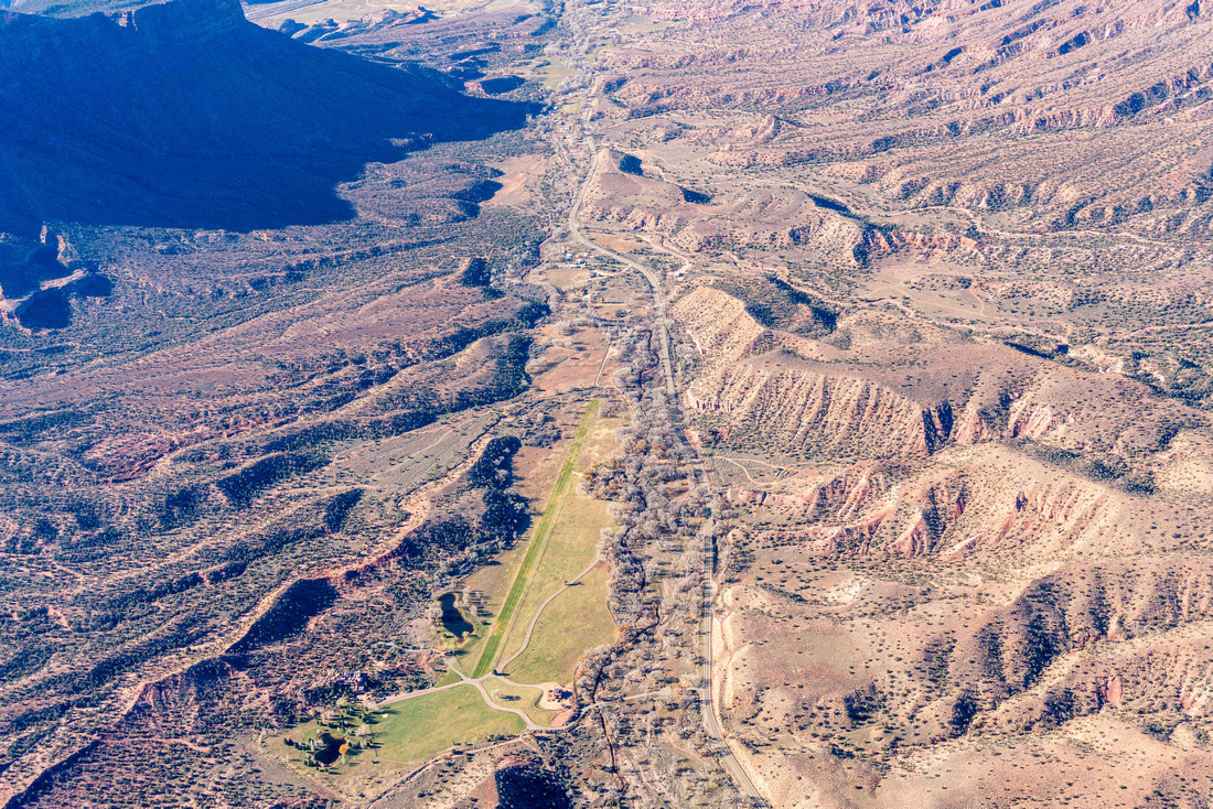
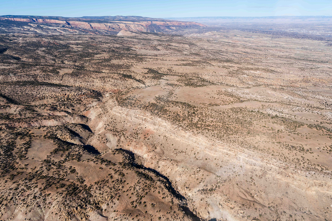
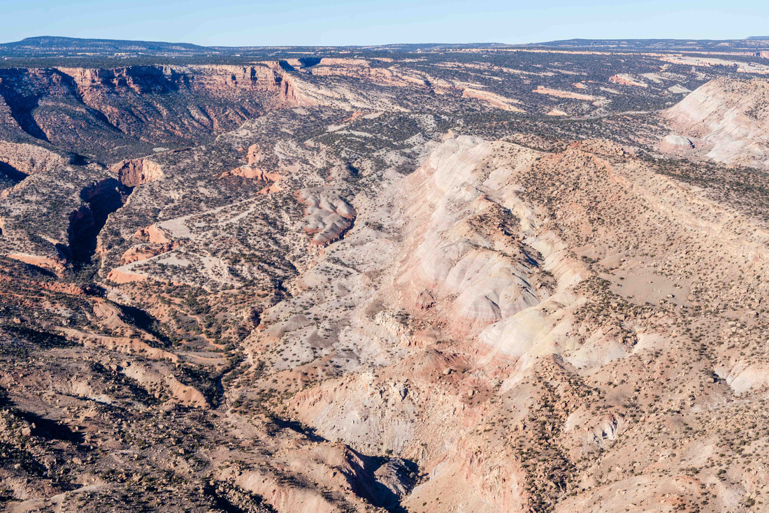
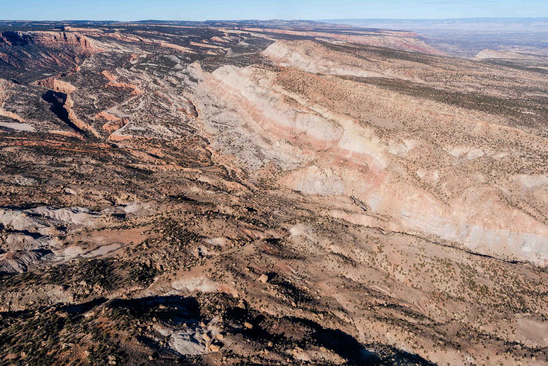
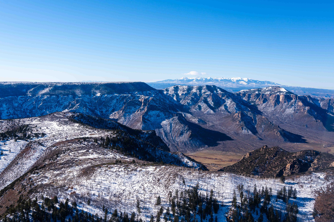
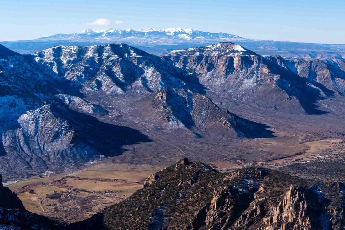
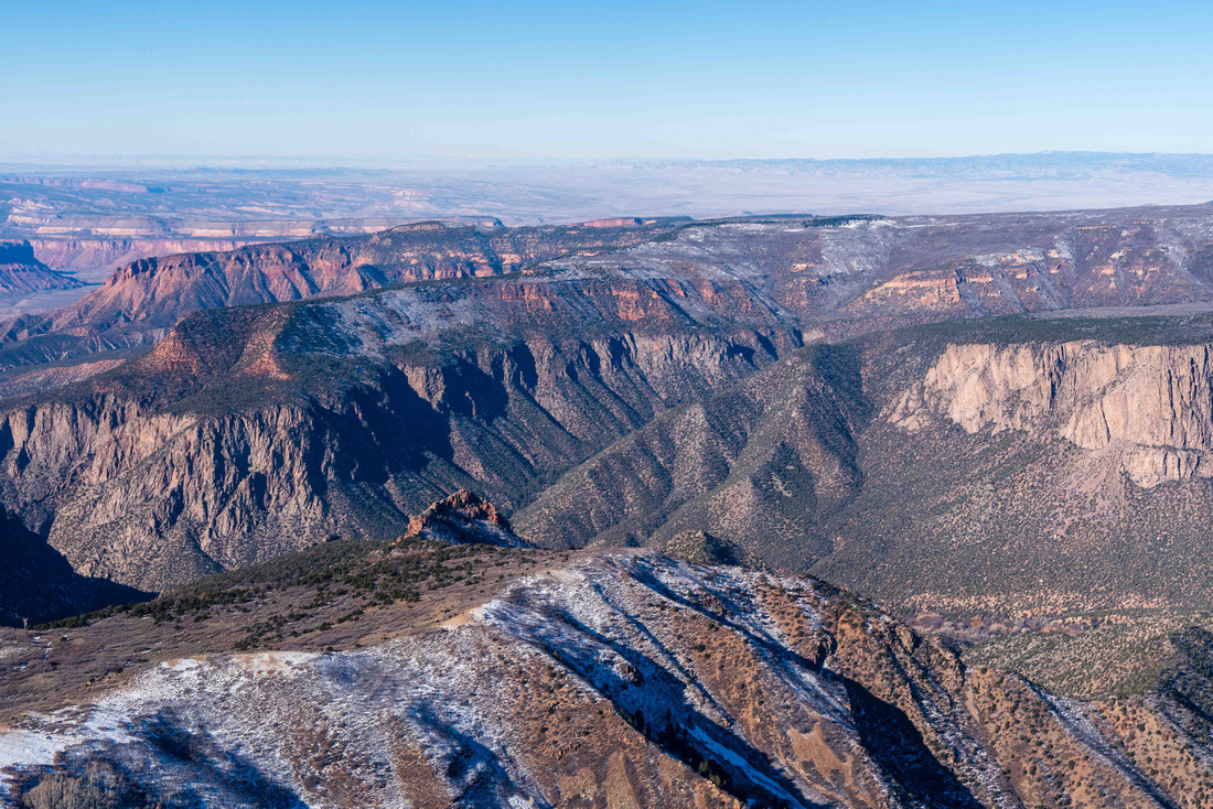
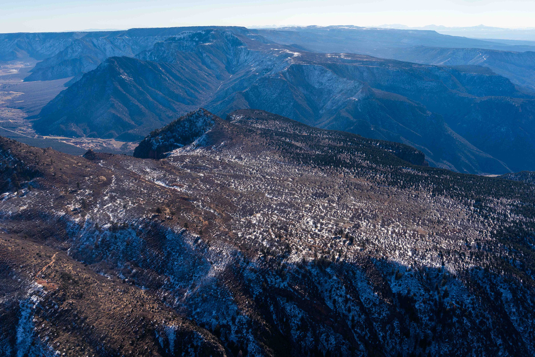
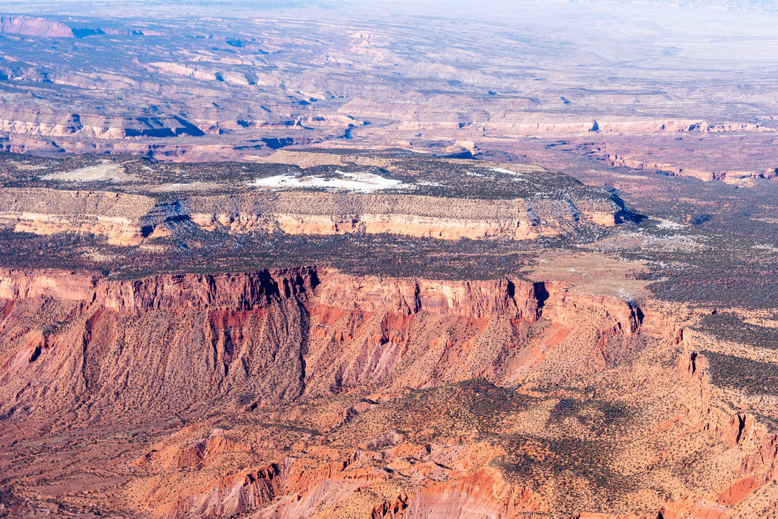
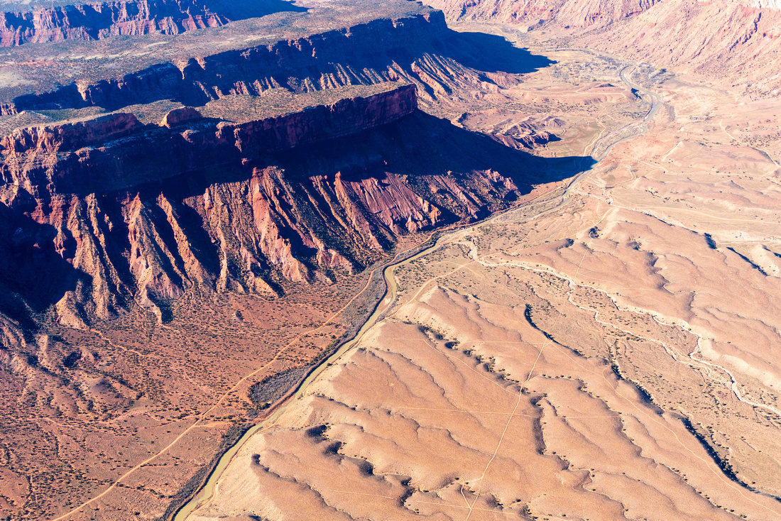
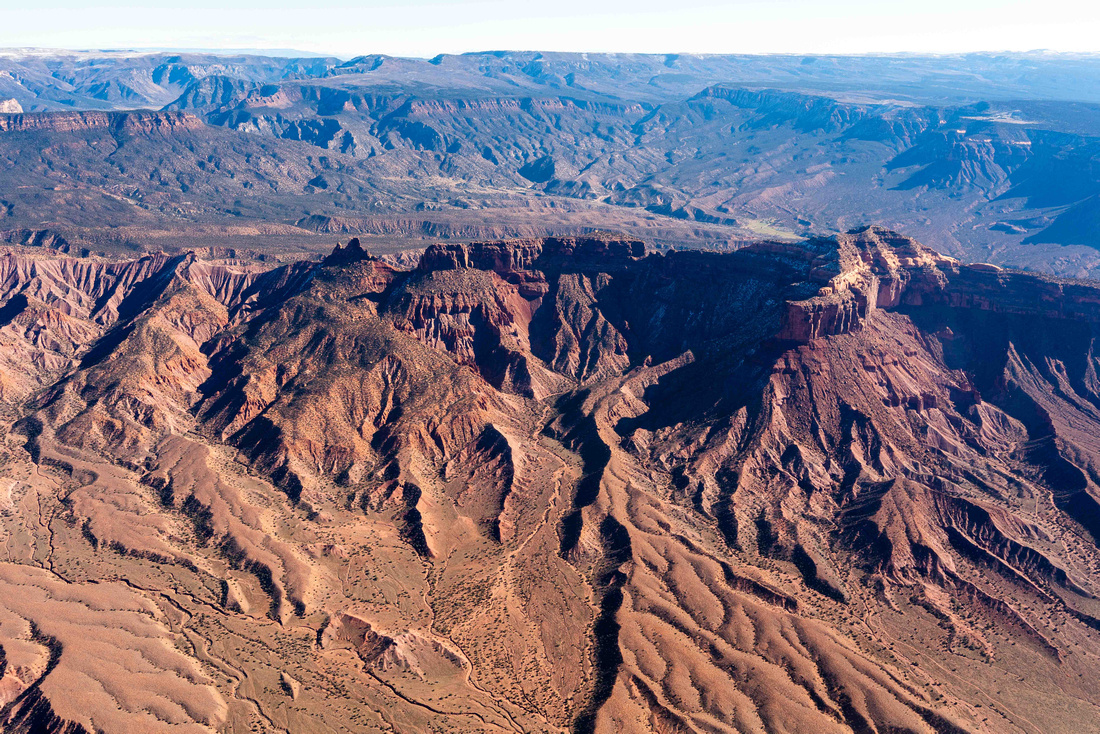
Western Colorado’s Dolores River canyon country is an incomparable landscape of canyons and mesas surrounding the iconic Dolores River. This remote area of the Western Slope is one of the most important concentrations of biodiversity and wilderness-quality public lands in the nation. However, the Lower Dolores River and surrounding canyon country are threatened. Increased interest in uranium mining has sparked concerns that new development could reopen a toxic legacy; scars already dot this landscape. New mining activity would threaten to industrialize and pollute these wildlands, and would raise health and environmental justice concerns for Indigenous communities living near the sole remaining uranium ore processing mill.
The Lower Dolores River country contains rich biodiversity and sensitive wildlife, including bighorn sheep, endangered Colorado River native fish, and the silverspot butterfly, which was recently proposed for Endangered Species Act protection. The region is also part of the homeland of the Ute people, and includes many cultural sites and sacred areas.
Sen. Michael Bennet recently introduced legislation to protect 68,000 acres surrounding the Lower Dolores in Southwest Colorado as a National Conservation Area (NCA). The bill is a solid first step to protecting Colorado’s incredible Dolores River country. This designation would be a benefit to Montezuma, Dolores, and San Miguel counties, while protecting some incredible and special public lands. This bill is a critical first step to protecting an important stretch of the Dolores River and its surrounding public lands, but the job of protecting the greater Dolores region will not be complete. The river continues downstream through an incomparable landscape like the serpentine Slickrock Canyon in Montrose County and through the towering red rock cliffs of the Gateway Area in Mesa County.
Conservationists and stakeholders are coming together to find solutions to protect the whole Lower Dolores River country, from McPhee Dam to the Utah state line. There have been previous efforts to develop a NCA proposal for Dolores country in the region around Gateway, so it is not a new idea. But with new threats such as mining or unplanned increases in recreation, the time is now to permanently conserve the Dolores River canyon country.
Click to download a .kmz file with geo-referenced flight photos