Dolores River
Date: 09/28/2021 State: CO Issues: Watersheds, Wild Lands, Wildlife Partners: Colorado Wildlands Project, Rig To Flip Airport Origin : Aspen, CO
Mission
Educate local elected officials about the land affected in Senator Bennett's proposed bill to create a National Conservation Area (NCA) and Special Management Area on the Dolores River Canyon in Southwest Colorado.
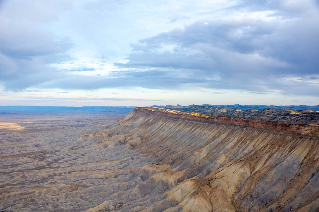
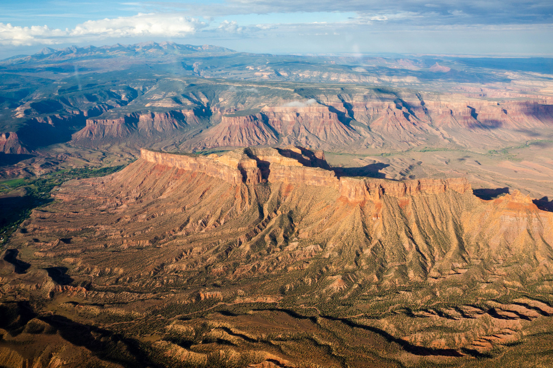
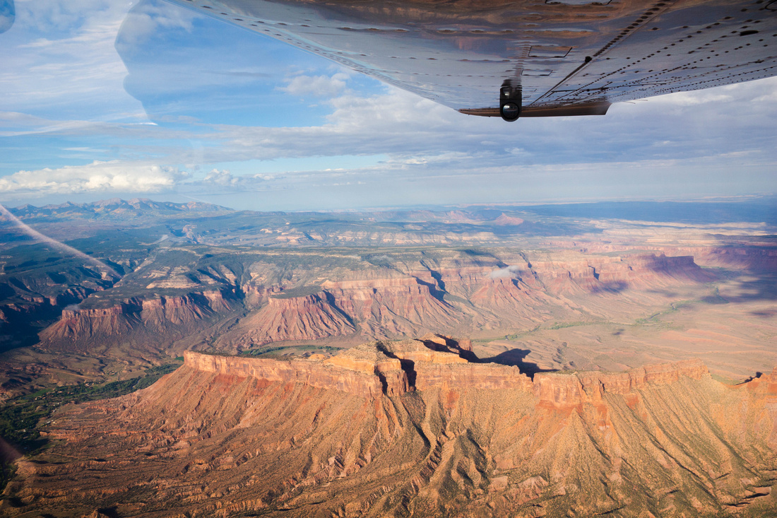
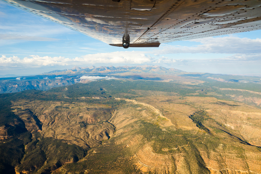
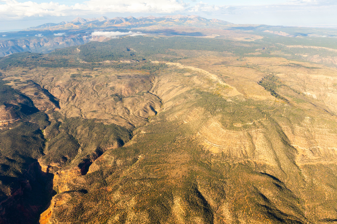
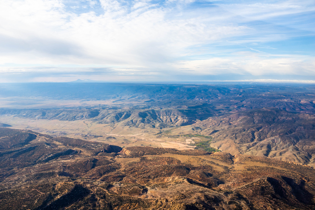
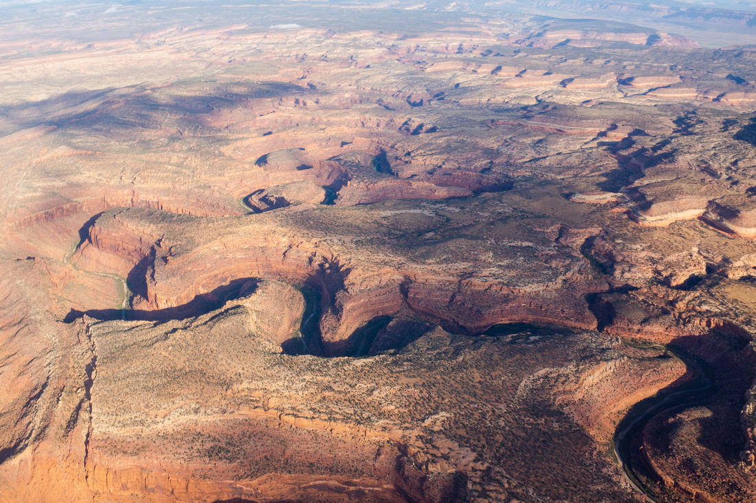
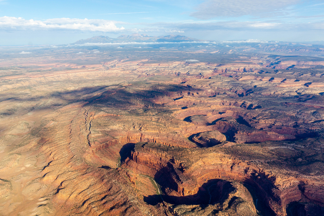
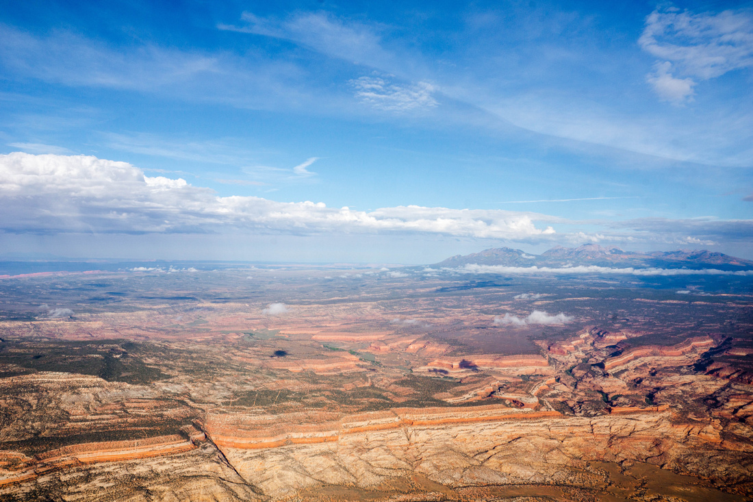
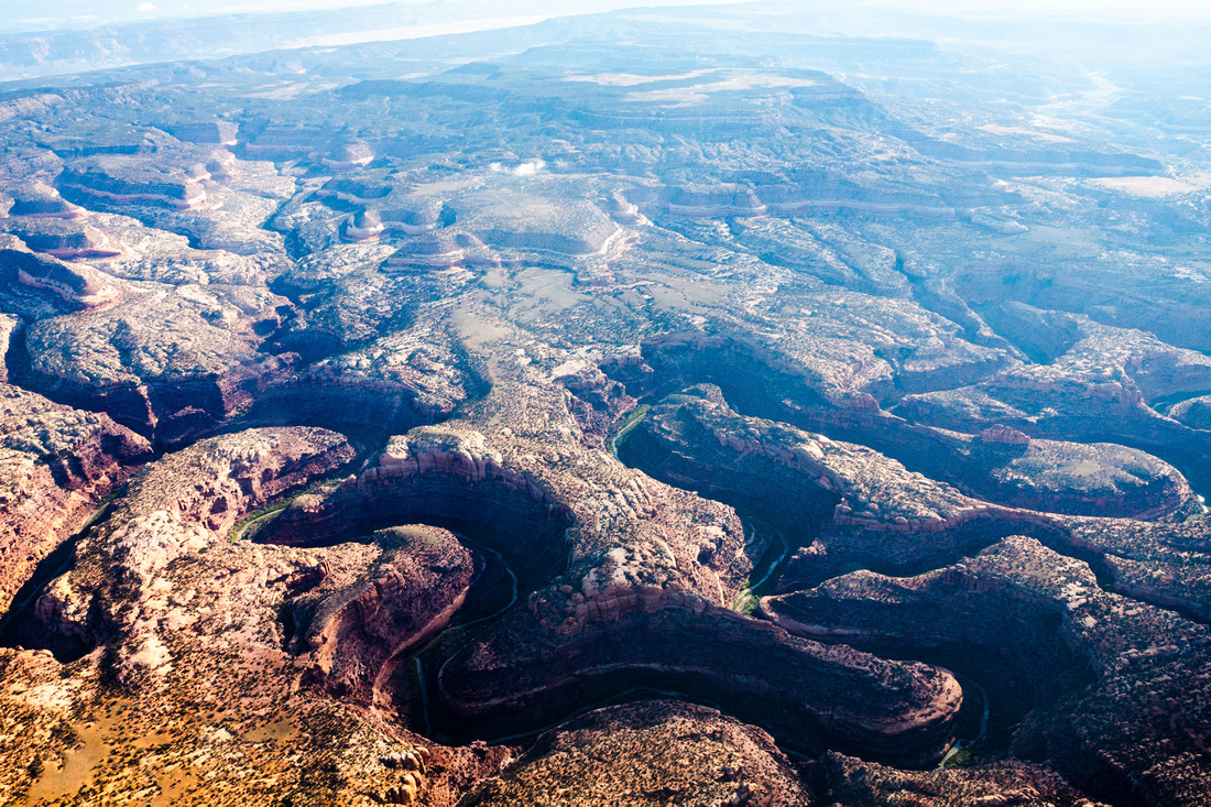
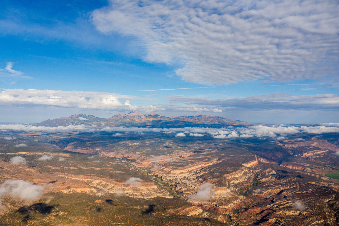
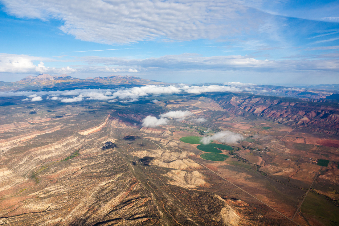
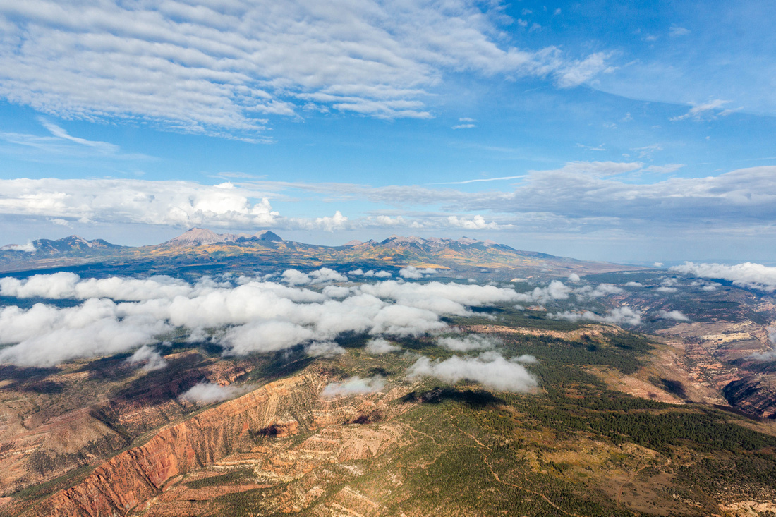
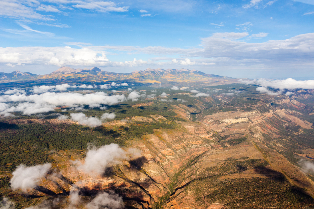
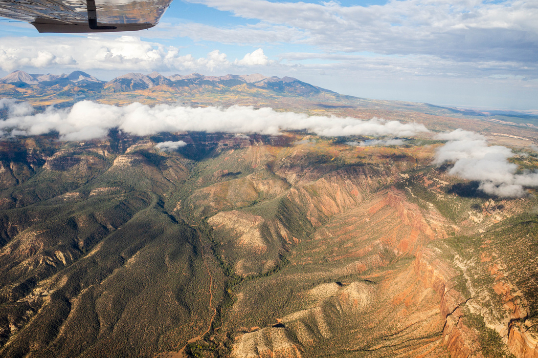
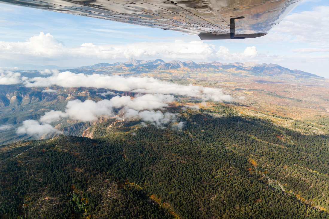
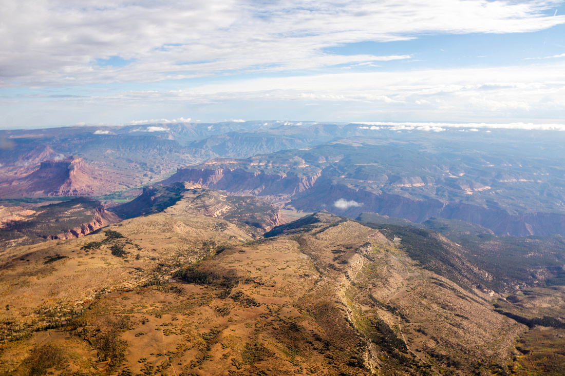
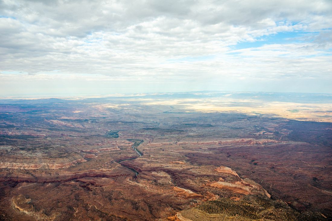
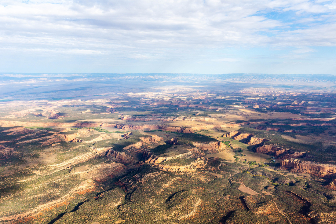
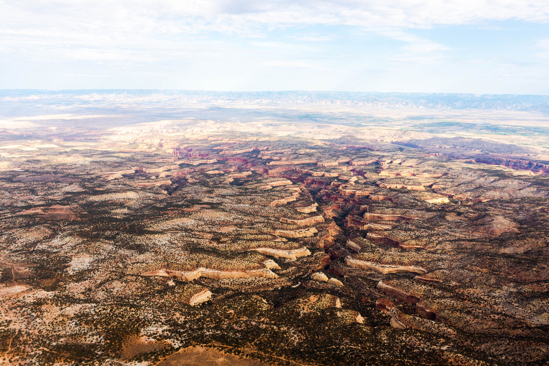
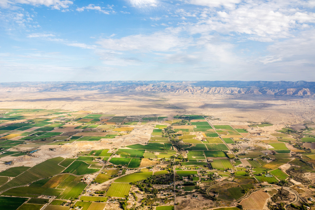
From the alpine headwaters of the San Juan Mountains the Dolores River winds into the desert of the Upper Sonoran. The Dolores River is a gorgeous waterway that flows nearly 230 miles to its confluence with the Colorado River in Grand County, Utah. Surrounded by high orange and red sandstone cliffs and ponderosa pines, the Dolores spans geographical and climactic zones. The Dolores River provides unspoiled recreation for expert rafters, campers, canyon-side hikers, wildlife viewers, and fishermen & women. The Dolores River boasts world-class fishing, best known for brown trout, but fly-fishers often reel in large cutthroat, rainbow, and cutbow trout. Originally named The River of Our Lady of Sorrows, the Dolores provides water for drinking and agricultural irrigation. A draft bill has recently been proposed to protect the agricultural water supply, recreation, sacred values, archaeology, wildlife, and scenery of the Dolores River.
Proposed by U.S. Senator Michael Bennet, this bill would create a National Conservation Area (NCA) and Special Management Area on the Dolores River Canyon in Southwest Colorado. This bill would create a customized Congressional plan to manage BLM owned areas of the Dolores. The management plan would follow the National Environmental Protection Act process and would involve multiple public comment periods. In the face of climate change and drought, additional management and a NCA are needed to protect the Dolores watershed, ecosystem, and local economies.