Eel River Watershed
Date: 08/19/2023
State: CA
Issues: Watersheds, Wildlife
Partner: California Wilderness Coalition
Airport Origin : Lakeport, CA
Mission
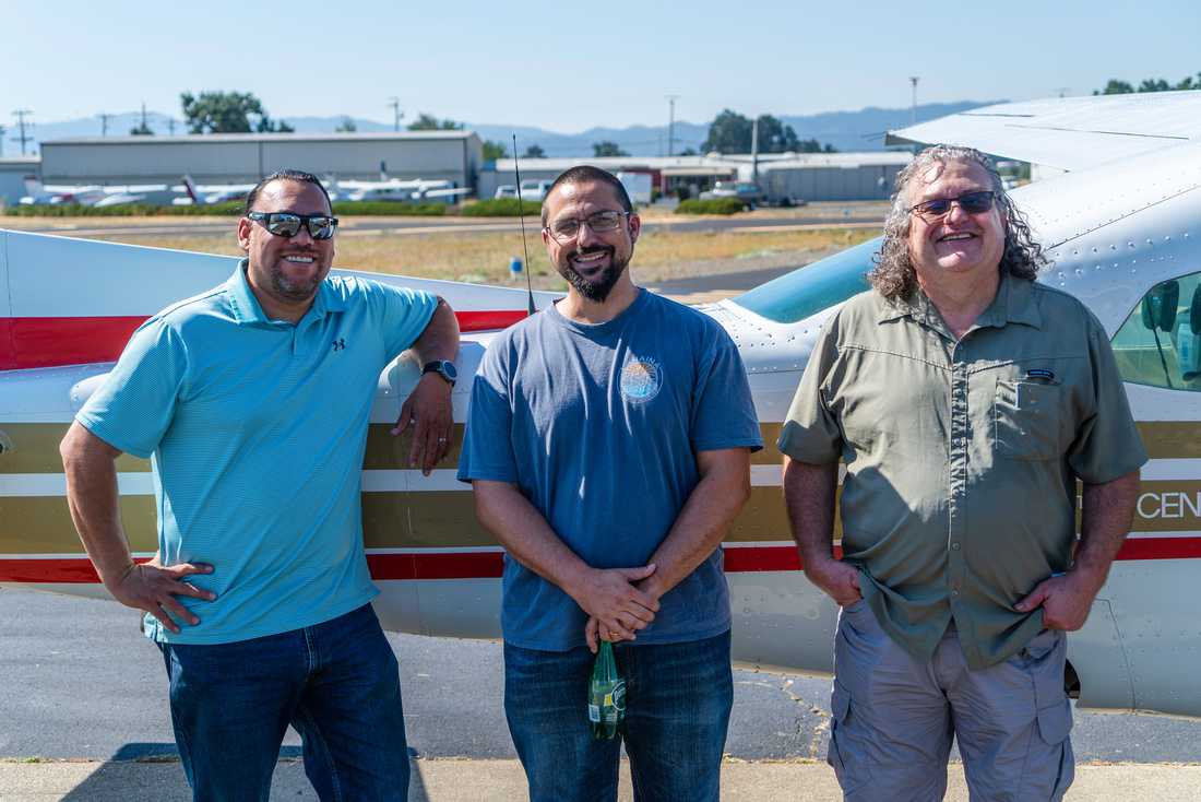
Fly Lake County Supervisors and CalWild over the Eel River to discuss ways to restore riverine and fishery health to the watershed.
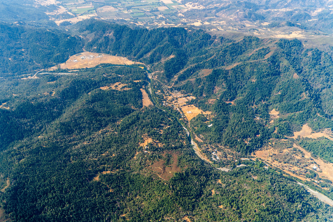
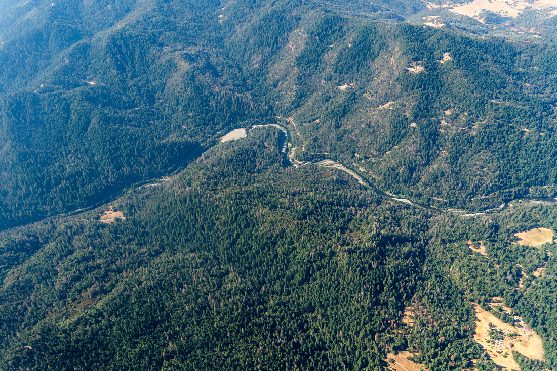
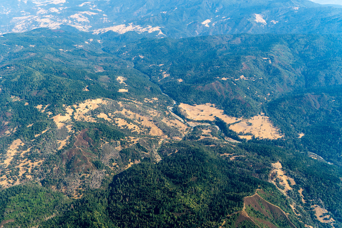
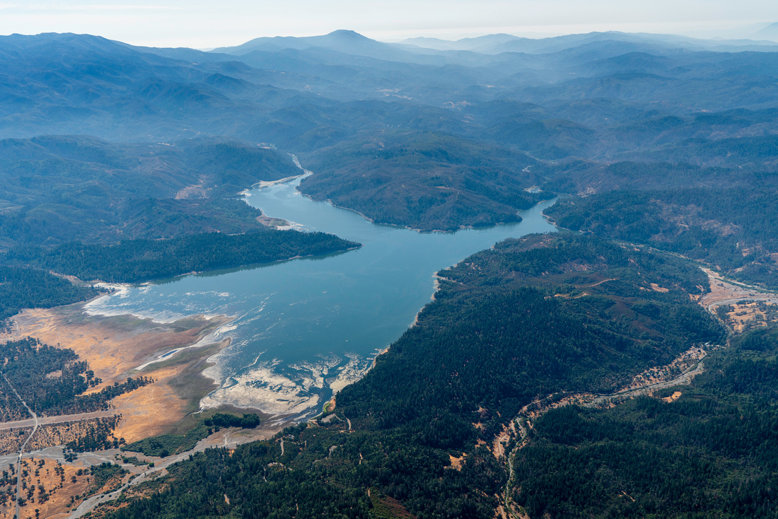
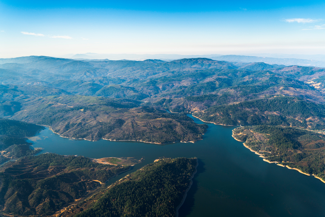
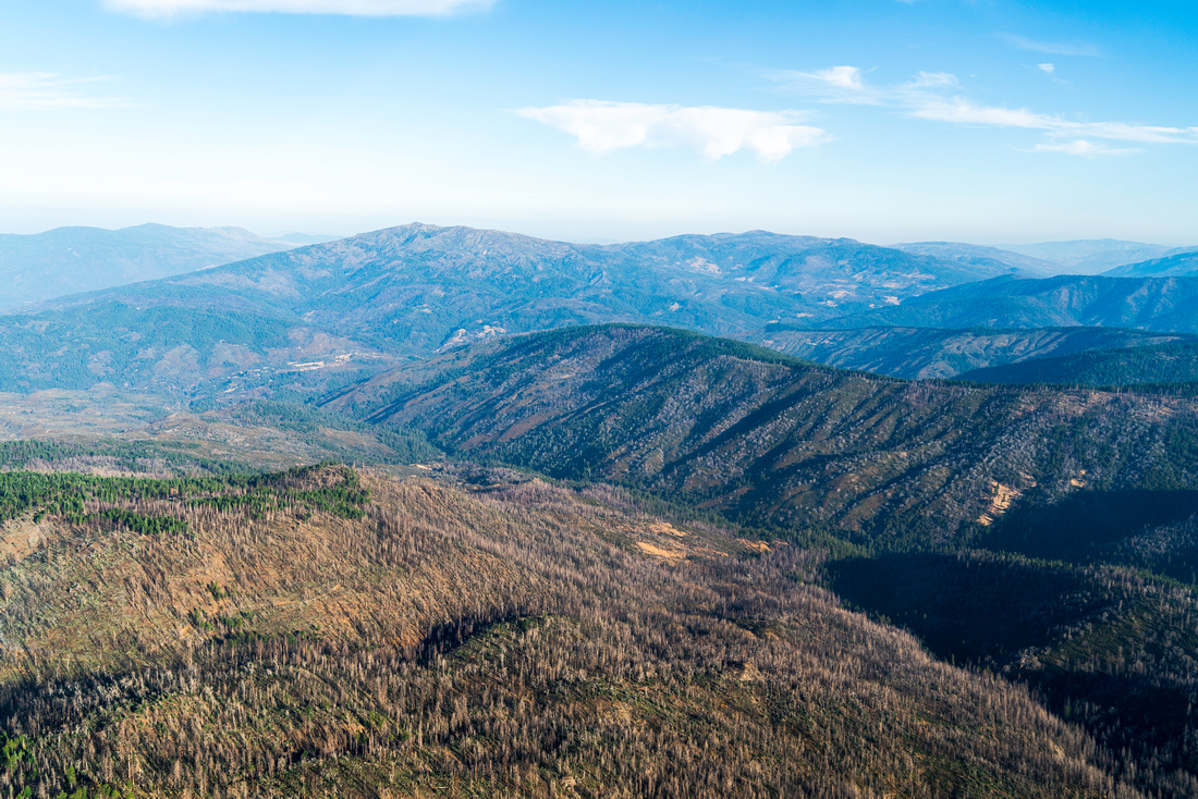
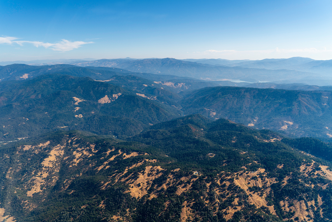
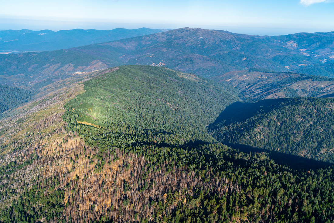
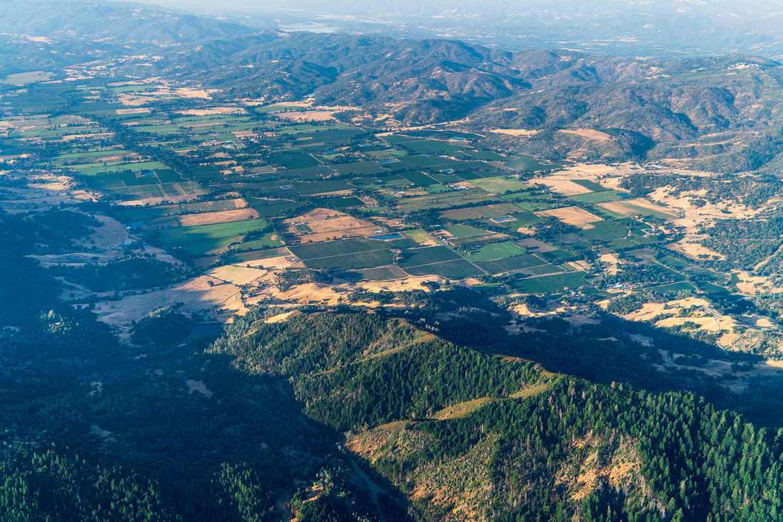
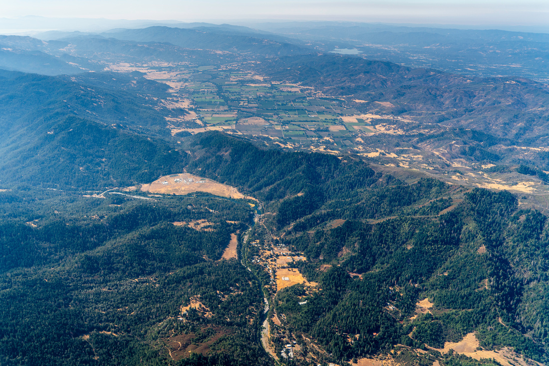
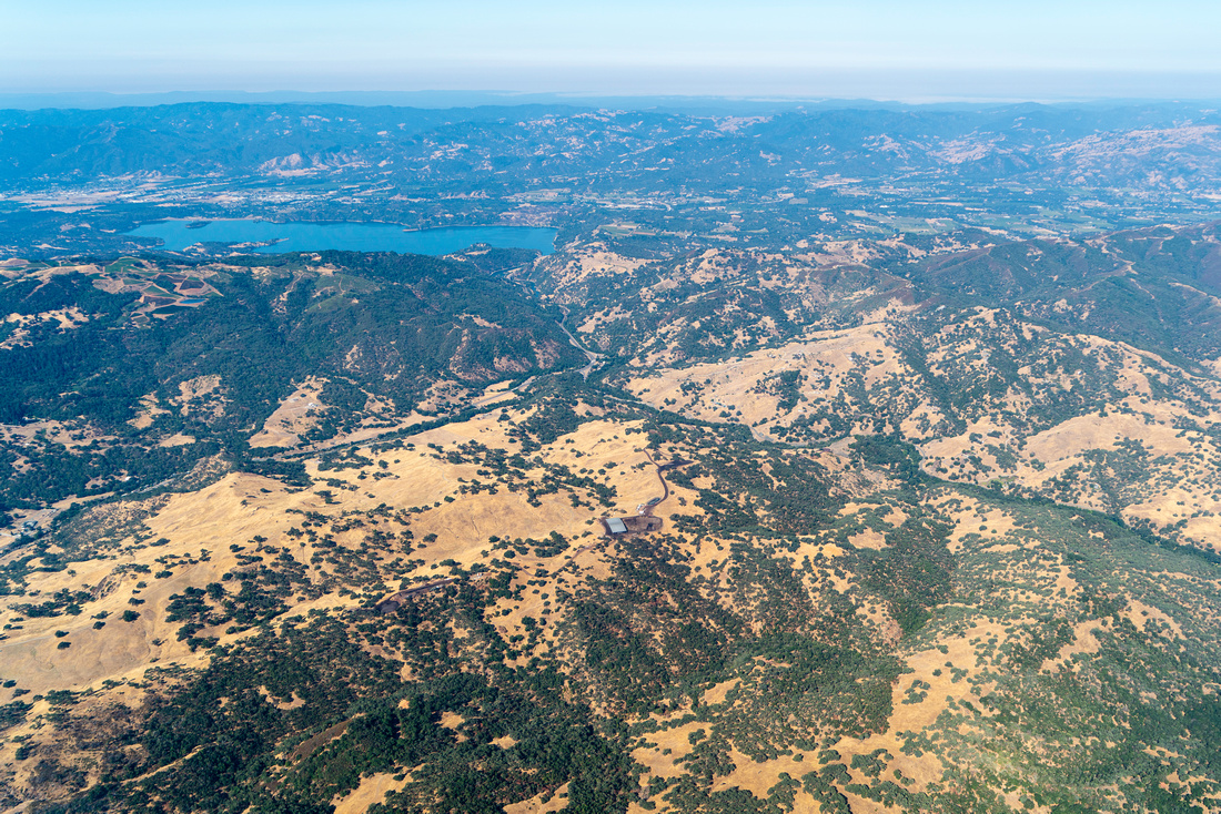
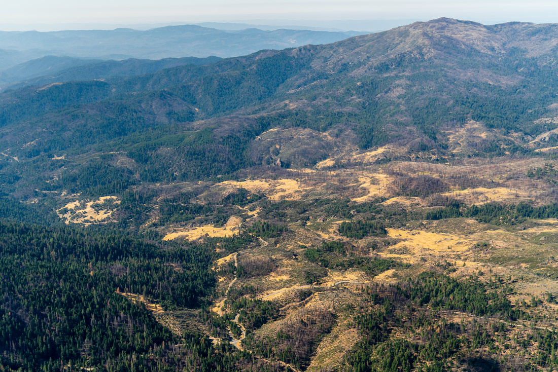
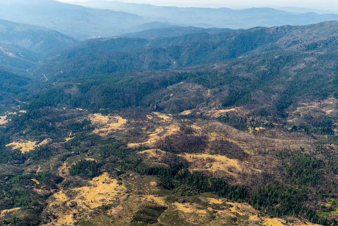
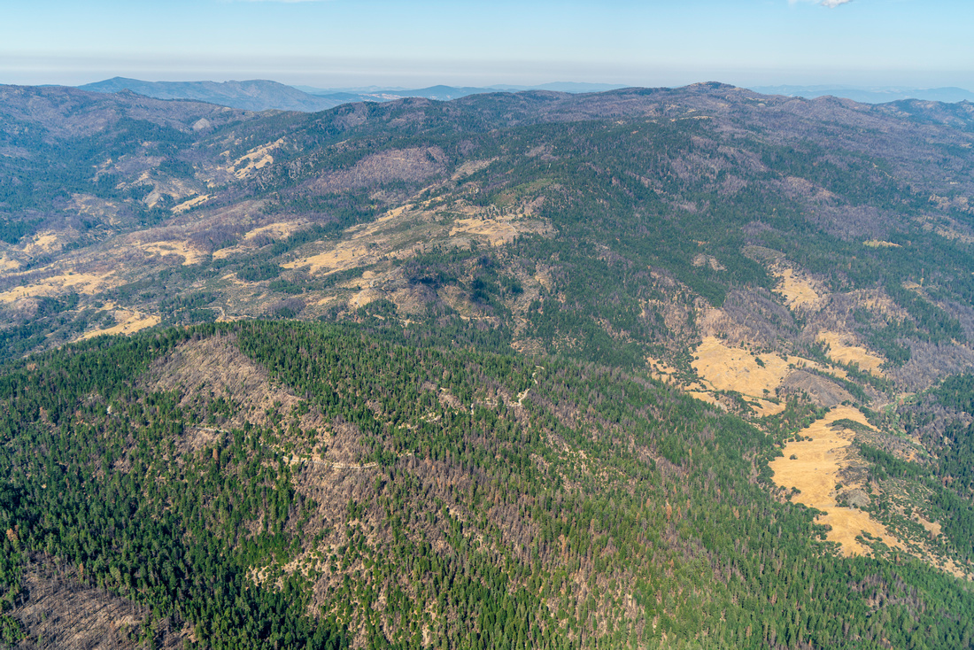
The Wild and Scenic Eel River flows through northwestern California. Once one of the largest salmon producing rivers in the state, the river has supported Indigenous people since time immemorial with water and sustenance in the form of salmon, steelhead, and Pacific lamprey. But these culturally important species have been reduced to just a fraction of their former abundance by historic logging, water diversions, road building, pollution, and by a hydroelectric project that entombs the headwaters of the Eel River behind two aging dams.
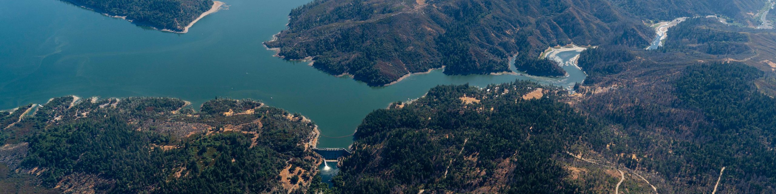
Scott and Cape Horn dams form the Potter Valley Project and divert water out of the Eel River headwaters and into the Russian River. Cape Horn Dam is the first obstruction salmon swimming upstream face. The dam, built in 1908, has a fish ladder, although some species like lamprey are still unable to navigate past the dam. 12 miles upriver, Scott Dam completely blocks fish from accessing a 300 square mile watershed. The headwaters behind the dams represent some of the most important habitat for salmon in the entire Eel River watershed.
EcoFlight's partners are advocating for healthy watersheds and communities. Action is needed to recover salmon and steelhead runs and to restore natural riverine temperatures that will promote a healthy ecosystem. The obsolete dams no longer generate electricity, and recently, dam safety concerns have forced the owner of the dams, Pacific Gas and Electric, to reduce the volume of water stored behind Scott Dam.
The Eel River was named one of American Rivers’
Most Endangered Rivers of 2023, highlighting the importance, urgency, and necessity of restoring riverine health.
Click for geo-referenced photos from the flight . This .kmz file is best viewed in Google Earth