Efforts to Designate the Owyhee Canyonlands National Monument
Home » » Efforts to Designate the Owyhee Canyonlands National Monument
Efforts to Designate the Owyhee Canyonlands National Monument
Date: 10/04/2023
State: ID
Issue: Wild Lands
Partners: Friends of the Owyhee, Oregon Natural Desert Association
Airport Origin : Ontario, OR
Mission
View the outsanding Owyhee region from above with conservationists, Tribal artists, and members of the media who are working towards protecting the Owyhee.
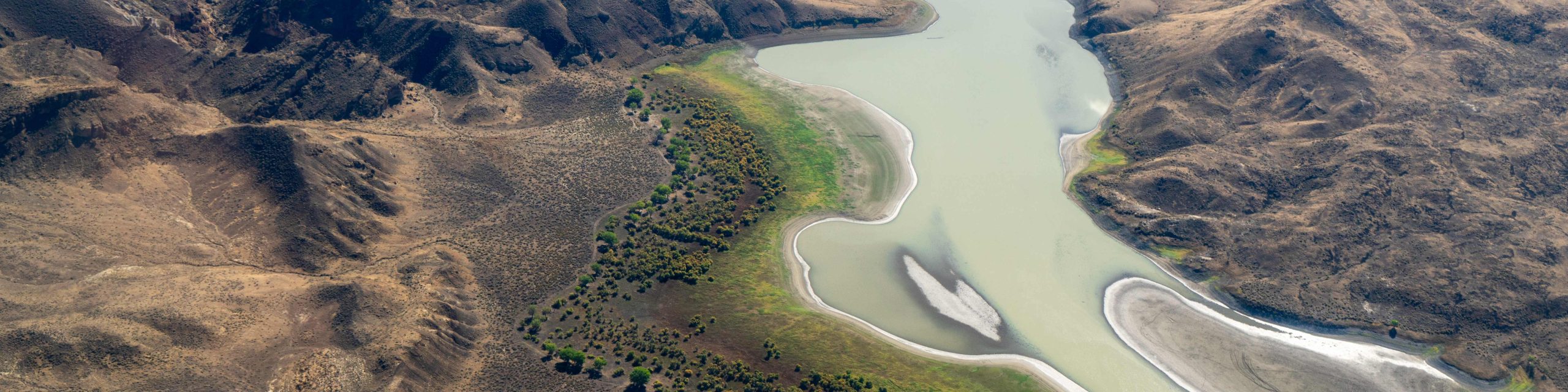
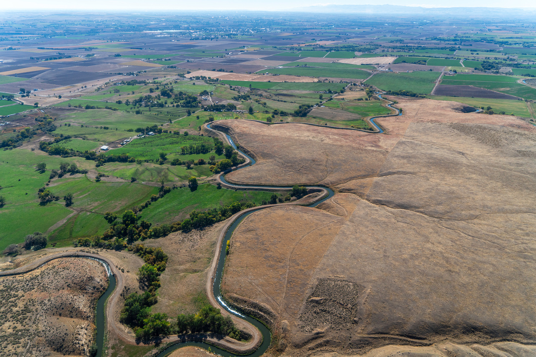
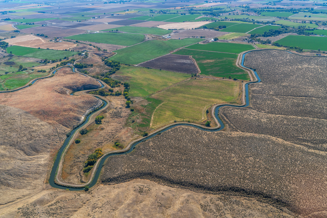
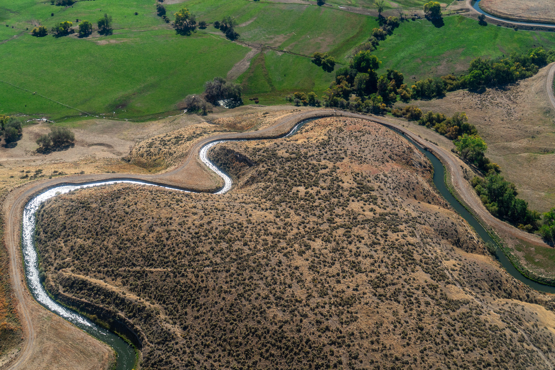
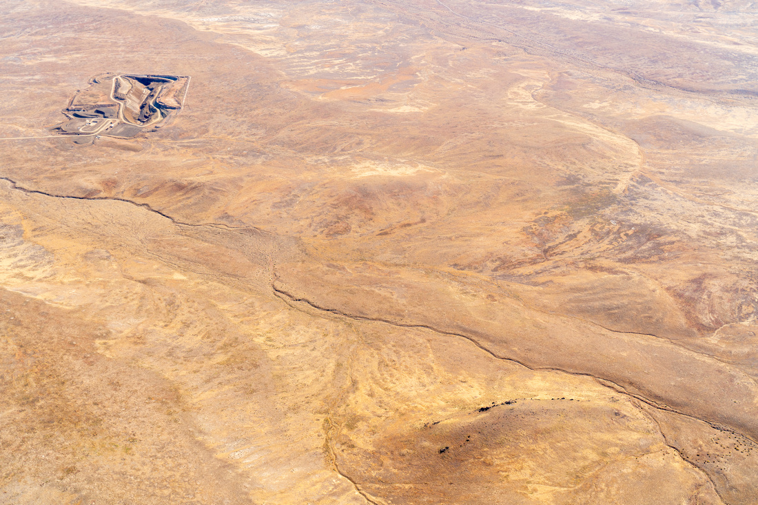
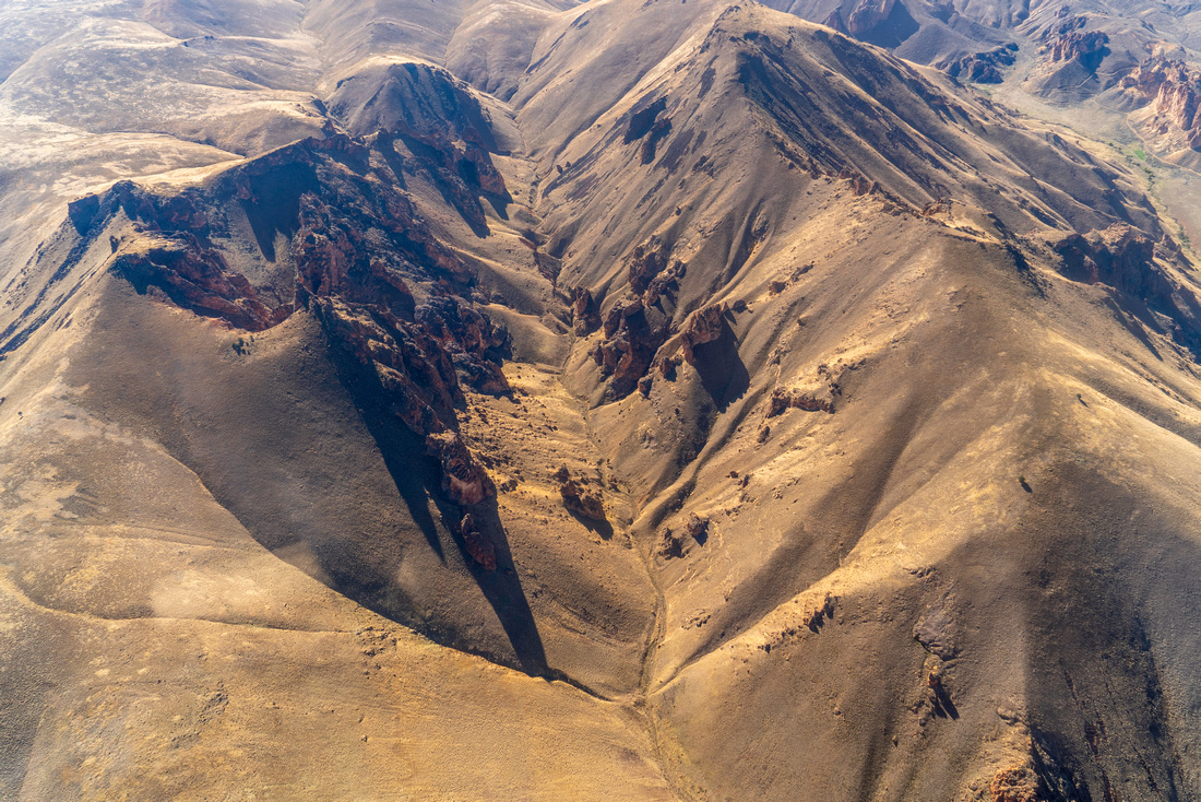
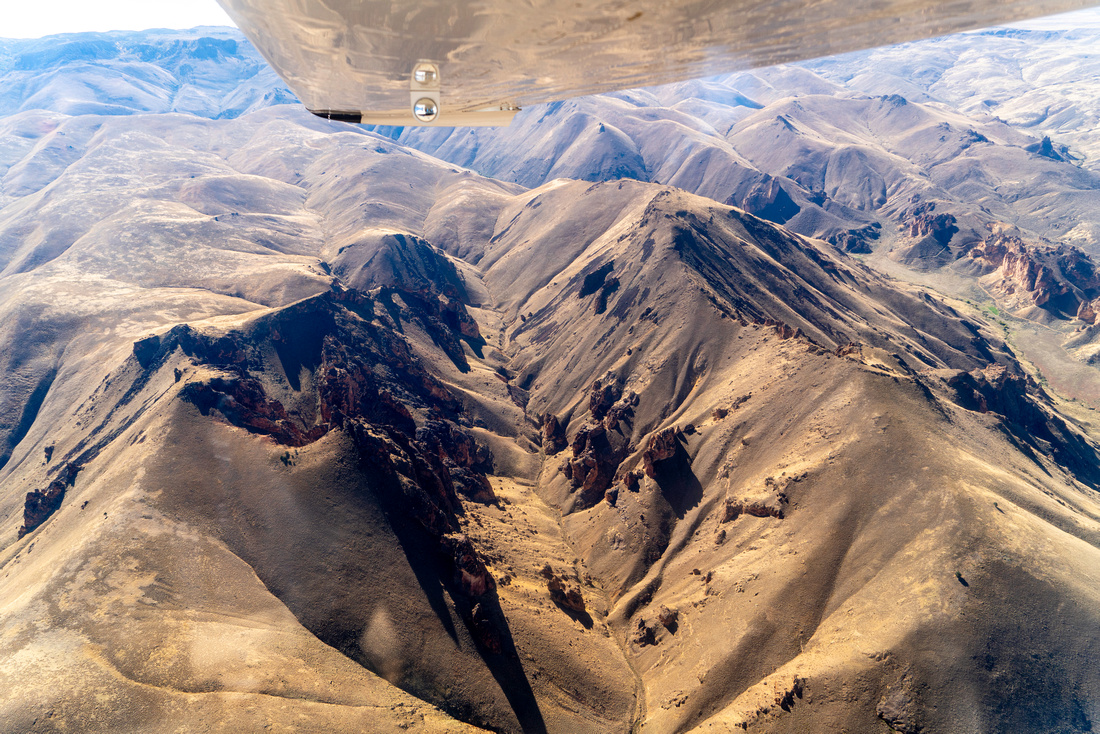
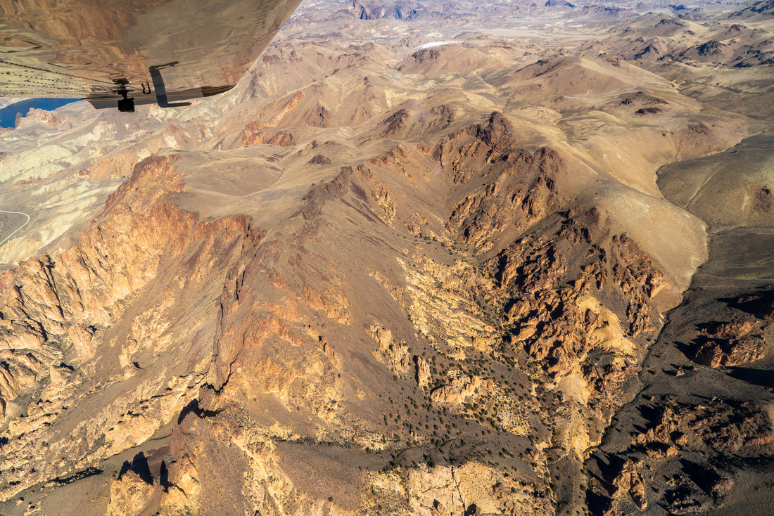
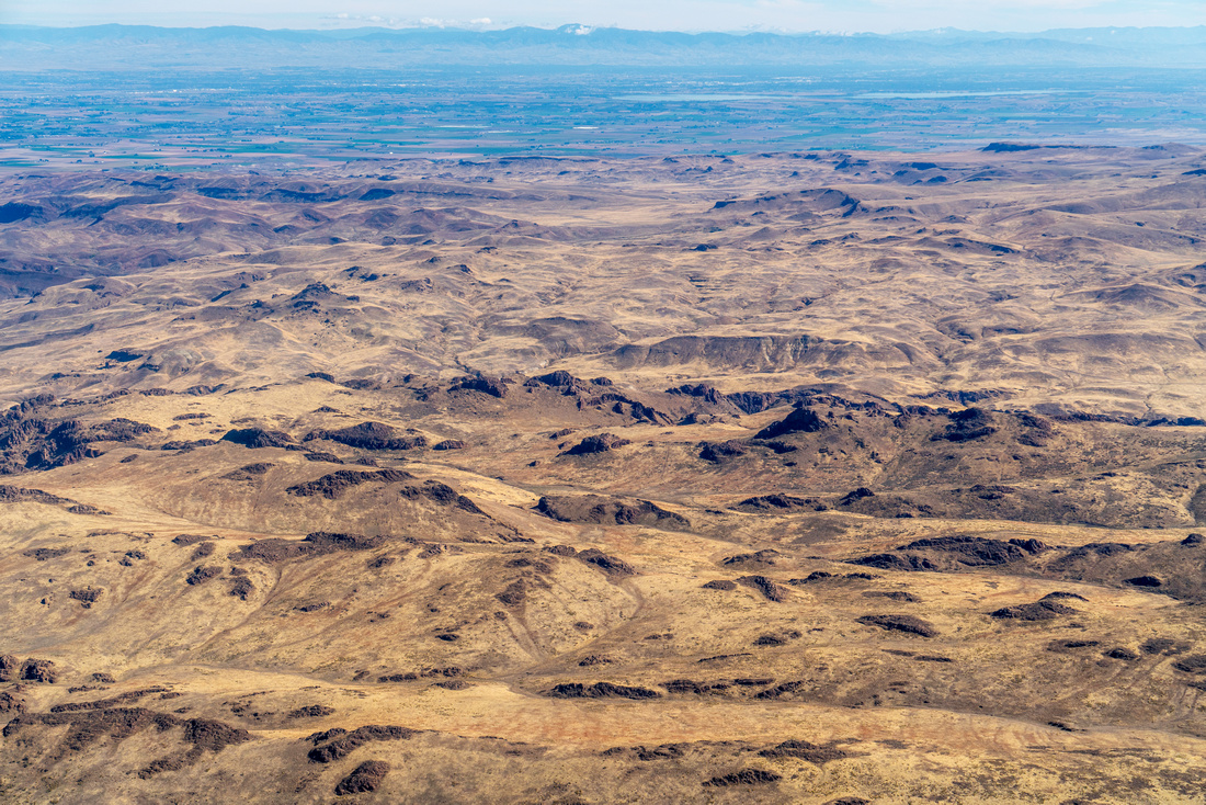
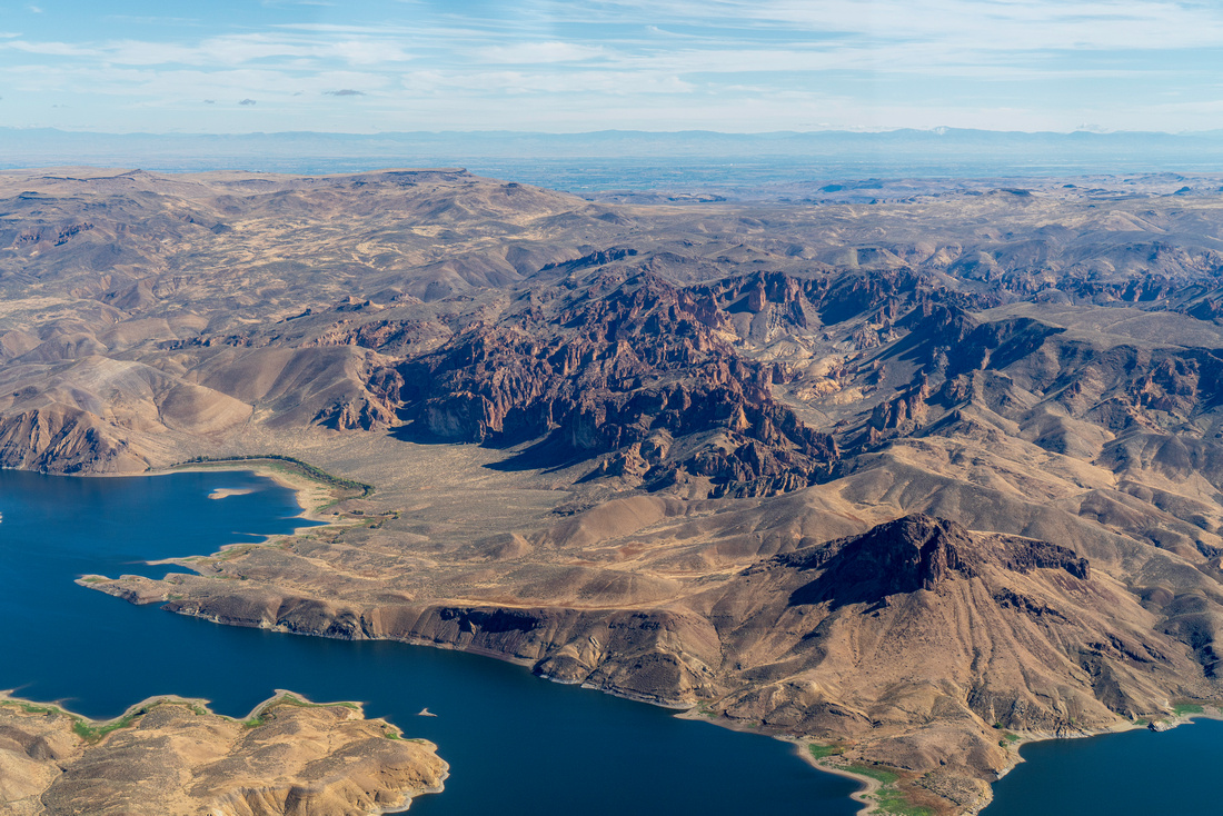
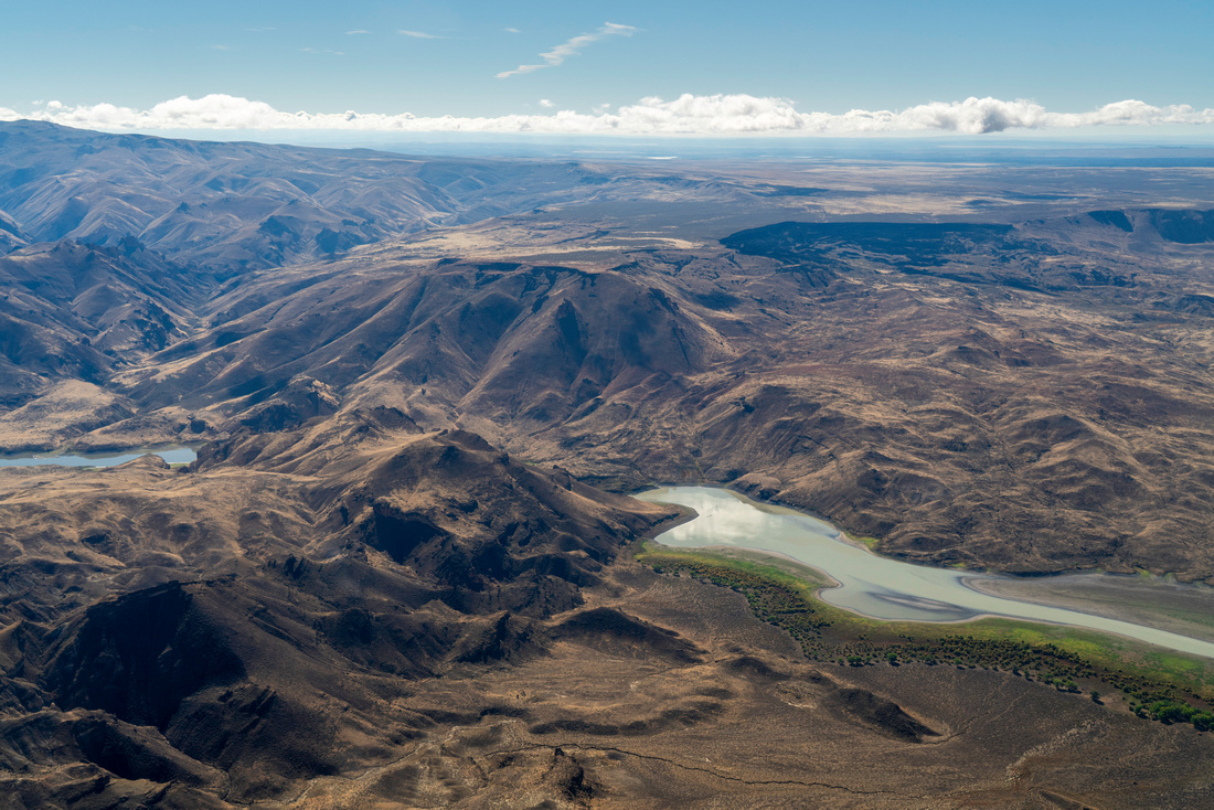
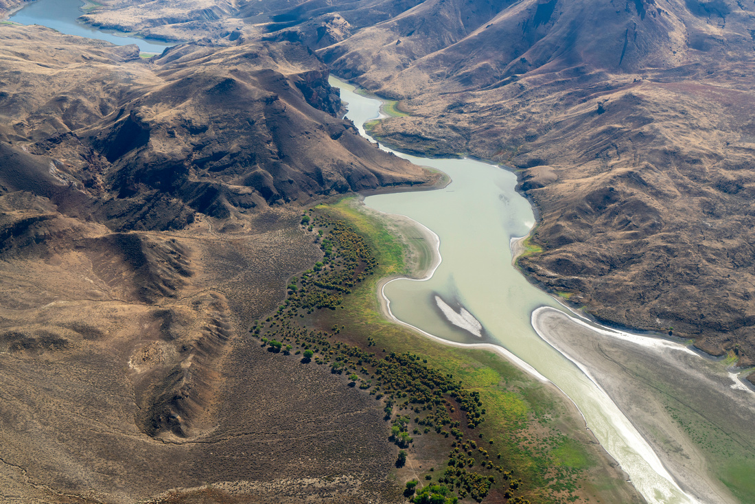
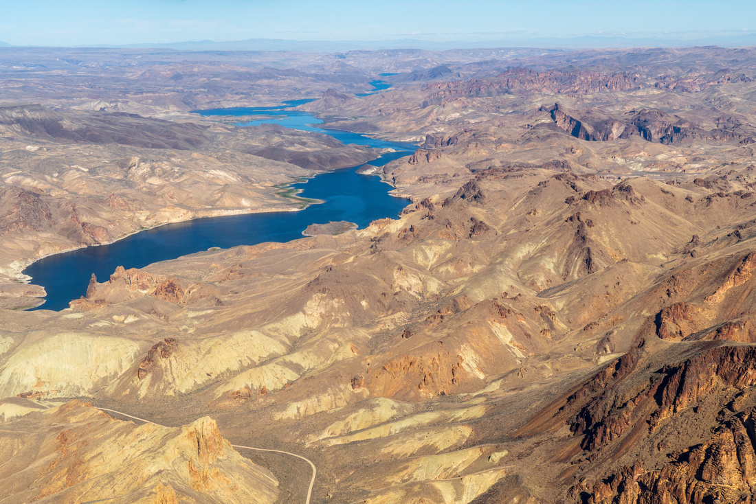
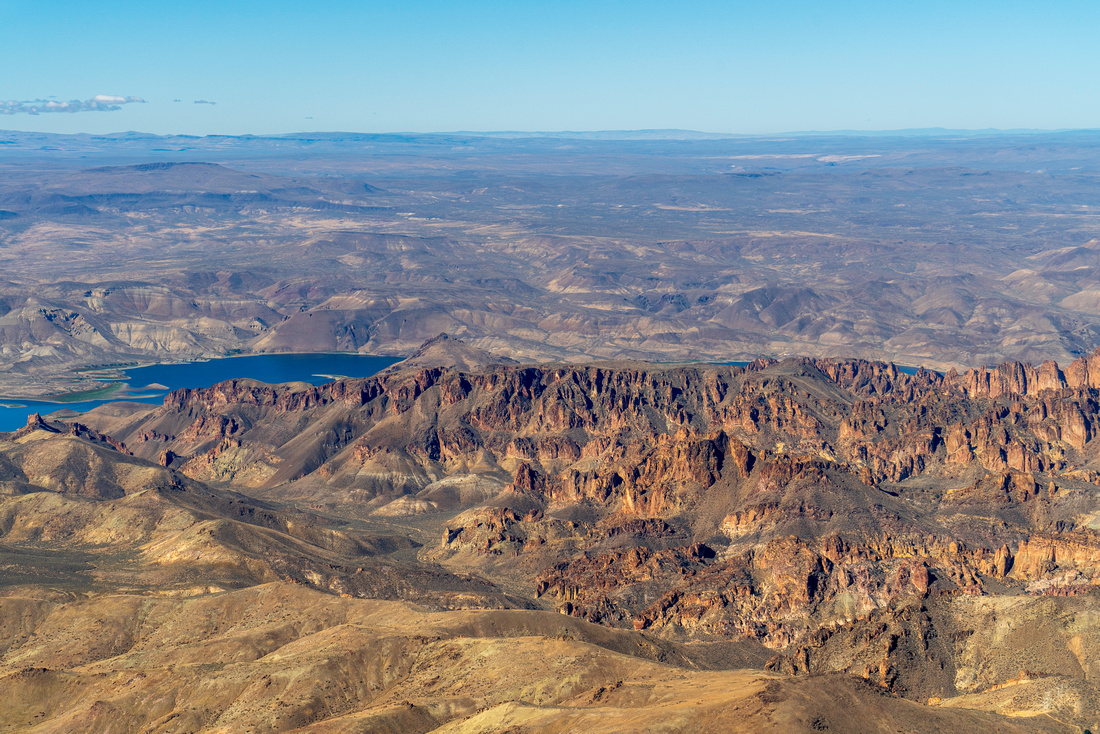
The Owyhee is a rugged, remote region of sagebrush steppe and deep canyons cut by rivers flowing from mountainous headwaters. It covers eastern Oregon and southeast Idaho along with parts in northern Nevada. The area provides critical refuge for iconic species such as bighorn sheep, sage grouse, and redband trout. The Owyhee is defined by its incredible opportunities for solitude, its wild nature, and valuable assets to Indigenous peoples and outdoor enthusiasts. Over 600,000 acres of Wilderness and 324 miles of Wild and Scenic rivers have been designated in the Owyhee, with many areas eligible for future designation.
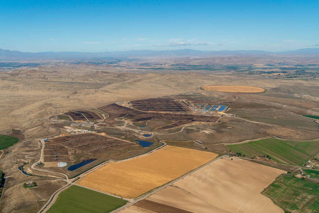
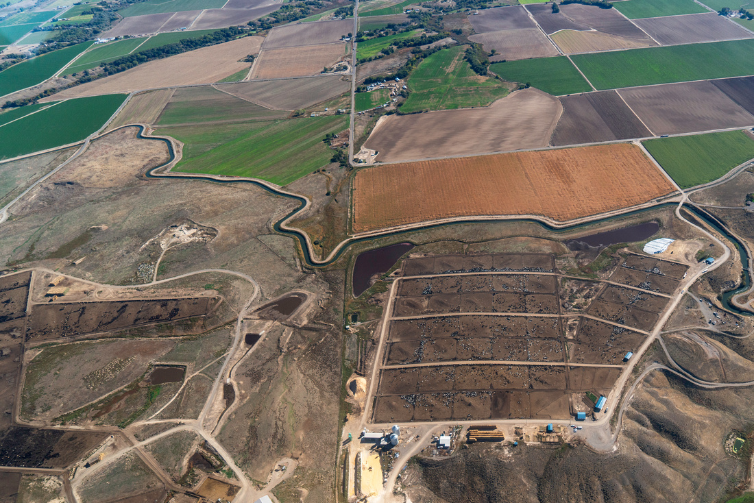
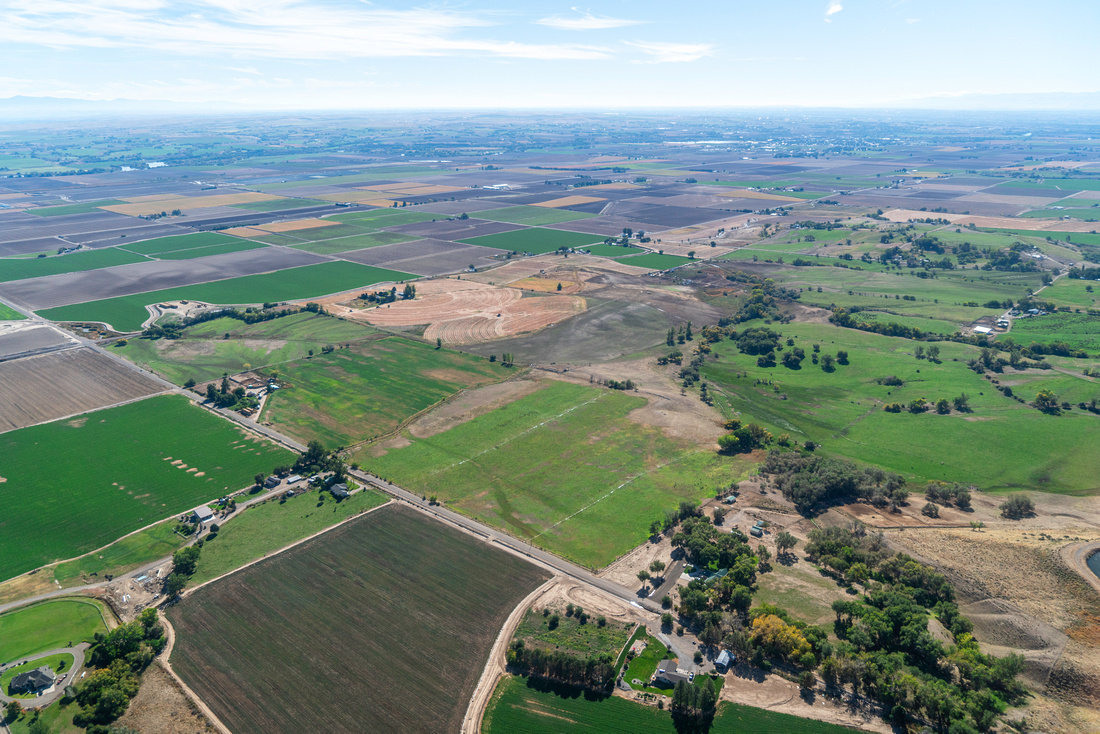
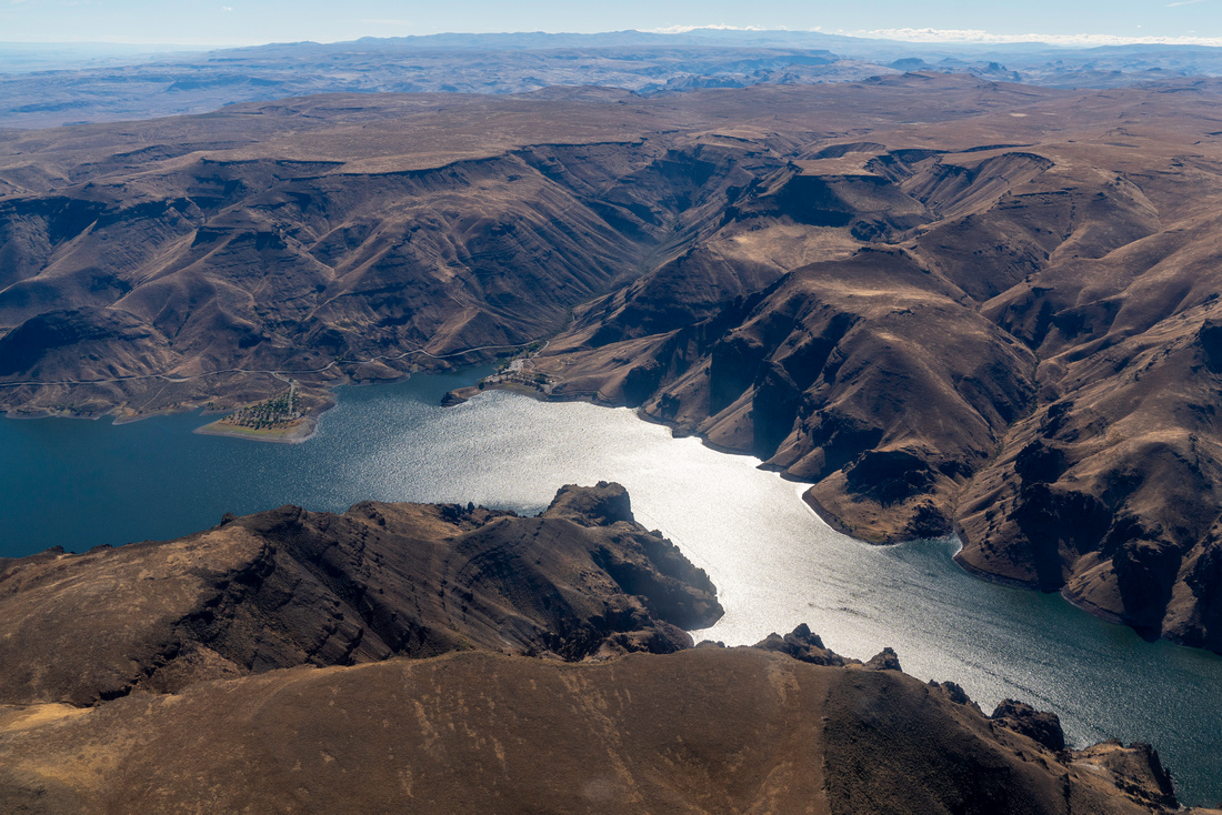
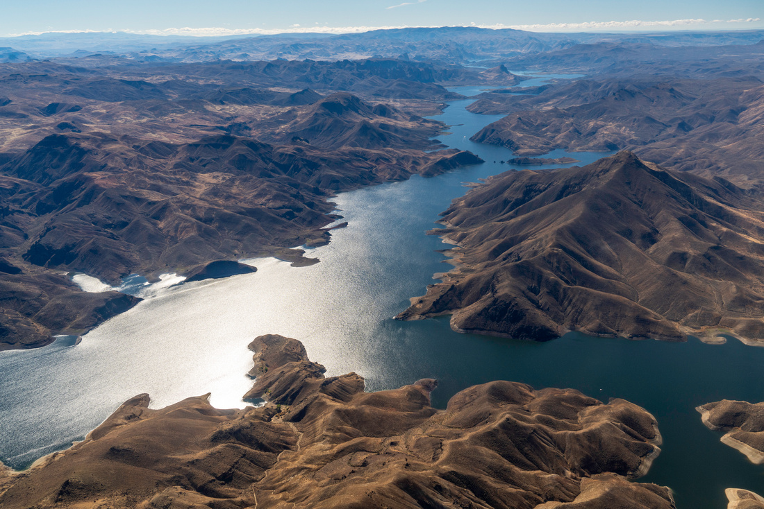
We flew through the Owyhee in eastern Oregon and over communities who enjoy and are supported by the Owyhee. We flew above farmlands that rely on water from the Owyhee and saw urban sprawl encroaching from Boise and reaching the Owyhee Front. Following the Owyhee River, we flew above Owyhee Dam and over Owyhee Lake, a popular recreation area for camping, fishing, and boating. Beyond expanding urbanization and recreational use, the Owyhee is threatened by mining proposals. We flew over the proposed Grassy Mountain Mine site, which if approved, will become Oregon's first chemical process gold mine. We flew nearby the proposed DeLamar Mine, a historic silver and gold mine that operated from 1977 to 1998 and at the time of its closure had five major pits. Integra Resources acquired DeLamar Mine in 2017 with the hope to extract more precious metals at the site.
EcoFlight's partners are working to protect the beautiful, recreation oasis that is the Owyhee by urging President Biden to establish the Owyhee Canyonlands National Monument. This swift action could create lasting protections that are widely supported by Oregonians and Idahoans. For years our partners have also been advocating for a Wilderness Area designation. In 2019, ranchers, conservationists, and Oregon’s Senator Wyden came together and proposed a 1.13 Million acre Wilderness in Malheur County, about 800k acres in the Owyhee. If the newest iteration of this proposal gets through congress, there will be 1.2 million acres of wilderness in the Owyhee, about 17% of the Watershed would be Wilderness. EcoFlight will continue using the aerial perspective to showcase the beauty of the Owyhee and the need to preserve its many values for the coming generations.