Gunnison River Valley
Date: 10/06/2023
State: CO
Issues: Watersheds, Wild Lands, Wildlife
Partners: Conservation Lands Foundation, Western Slope Conservation Center
Airport Origin : Paonia, CO
Mission
View the Adobe Badlands Wilderness Study Area and Area of Critical Environmental Concern and surrounding regions in the Gunnison River Valley with Conservation Lands Foundation and other adtivists to inform conservation efforts.
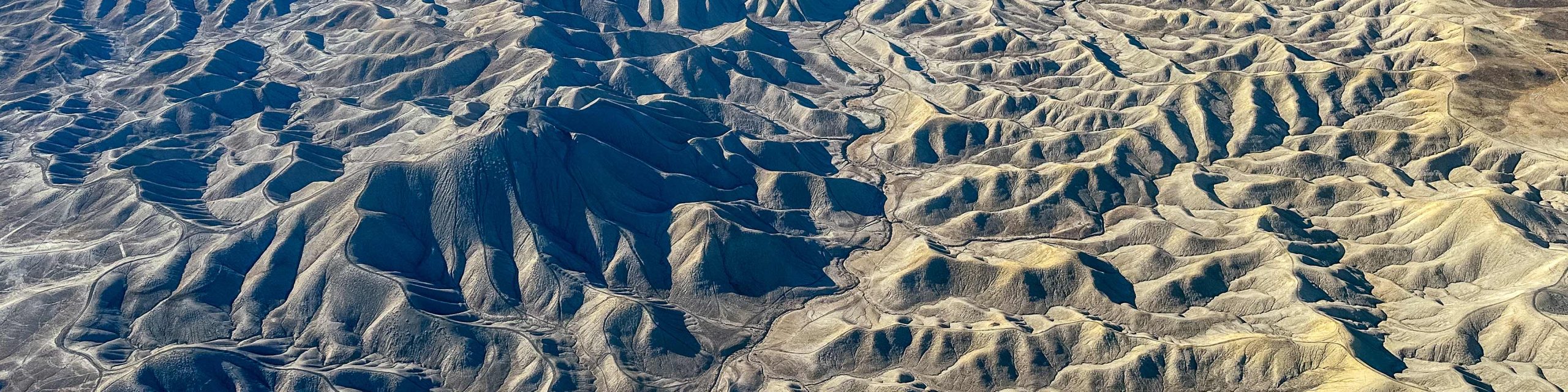
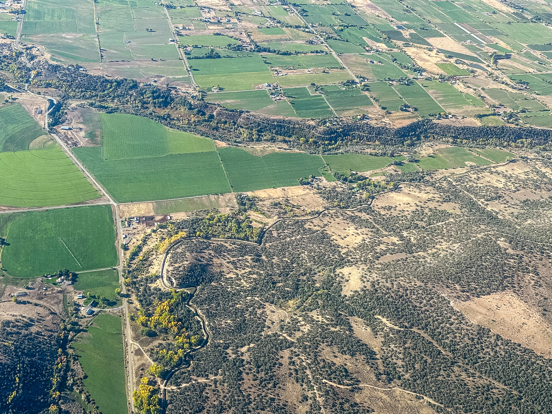
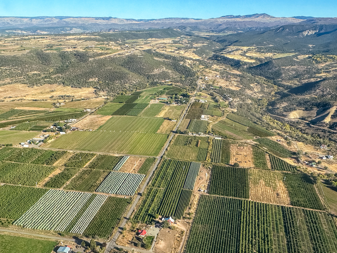
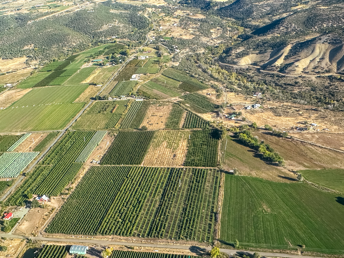
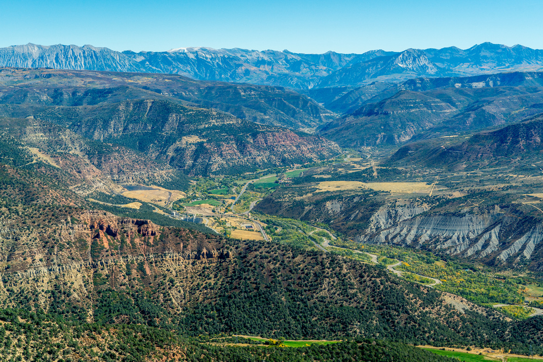
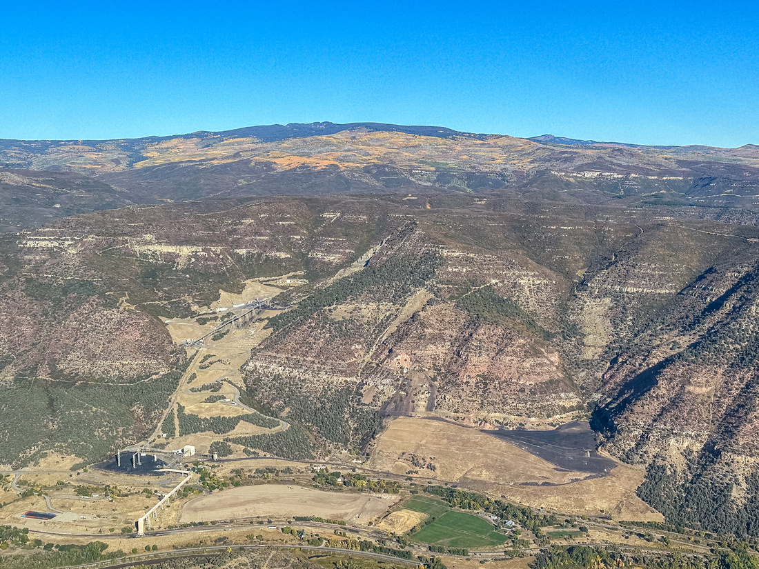
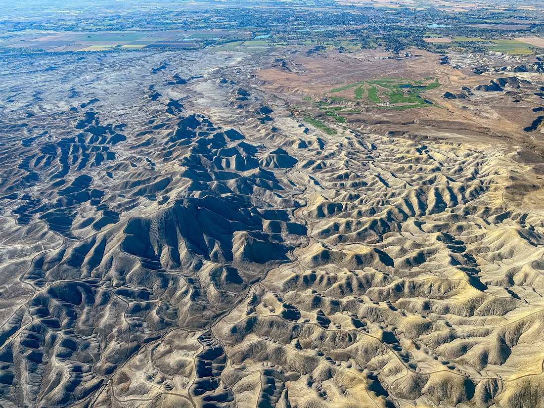
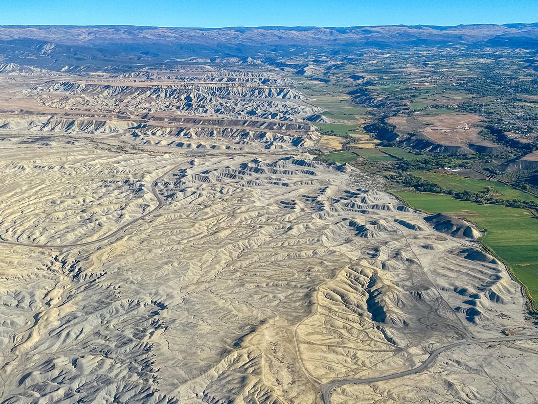
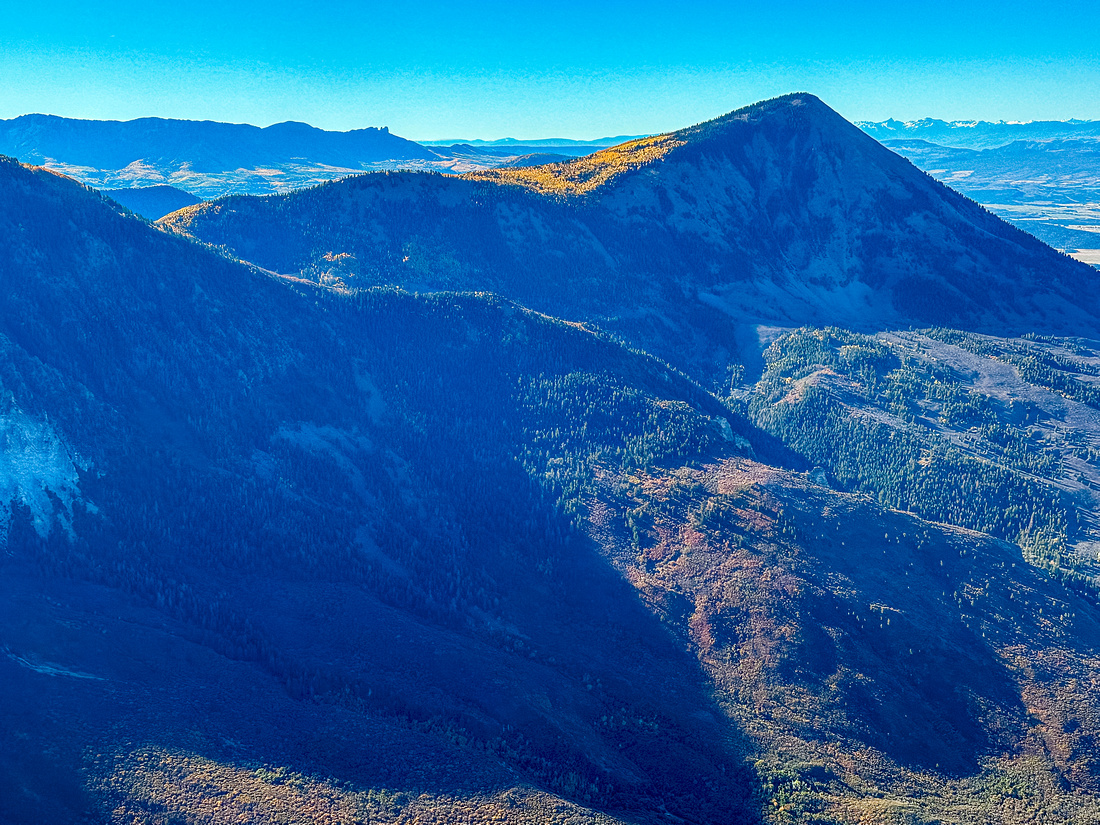
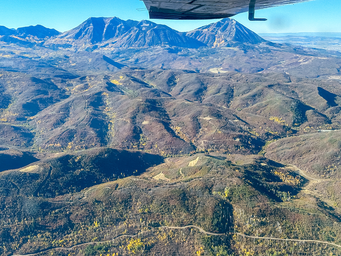
From the alpine to the desert, the Gunnison River Valley is a quiet, beautiful corner of Colorado’s high country.
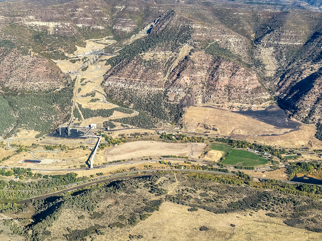
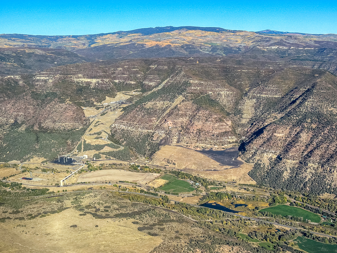
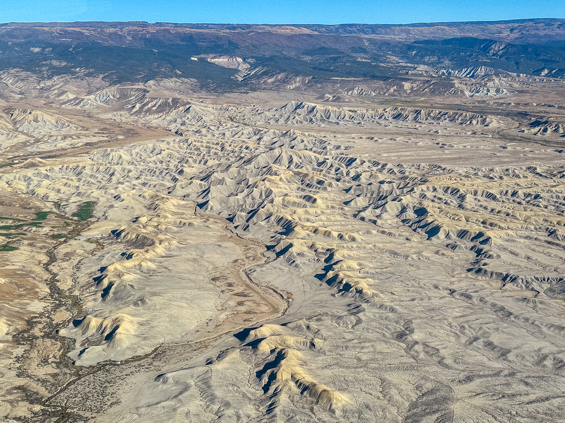
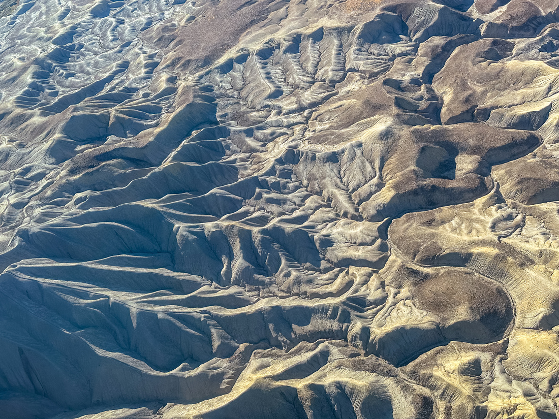
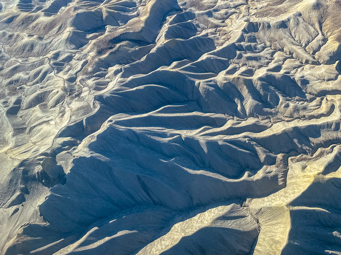
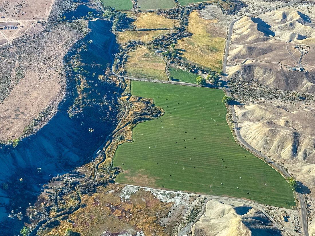
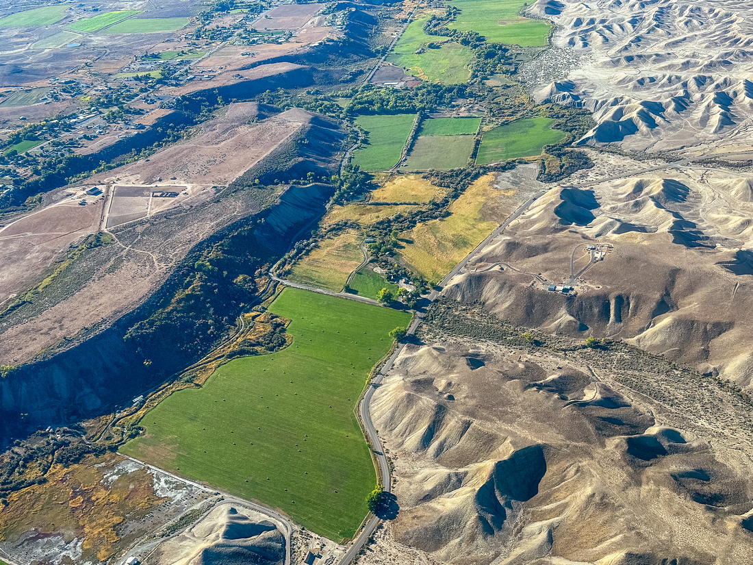
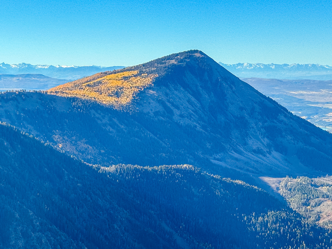
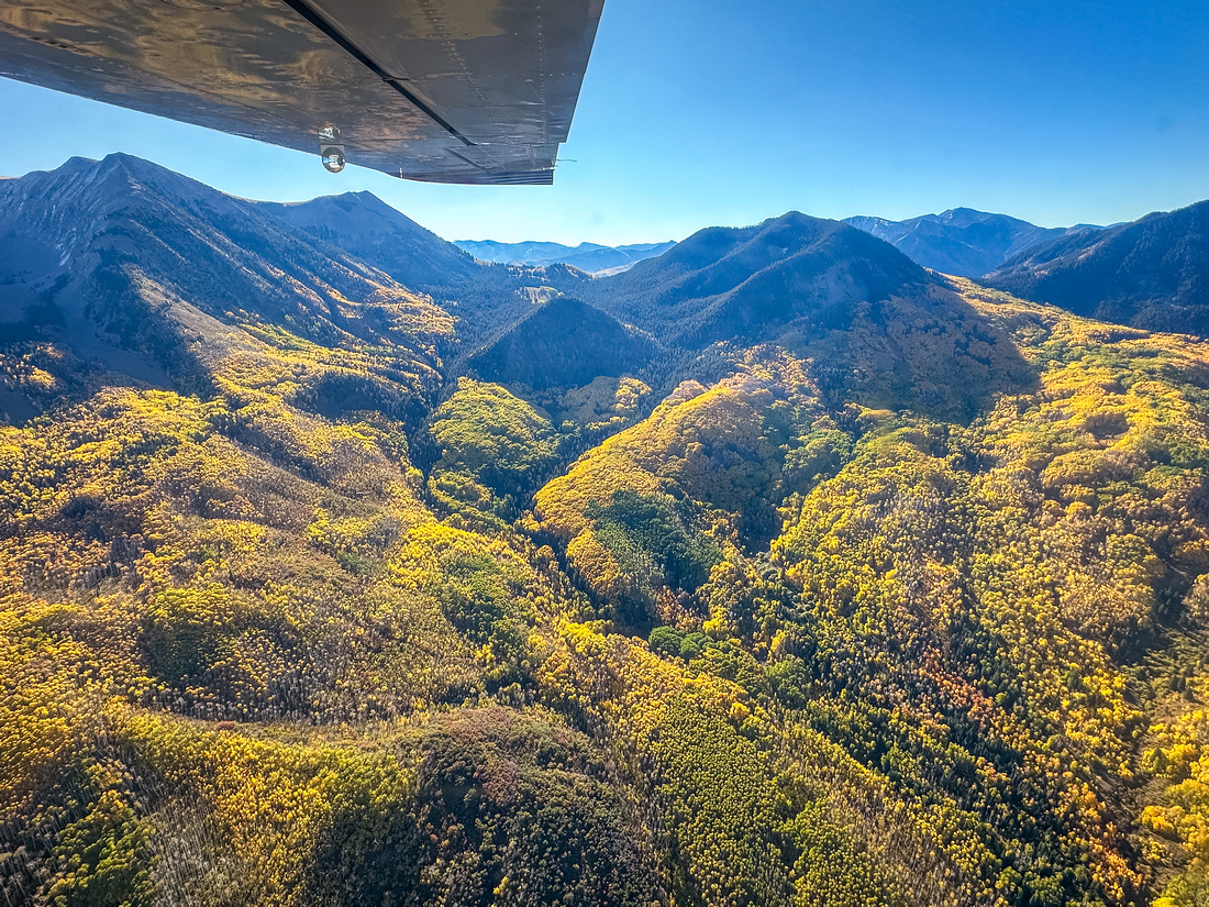
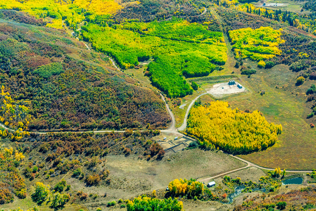
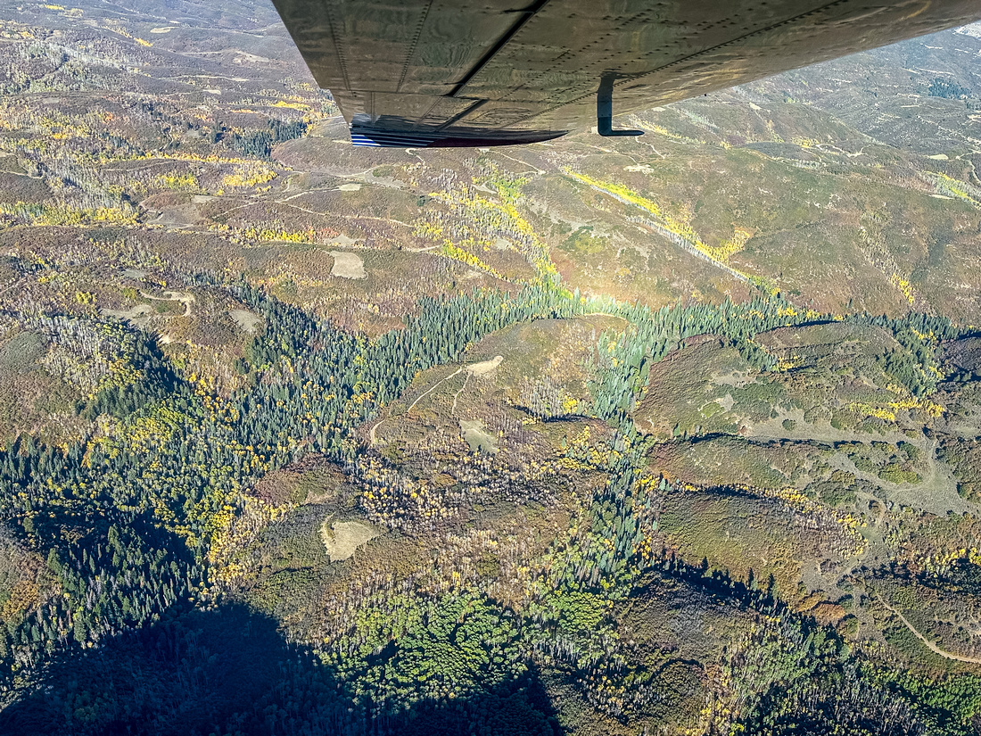
Our flight took us over the foothills of the iconic Mount Gunnison and the fertile North Fork Valley, home to organic farms and orchards that much of Western Colorado depends on. Flying West, from the air you can see the greenery fade as the land becomes more arid. The Adobe Badlands WSA and ACEC, popular among hikers and other recreationists, is an extraordinary desert landscape marked by other-worldly rock pinnacles like the Devil’s Thumb and deep erosion-carved ravines.
EcoFlight and the Conservation Lands Foundation are working hard to secure additional protections for sensitive landscapes like these and safeguard the spectacular wildlands and healthy rivers in Western Colorado and beyond.
Click for geo-referenced photos from the flight. This .kmz file is best viewed in Google Earth