High Divide Land Use Plans
Date: 06/03/2022
State: MT
Issues: Wild Lands, Wildlife
Partners: The Nature Conservancy, Theodore Roosevelt Conservation Partnership
Airport Origin : Dillon, MT
Mission
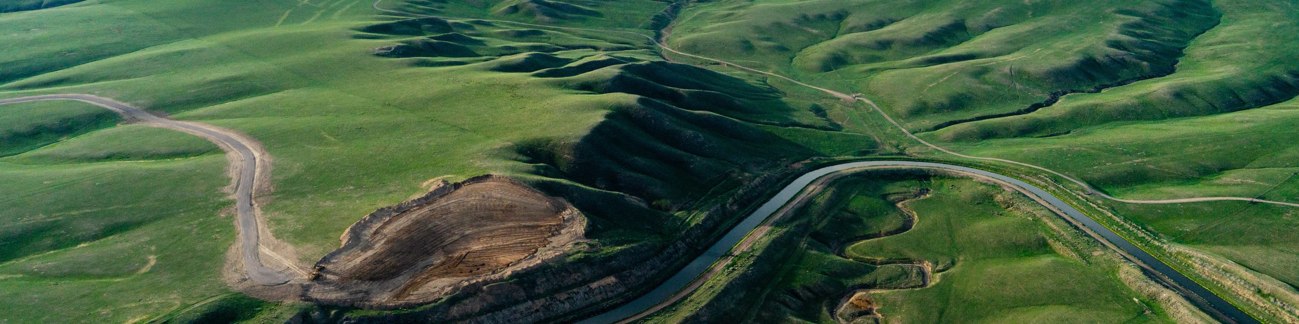
See the extent of migration routes throughout the High Divide area. The BLM is revising current land use plans and our partners are advocating for these new plans to include protections for critical migration routes.
The High Divide straddles the Idaho-Montana border. It is often referred to as the land in between" as it connects the adjacent landscapes of the Greater Yellowstone area and the Crown of the Continent. The overflight examined the BLM and Forest Service land that comprises the High Divide and provides habitat for species like mule deer, whitetail deer, elk, pronghorn antelope, moose, mountain goats, and bighorn sheep. The High Divide makes up twenty percent of Idaho's public lands and offers amazing recreation and hunting opportunities. Half of Idaho's mountain goat hunters and seventy-three percent of Idaho's Rocky Mountain bighorn hunters drew tags for the area.
The BLM and USFS are considering revising the High Divide area's land use plans. The BLM is currently reviewing its Resource Management Plans for 3.14 million acres of the area. It's critical that migration corridors be protected in these revisions. Pronghorn antelope migrate through the High Divide in winter, with migration routes spanning up to 80 miles. The Sand Creek Desert, a region of the High Divide, provides winter homes to more than 10,000 big game animals. The BLM and USFS should consider incorporating migration conservation into land use plan revisions. This is a critical opportunity to conserve big game migration routes, benefit the outdoor economy, and support hunting and recreation.
Flight Images
Zenfolio returned an error:
50014: There is no such photoset.