Lake Powell – Record Low Water Level
Date: 12/01/2021
State: UT
Issues: Climate, Watersheds
Mission
Capture aerial photos for the media and conservation groups to increase public awareness regarding the record low water level at Lake Powell.
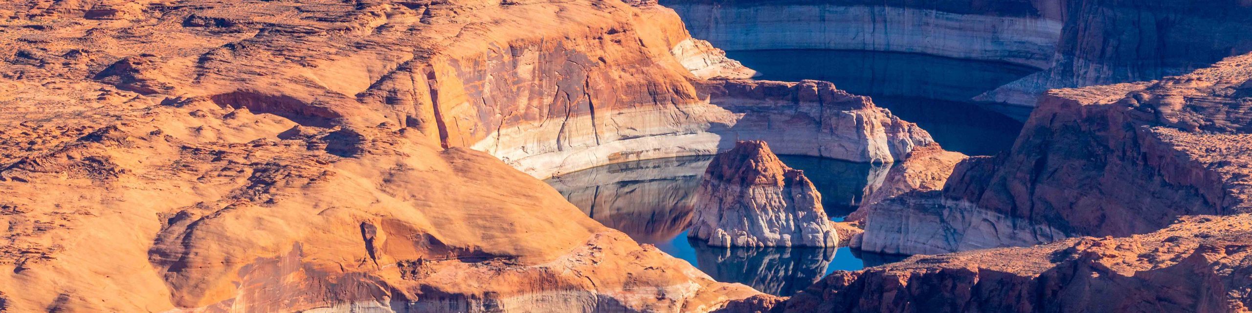
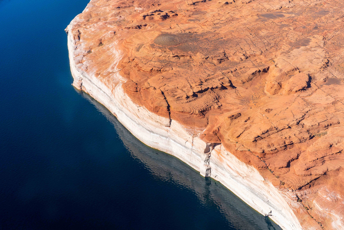
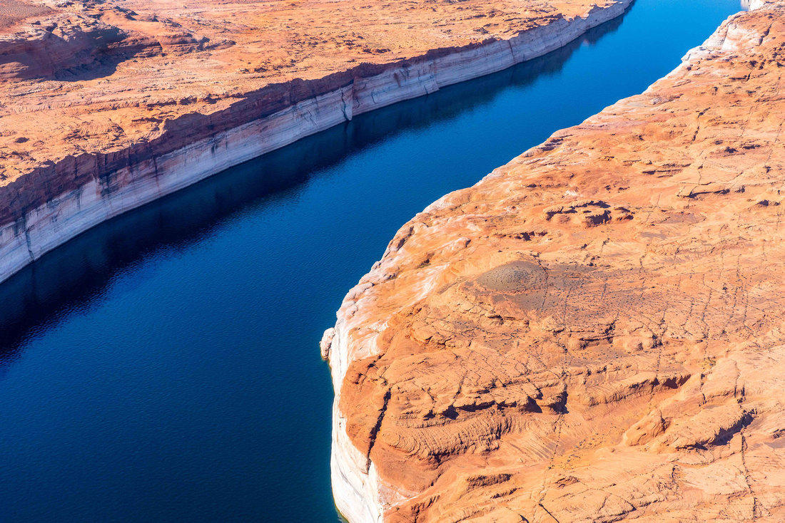
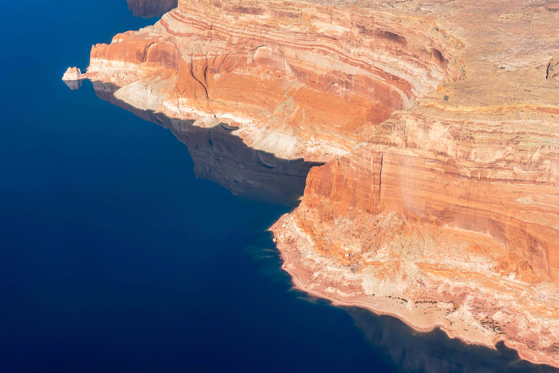
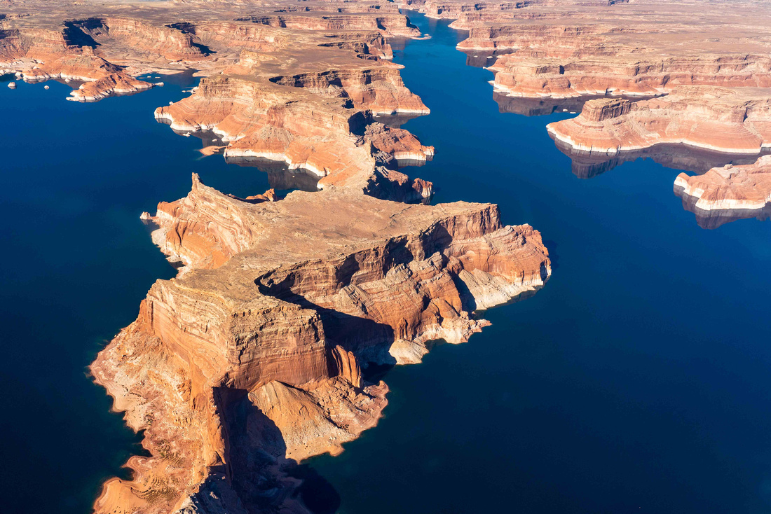
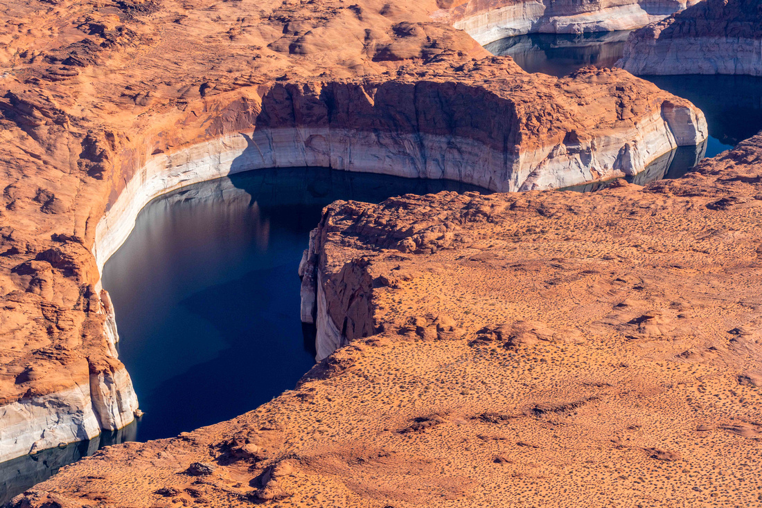
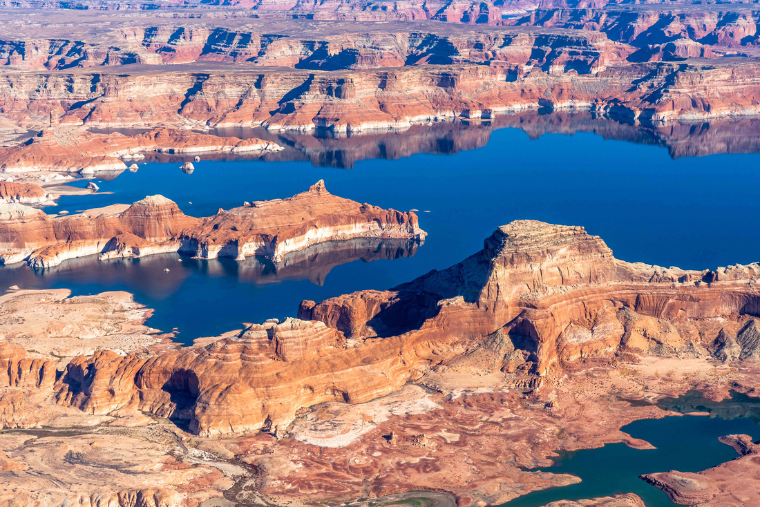
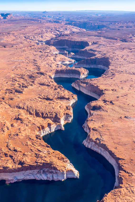
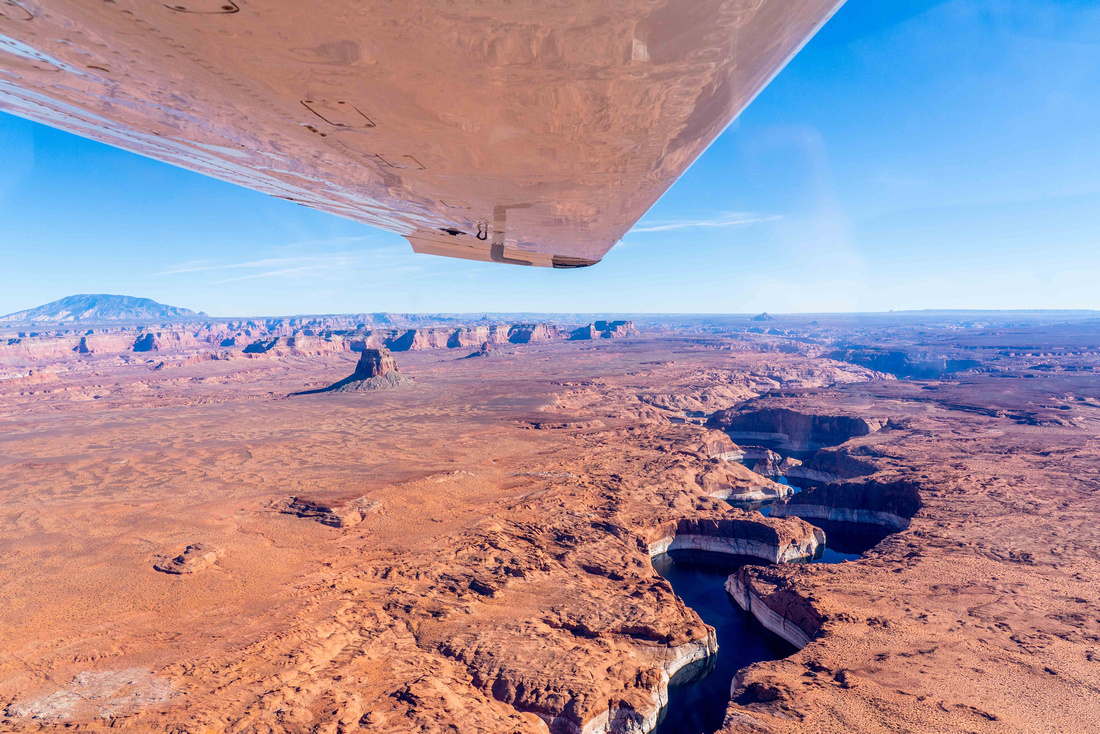
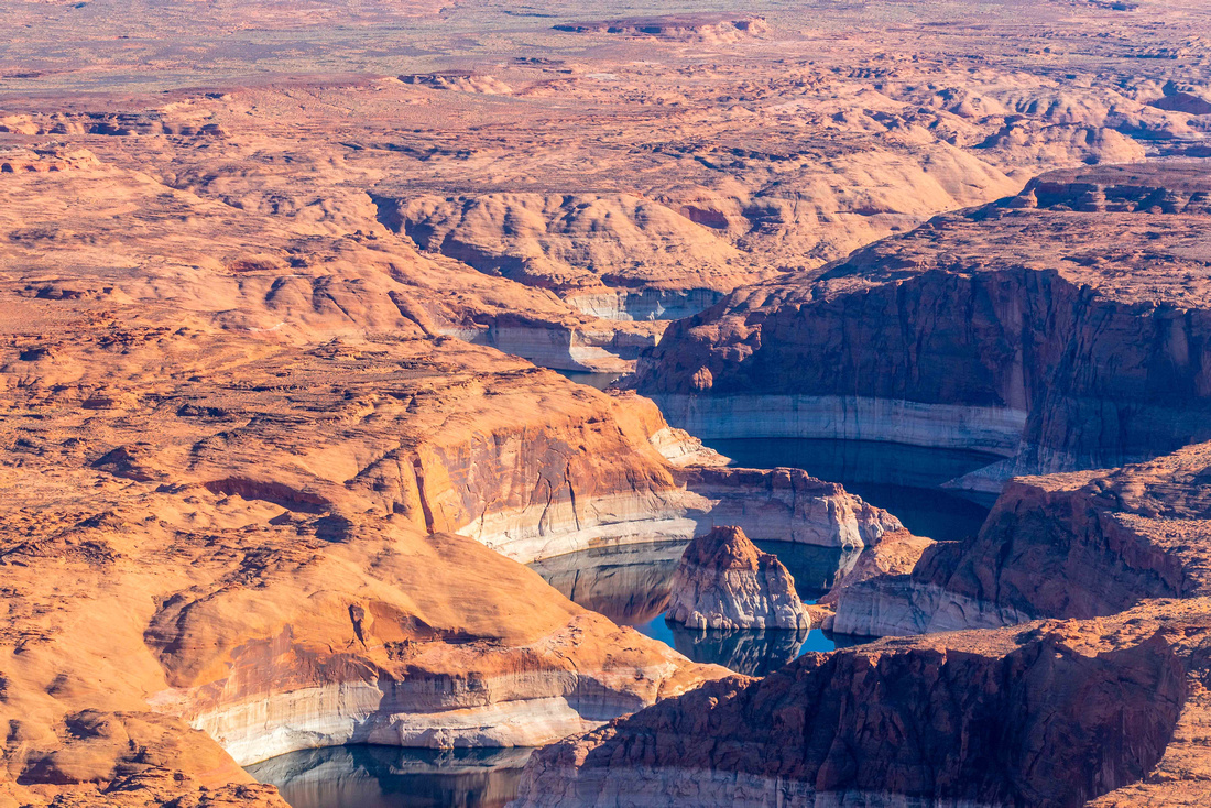
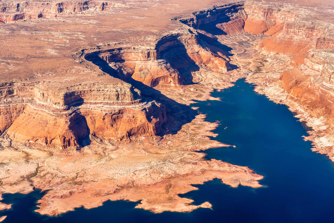
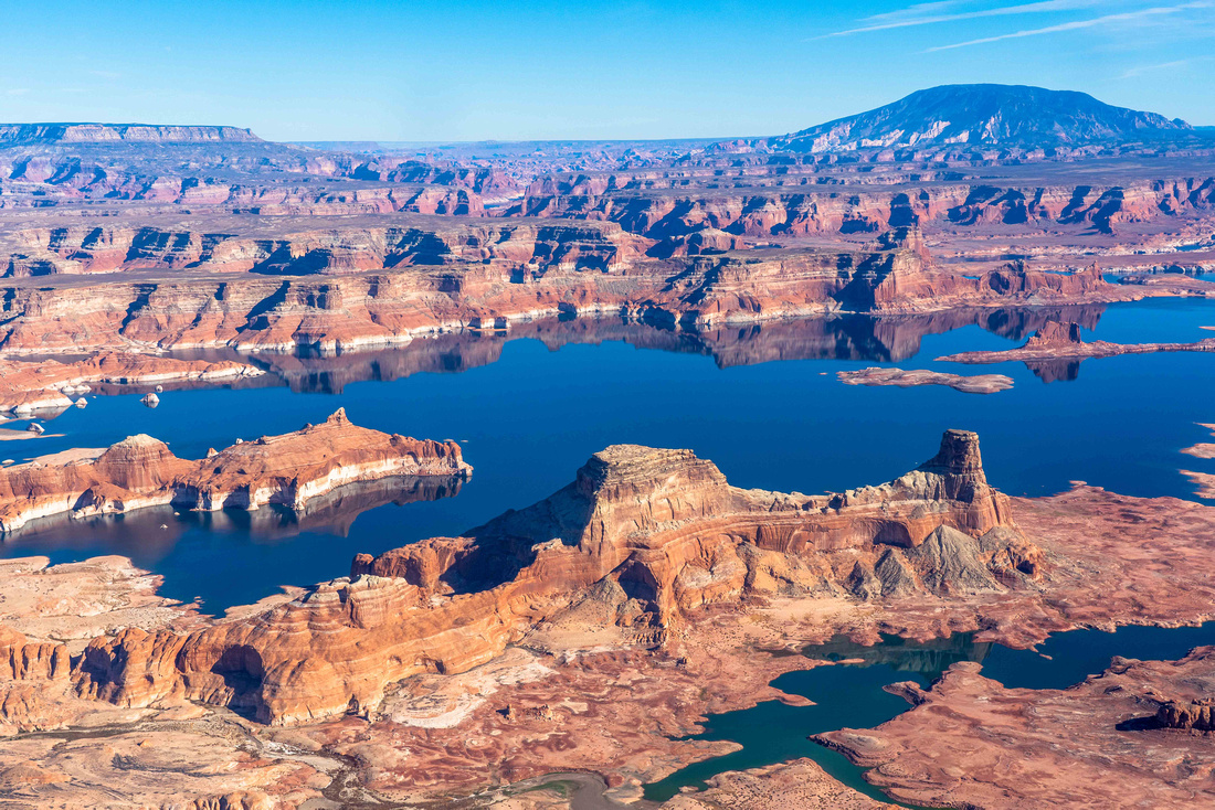
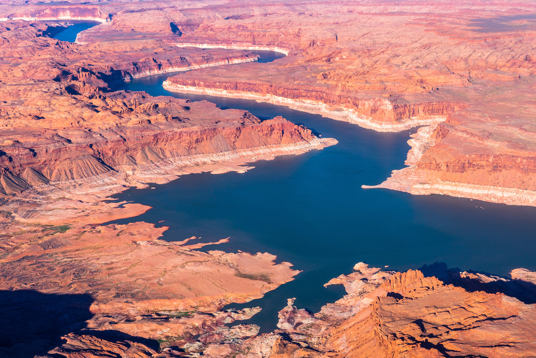
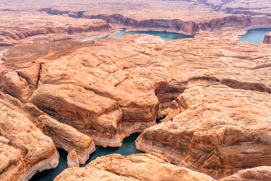
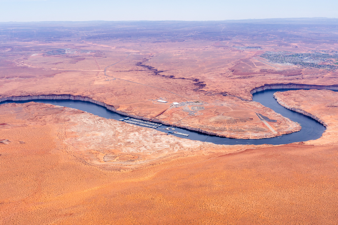
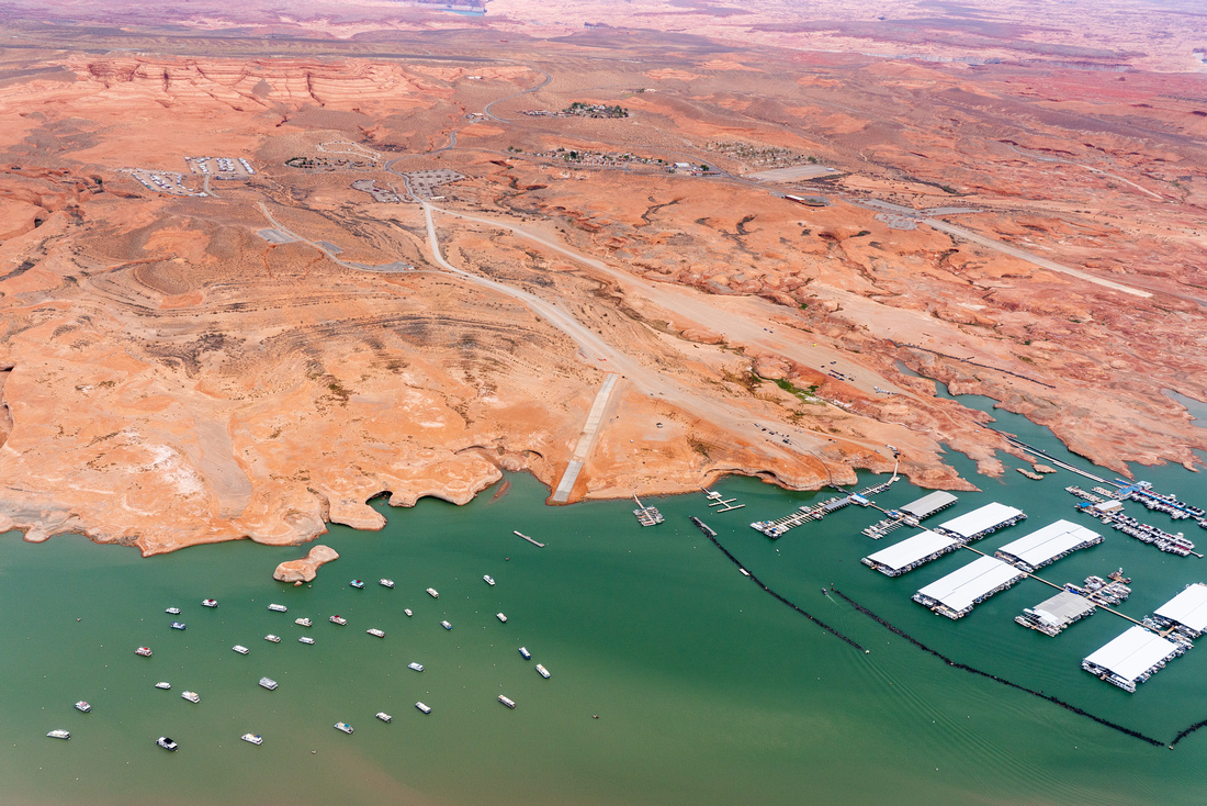
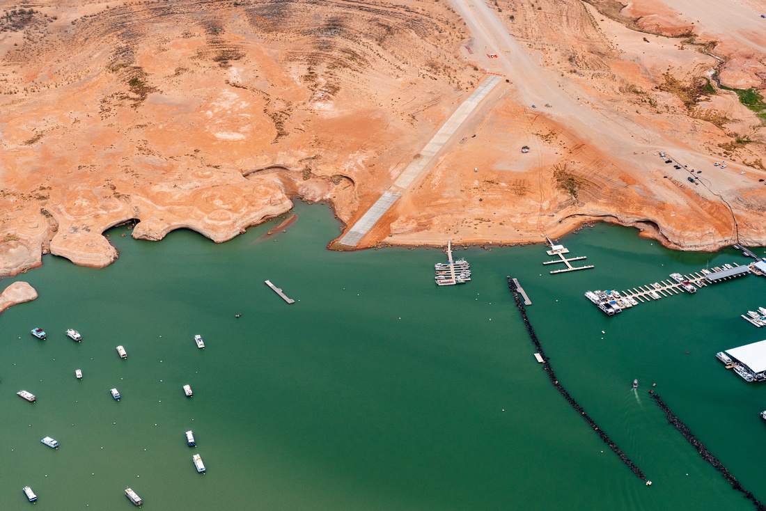
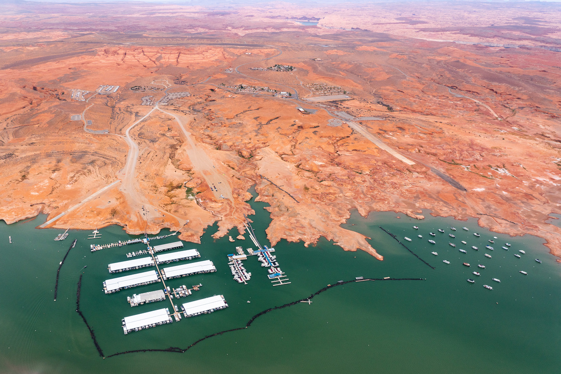
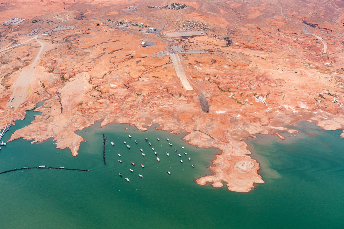
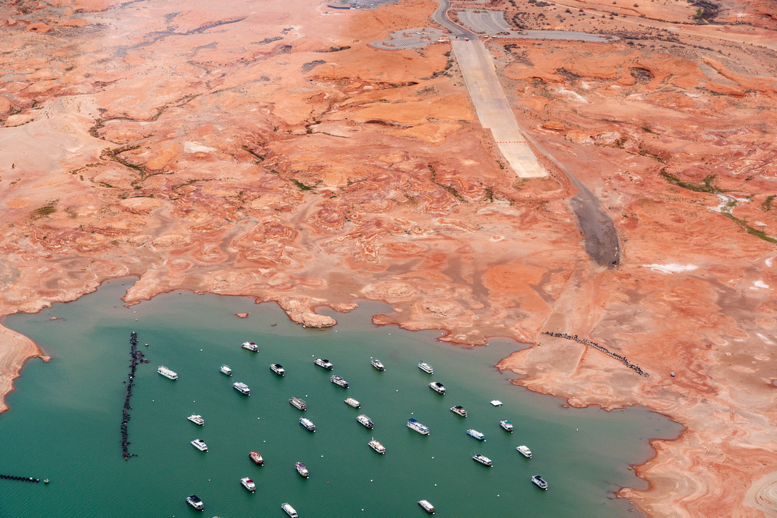
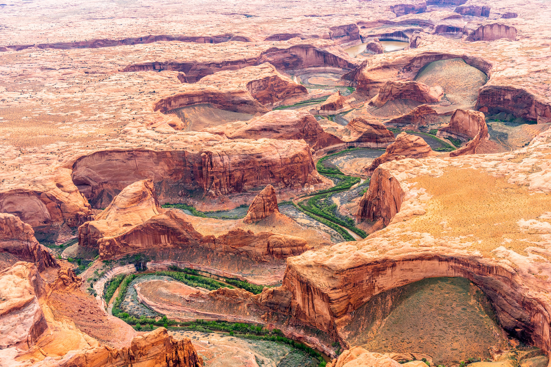
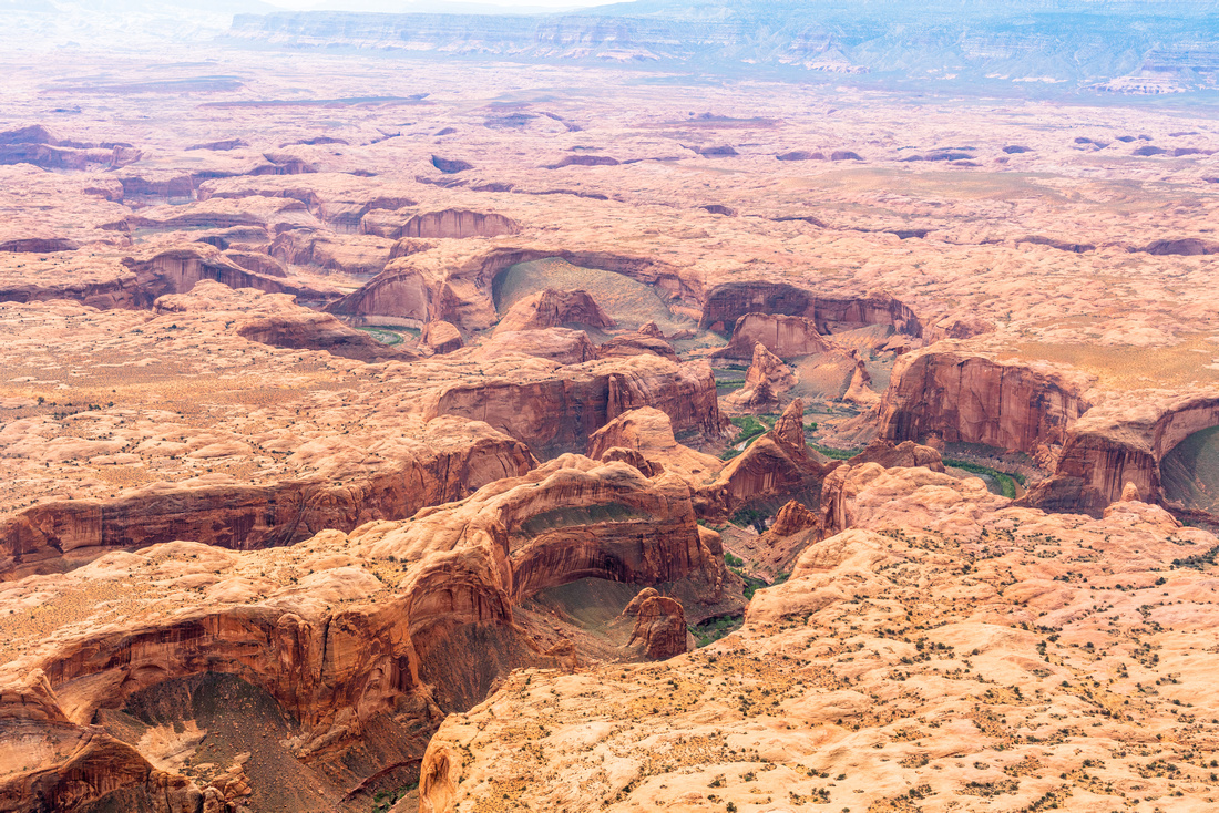
Powell is less than 25% full; the lowest it's been since the Glen Canyon dam was constructed, filling the lake. On March 15, 2022, Lake Powell, located on the Utah-Arizona border, fell below the minimum target level of 3,525 feet above sea level.
The minimum target level provides a 35 foot buffer of water before the Glen Canyon Dam can no longer operate. Without an immediate solution power generation, which supplies electricity to over 3 million people and generates $150 million for the federal government, will likely be disrupted. The speed of spring snowmelt, primarily from Colorado's Rocky Mountains, will determine if the lake reaches a low that prohibits dam operations.
Lake Powell's summer recreation has been greatly affected. Many businesses are unsure if they will be able to open and others will have to shorten their operating season.
Compare the current water levels (pictured below) to that of 2020:
https://ecoflight.zenfolio.com/p544135379
Or click the above link and use the search bar in the upper right to look for "Lake Powell" photos.