Last Gap in the Continental Divide Trail
Date: 08/23/2024
State: CO
Issue: Wild Lands
Partner: Continental Divide Coalition
Airport Origin : Steamboat Springs, CO
Mission
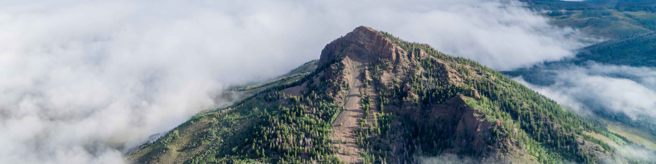
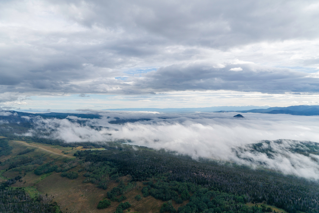
Lend the aerial perspective to this collaborative process and give stakeholders the big-picture view of this beautiful and rugged section of the Continental Divide Trail and the last remaining trail gap in the state of Colorado.
Muddy Pass is a high mountain pass in Routt and Jackson Counties that straddles the Continental Divide. It’s located between the Park Range to the north and Rabbit Ears Range to the east.
Spanning Canada to Mexico, the Continental Divide Trail passes through five states and is mostly remote single-track trails on public lands. After years of work from our partners at Continental Divide Trail Coalition, there is only one remaining section in the state of Colorado where the dirt trail ends and the ‘trail’ is actually on a motorized road. The 14 mile gap in the Continental Divide Trail, called Muddy Pass Gap, follows the highway and is dangerous for hikers and motorists alike. The Continental Divide Trail Coalition is working with a diverse group of stakeholders and landowners to reroute the trail off the highway. Trail routing is a complex task that involves consideration of wildlife habitat, property lines, and the physical landscape, and it requires a great deal of collaboration between stakeholders, landowners, and land managers.
Click for photos from the flights, aerial GoPro footage, and geo-referenced photos (download and open in Google Earth).
Related News