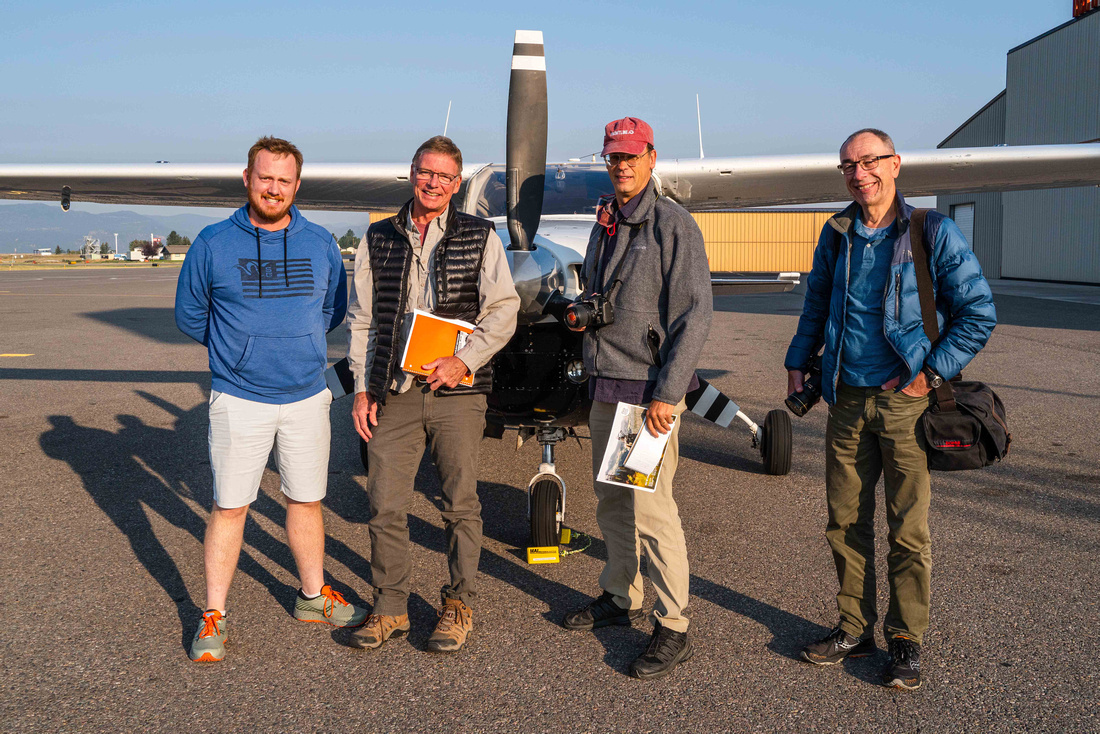
Fly media and the Theodore Roosevelt Conservation Partnership to educate on the Lolo and Bitterroot National Forest's lack of comprehensive management. Provide photos and videos to publicize the issue and increase community involvement.
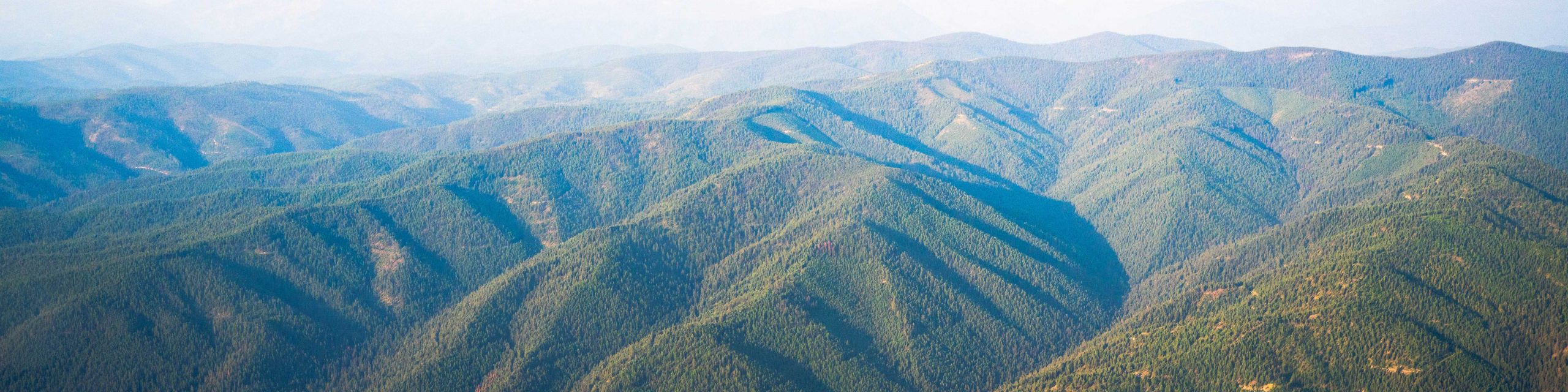
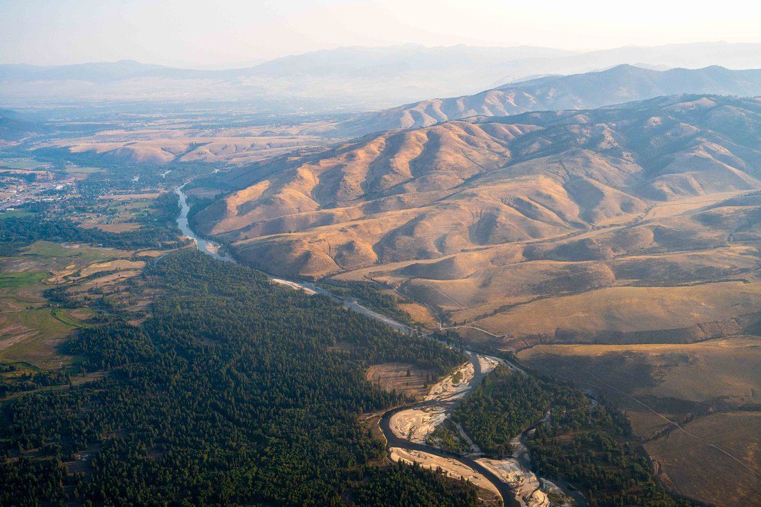
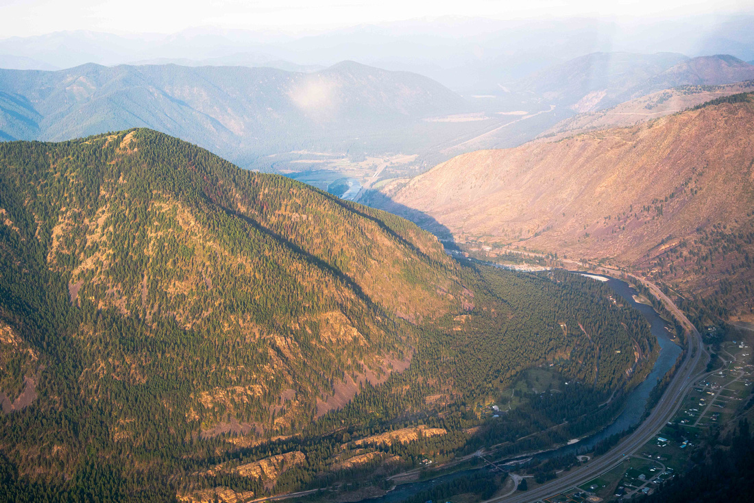
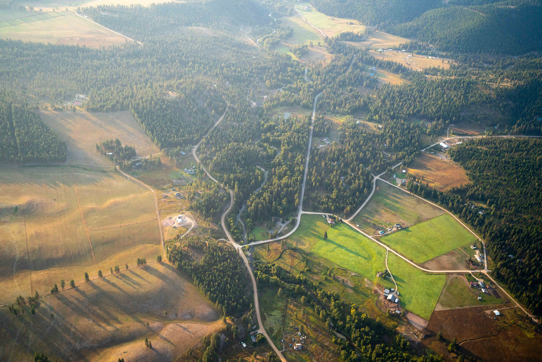
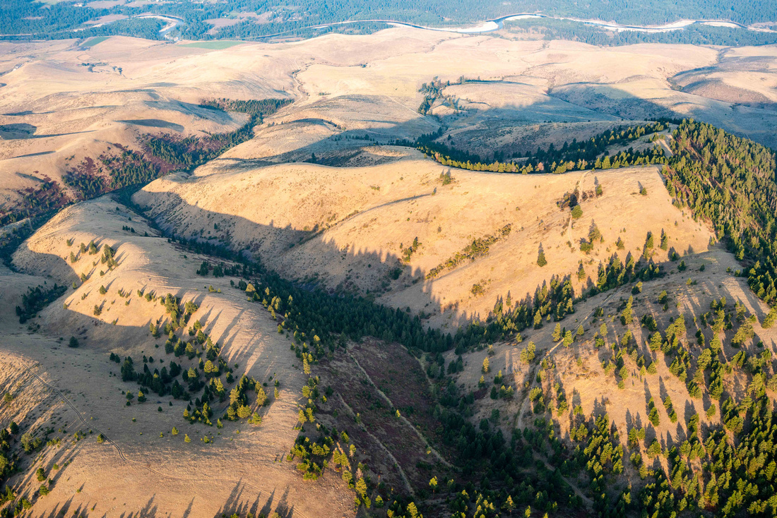
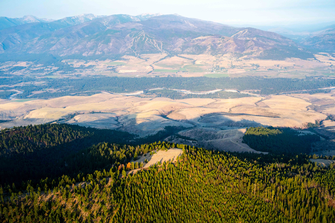
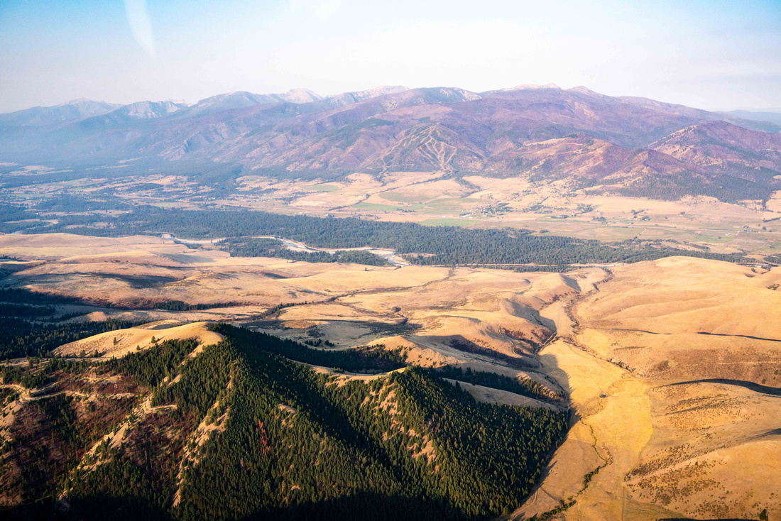
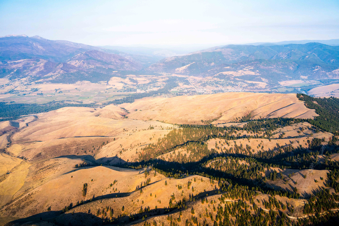
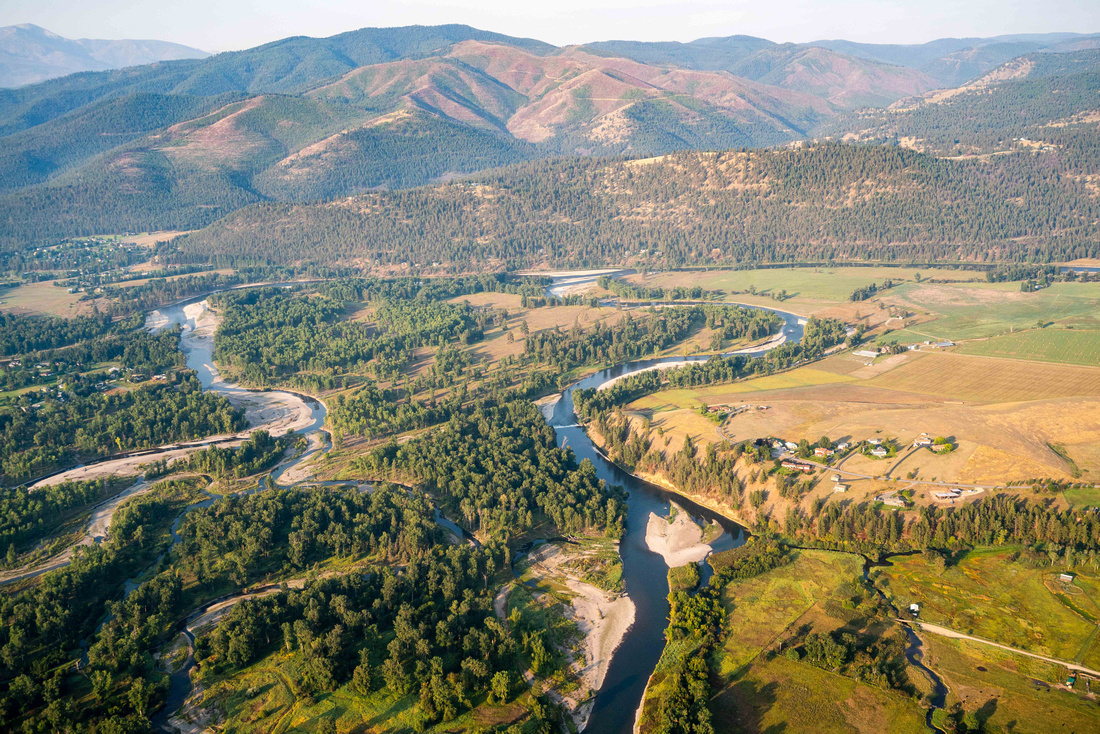
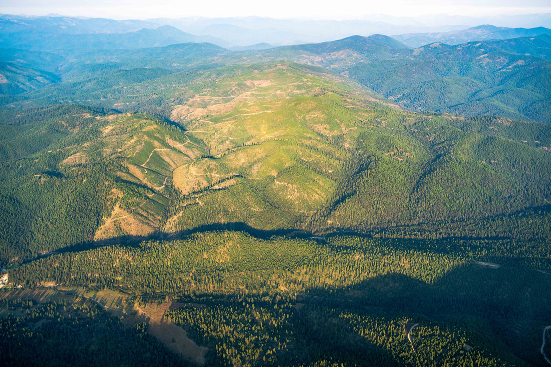
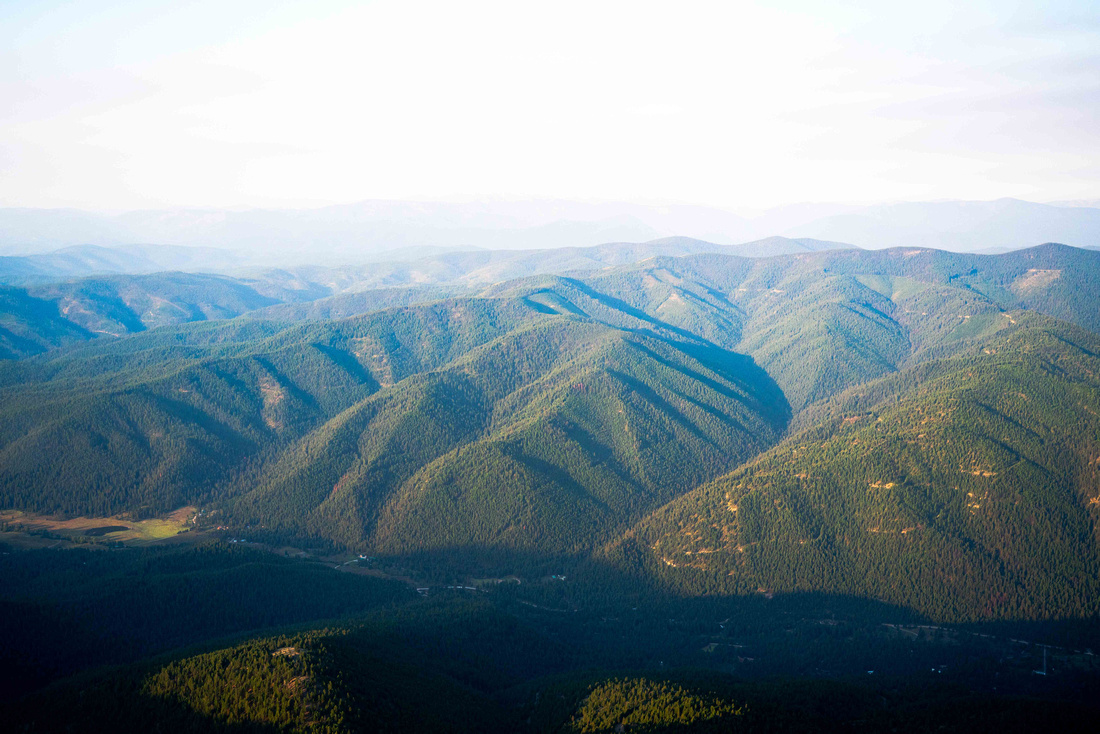
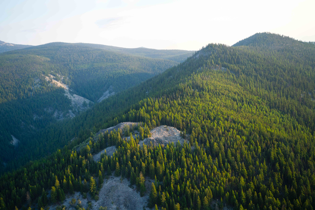
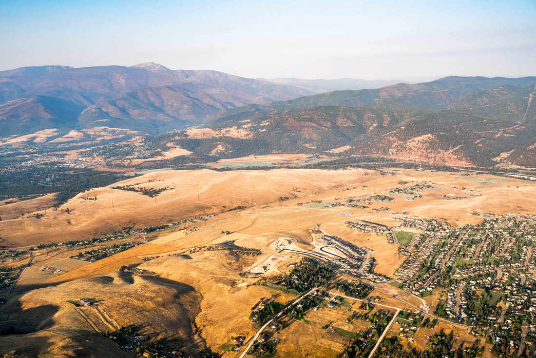
Spanning approximately 3.5 million acres, the Lolo and Bitterroot National Forests provide wildlife habitat, cold water fisheries, recreational opportunities, and jobs for thousands of Montanans.
The U.S. Forest Service manages these forests under outdated and insufficient models. The current land-use plans don't take into account the rising population in the surrounding area or the increase in knowledge of wildlife migration patterns. Faced with heightened challenges due to climate change and the growing presence of invasive species; as well as the sky-rocketing recreational demand, the Lolo and Bitterroot National Forests are in dire need of updated land-use plans.
Recreationalists, hunters, and conservationists alike recognize the importance of revising the Lolo and Bitterroot National Forest land-use plans. The U.S. Forest Service needs to recognize this pressing need and provide the funding to ensure these lands are properly managed.