Mission
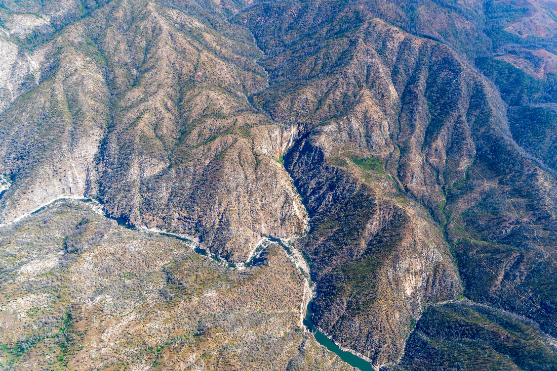
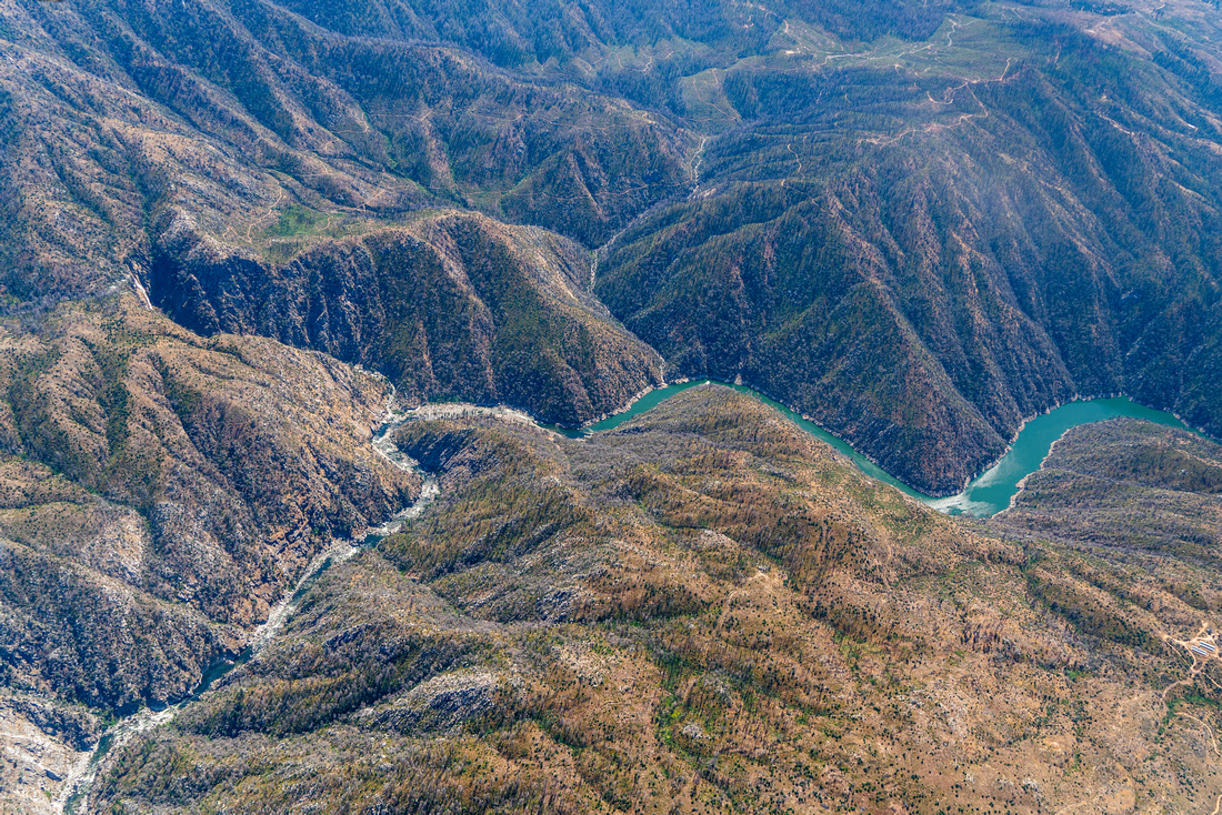
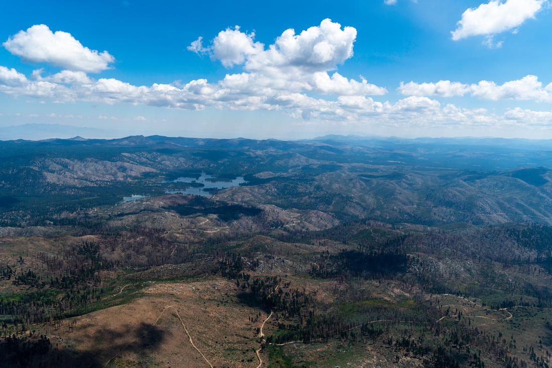
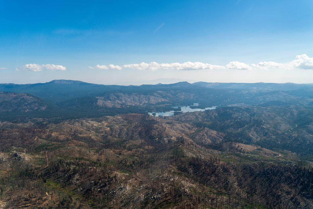
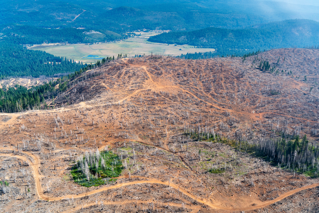
Provide local and regional conservation and Tribal partners an aerial view of the damage to the Upper Feather River Watershed wrought by the Dixie Fire (2021) and North Complex Fire (2020) to highlight the urgent need for collaboration on restoration and stewardship projects that increase the resilience of the watershed.
On August 23rd, 2023 Friends of Plumas Wilderness and partners from CalWild, Feather River Resource Conservation District, Enterprise Rancheria, Greenville Rancheria, Mooretown Rancheria, Sierra Institute for Community and Environment, and Sierra Nevada Alliance were privileged to have the opportunity to take part in four flights traversing three flight paths over the Feather River Watershed, viewing and documenting the aftermath of the most catastrophic fires in California history.
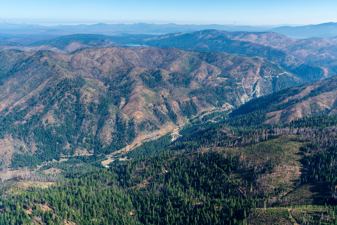
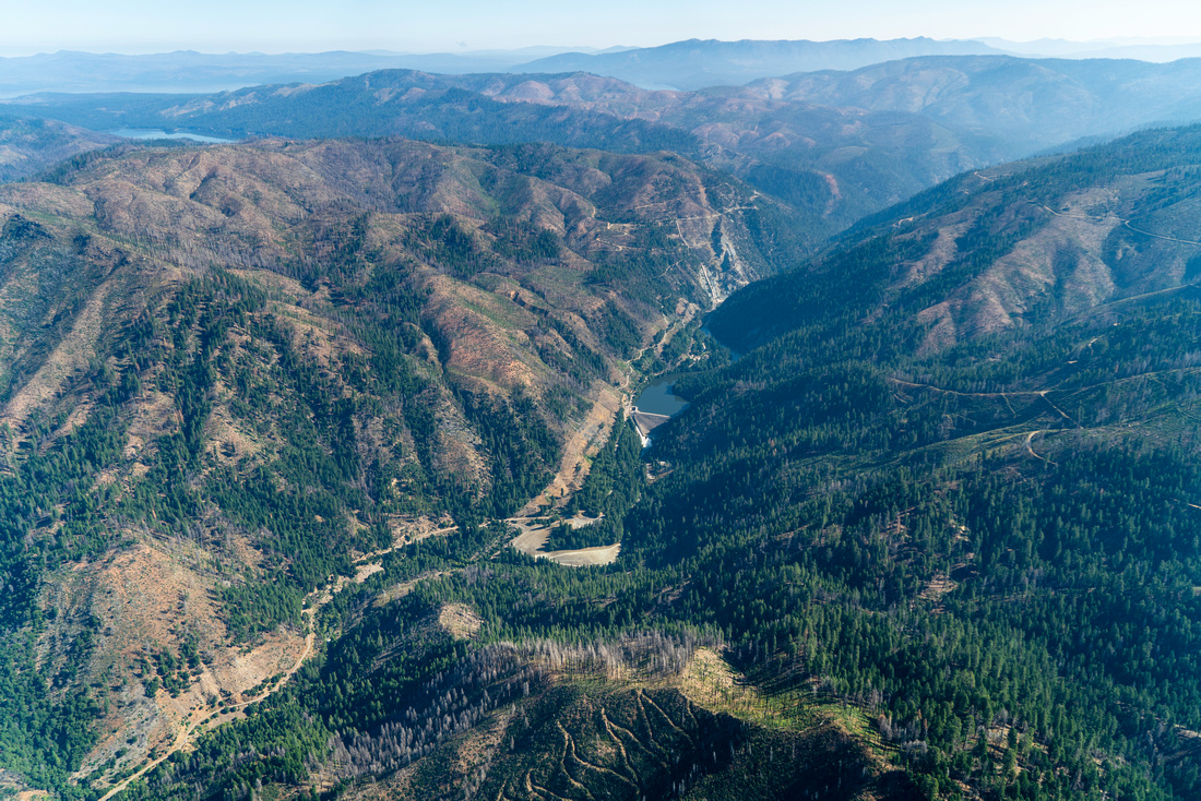
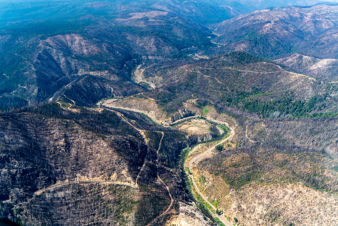
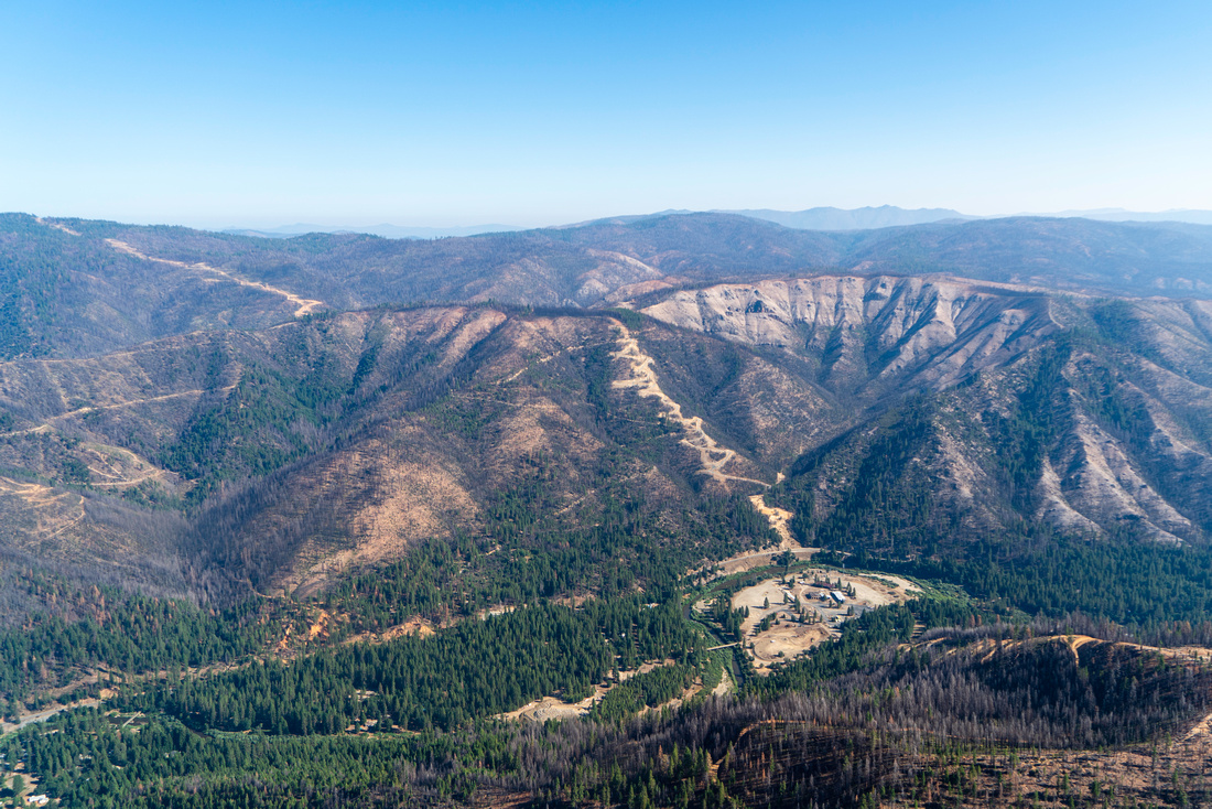
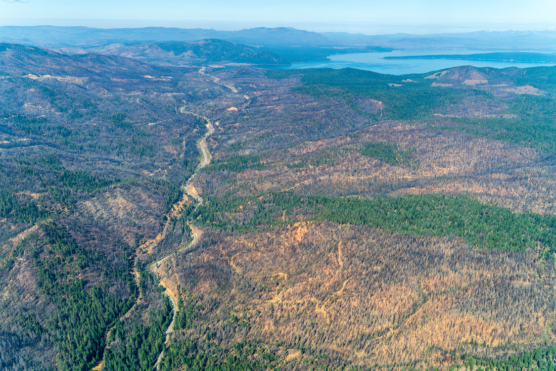
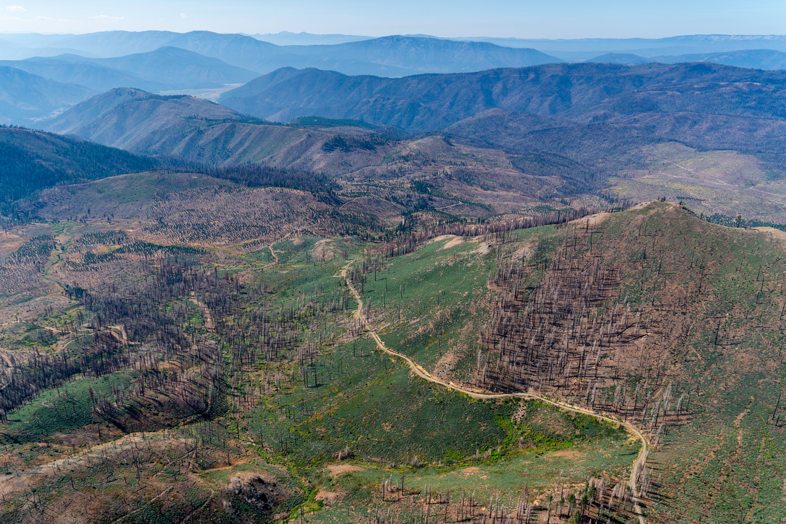
Damage to the landscape is not limited to flames alone; emergency mitigation and post- fire salvage efforts have left bulldozer scars and networks of logging roads on an already fragmented landscape; further exacerbating the effect on the biodiversity of this critical region and putting the long-term health of the watershed at further risk.
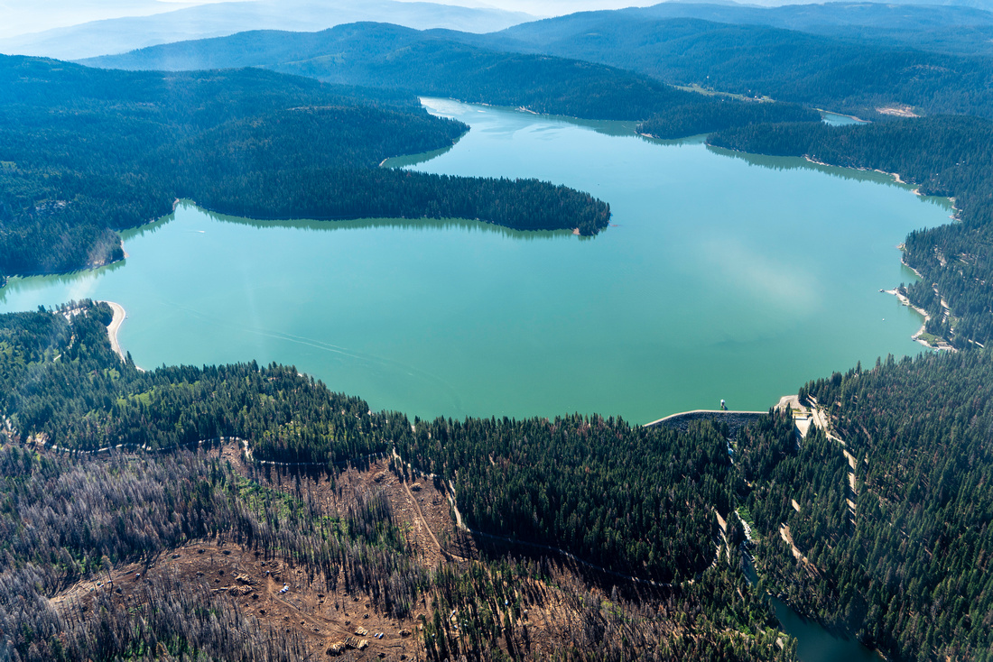
Our first flight prioritized the Bucks Lake Wilderness and North Fork Feather River Canyon, allowing participants the opportunity to view nine Eligible Wild & Scenic rivers, alongside the existing Bucks Lake Wilderness, Mount Pleasant Research Natural Area, Butterfly Valley and Fales Basin Special Interest Areas.
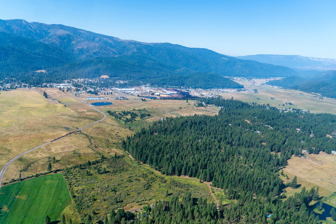
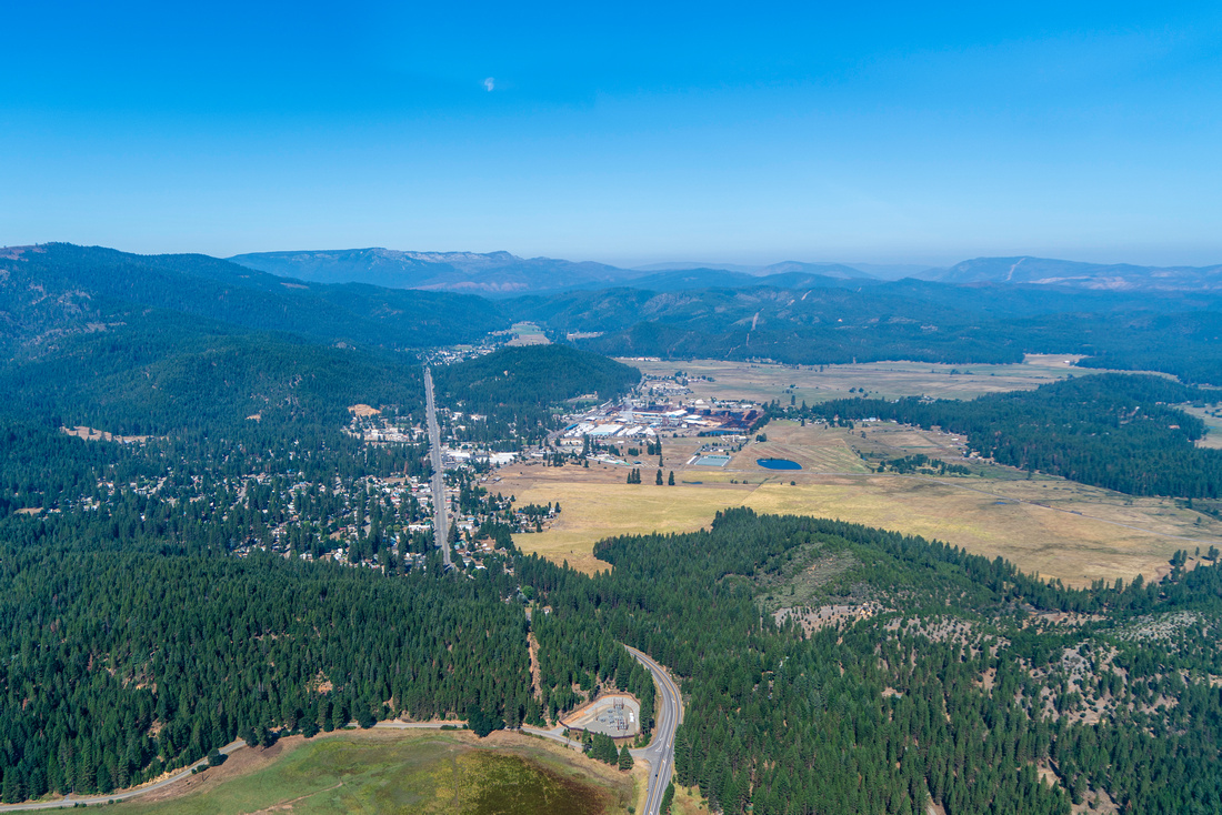
The second and fourth flight flew northwest out of American Valley over Grizzly Ridge Inventoried Roadless Area and Brady’s Camp proposed Special Interest Area towards Genesee Valley, following Indian Creek north while passing Wheeler Peak and Mud Lake Research Natural Areas. The flight then continued over Keddie Ridge Inventoried Roadless Area and the burned town of Greenville, before following Highway 89 to Highway 70 and flying past Butterfly Valley Botanical Special Interest Area before returning to American Valley.
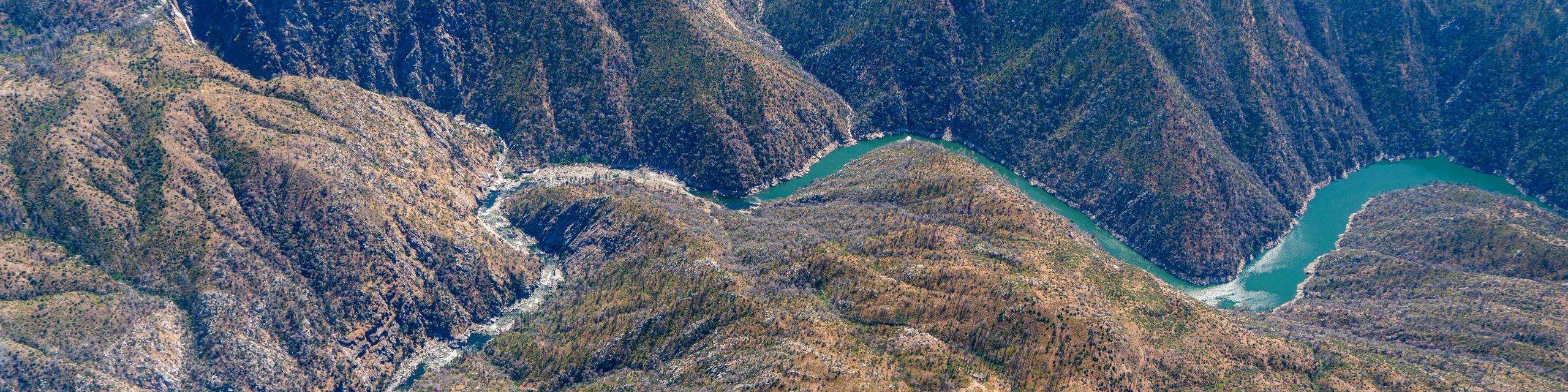
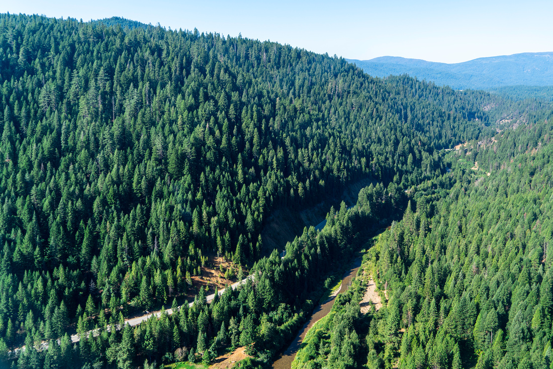
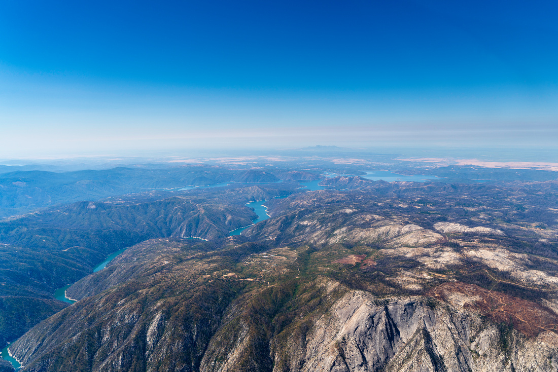
The third flight path circumnavigated the Middle Fork Feather River, one of the original rivers designated as Wild & Scenic in 1968. Participants flew over seven eligible Wild & Scenic Rivers, five proposed Special Interest Areas, and the stunning Feather Falls Special Interest Area.
Following the flights participants expressed a range of emotions and perspectives of what they had seen:
“I was overwhelmed by the enormity of the landscape. It put into perspective the idea of a "landscape level" project; what would that mean and how could that even be accomplished? I acknowledge that the push to "increase pace and scale" and promote "landscape level restoration" is needed, but I struggle to see the reality of doing anything about it on the ground. If anything, it drives home the need for more people and groups tackling localized issues.”
- Michael Hall, District Manager, Feather River Resource Conservation District
“The main thought I still have is being hopeful for the future. I fully expected to cry when I looked upon the burn scar in the Middle Fork Canyon. I’m not minimizing what I viewed, as it was horrific but, there’s areas where I feel that we had a pretty good visualization of some key locations that we can use as a "starting point" for ecosystems restoration and resilience or more specifically areas where there was a survival rate that I didn't anticipate.”
- Debie Rassmussen, EPA Director, Enterprise Rancheria, Estom Yumeka Maidu
“It was nice to see the green within all the burn, but for how long? The mosaic of roads in the burn areas was striking. Were all those roads there before the burn? From the sky it was amazing to see the vastness of land the ancestors stewarded for millennia. I wonder how they would feel if they could see what has happened to their homeland…”
- Les Hall, Mountain Maidu, Friends of Plumas Wilderness Board of Directors
Friends of Plumas Wilderness is committed to the restoration of the region and will continue to bring diverse community members and organizations to the table to discuss, monitor, and research the needs of this watershed and beyond. In addition to post-fire recovery, the Upper Feather River Watershed is in need of additional protections to limit the possibility of future large-scale extractive industry further degrading the landscape. We are looking forward to finding areas of alignment that result in practical and substantive protection of the landscape.
Click for geo-referenced flight photos. This .kmz file is best viewed in Google Earth