Red Desert Proposed Areas of Critical Environmental Concern
Date: 08/26/2023
State: WY
Issues: Mining, Oil and Gas, Wild Lands
Partners: Greater Yellowstone Coalition, Northern Arapaho Tribe, Wyoming Outdoor Council
Airport Origin : Lander, WY
Mission
Provide a means for Northern Arapaho elders and leaders to connect with their homelands, many of who cannot travel on foot into the depths of these remote landscapes, and educate on the current proposals to further protect the sacred Red Desert landscape. Inform the BLM's recently released Draft Rock Springs Resource Management Plan.
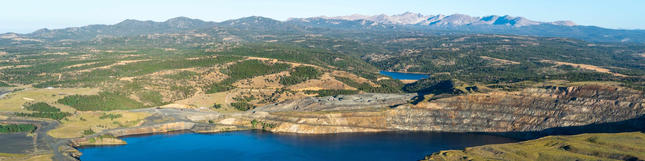
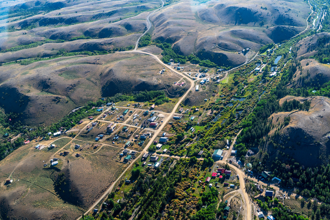
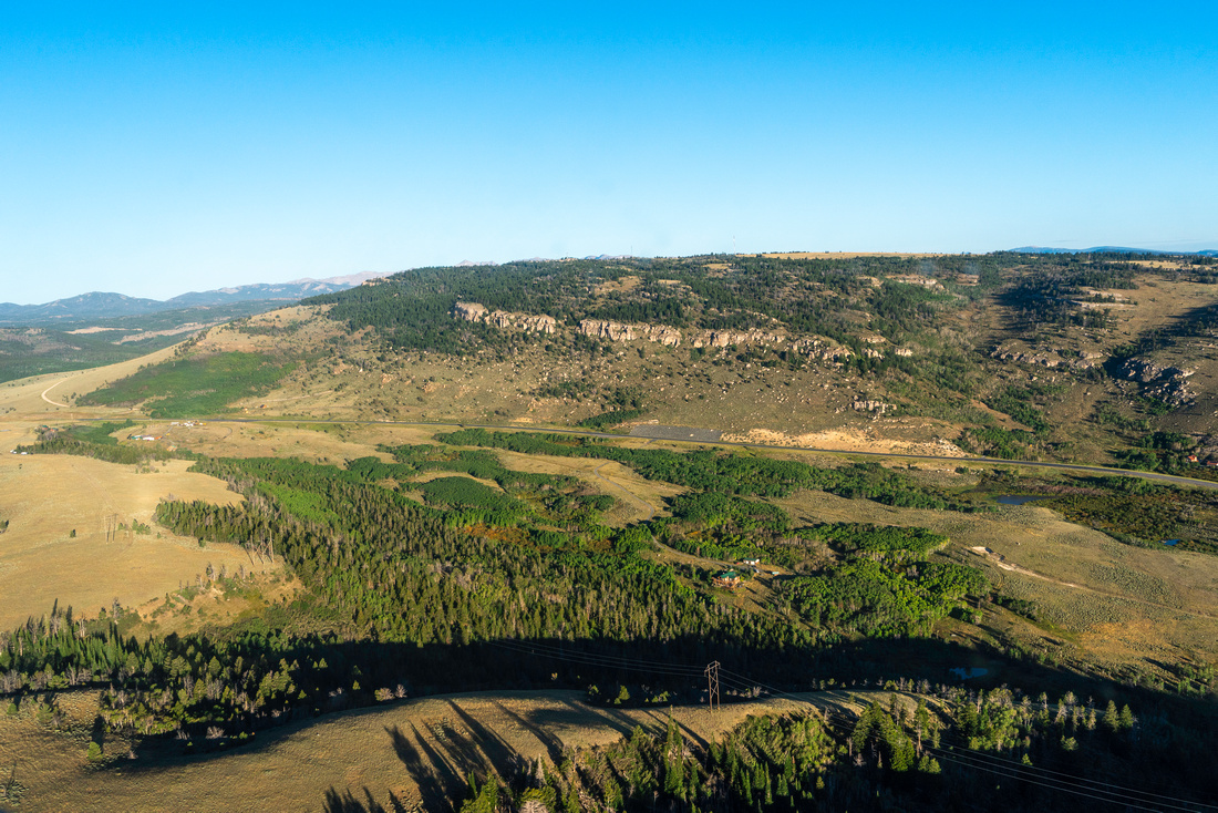
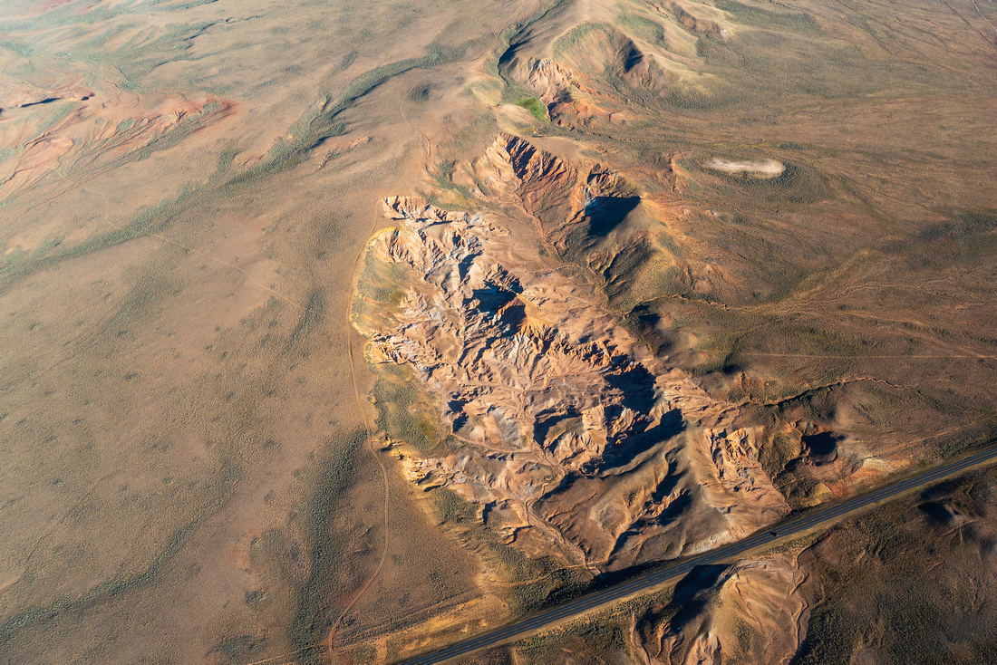
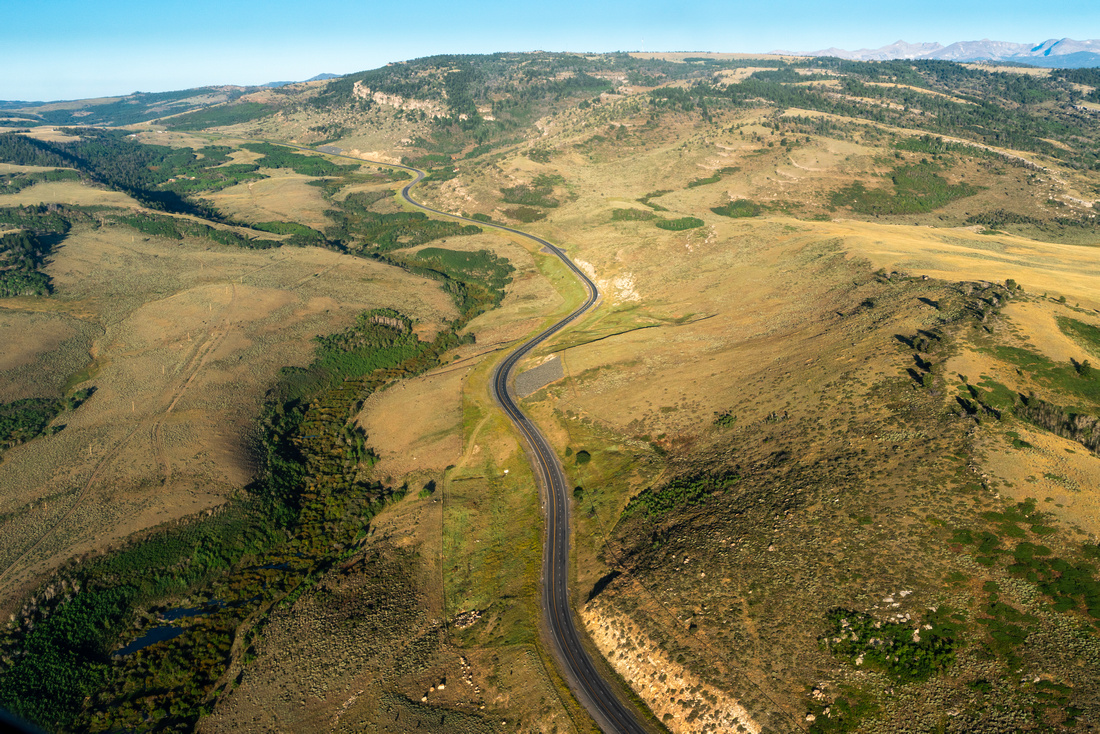
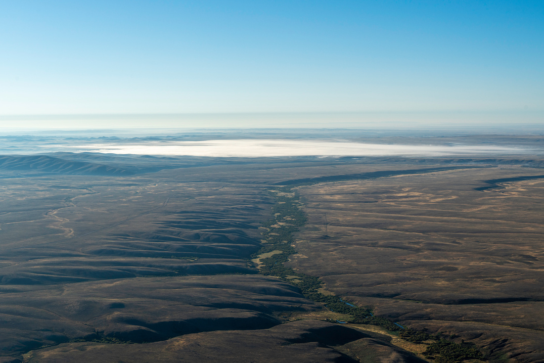
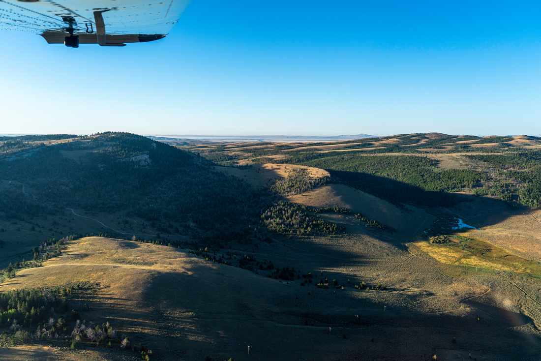
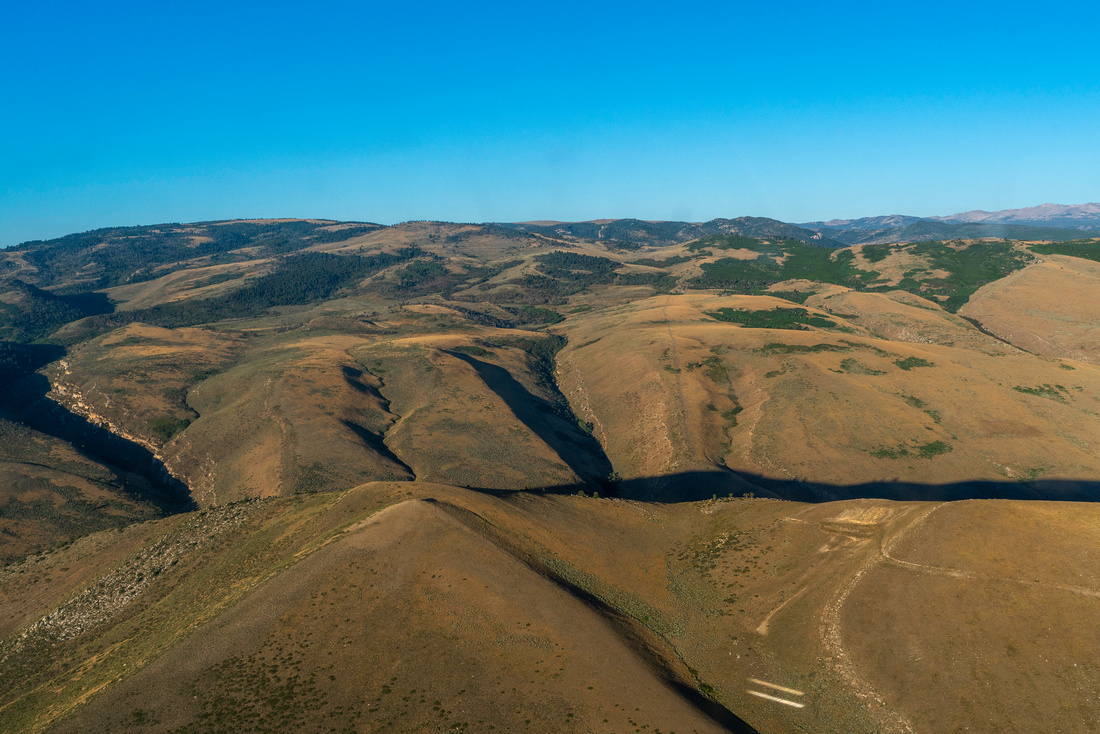
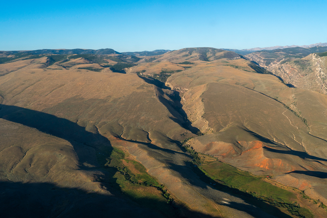
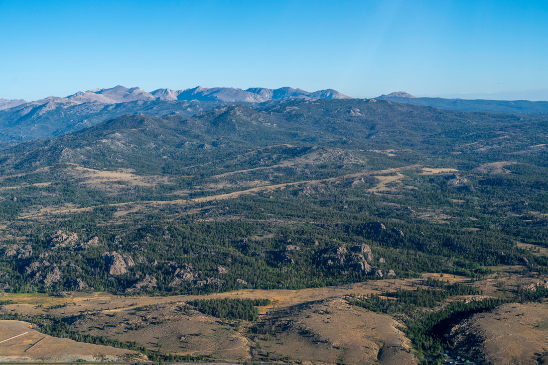
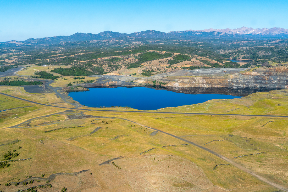
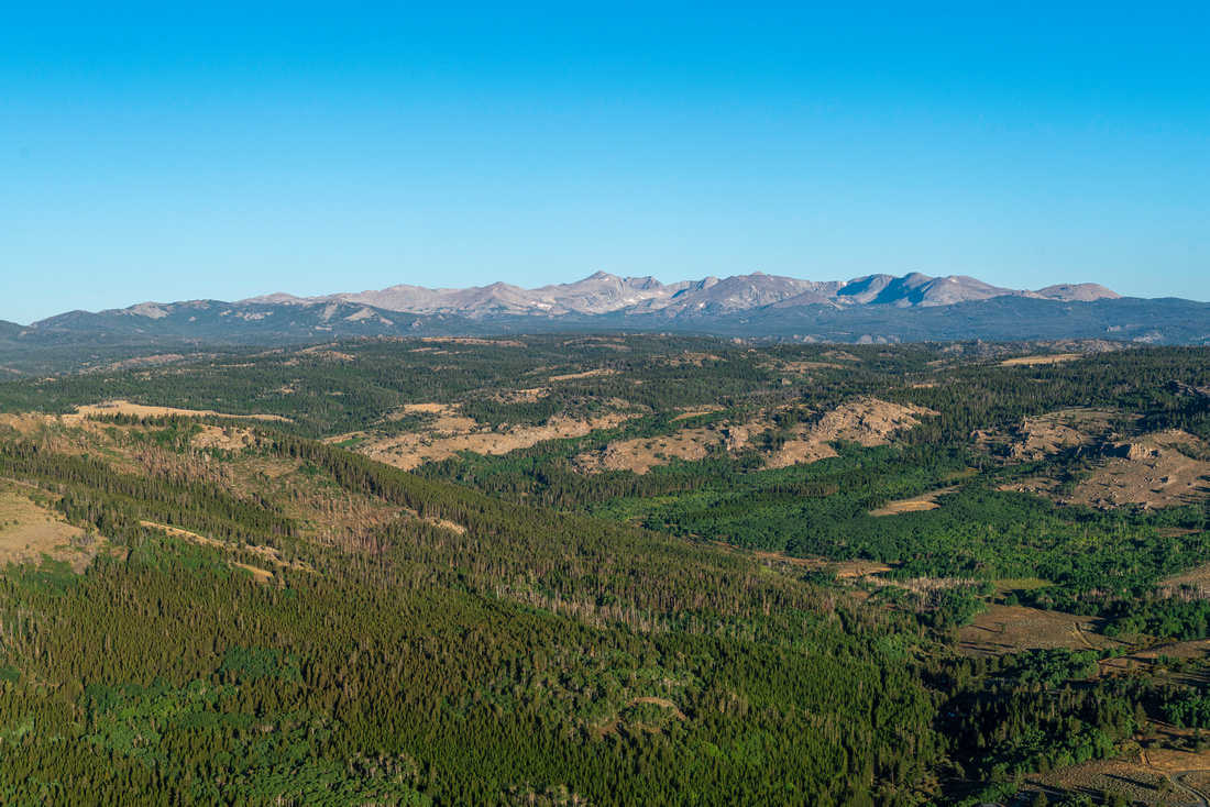
Wyoming's Red Desert is a remarkable landscape that spans the Great Divide Basin, and includes some of the most rare and sacred desert landscapes in the state. Vast sections of these lands—administered by the Bureau of Land Management—are remote and relatively undisturbed ecosystems that support countless species of all sizes. Sage-grouse, coyotes, mule deer, pronghorn, free-roaming horses, golden eagles, a rare desert elk herd, and peregrine falcons all make their home in the Red Desert.
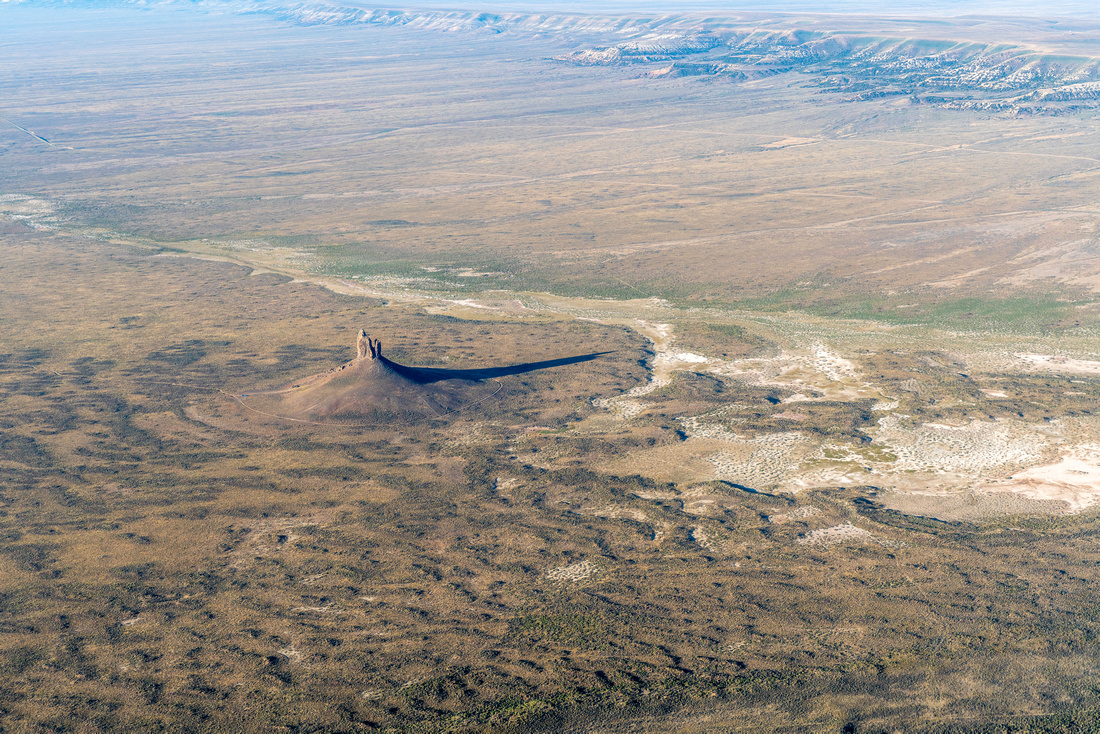
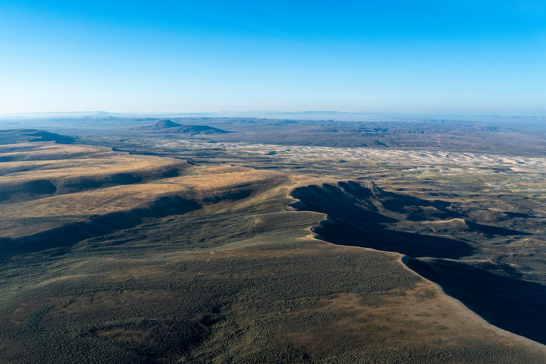
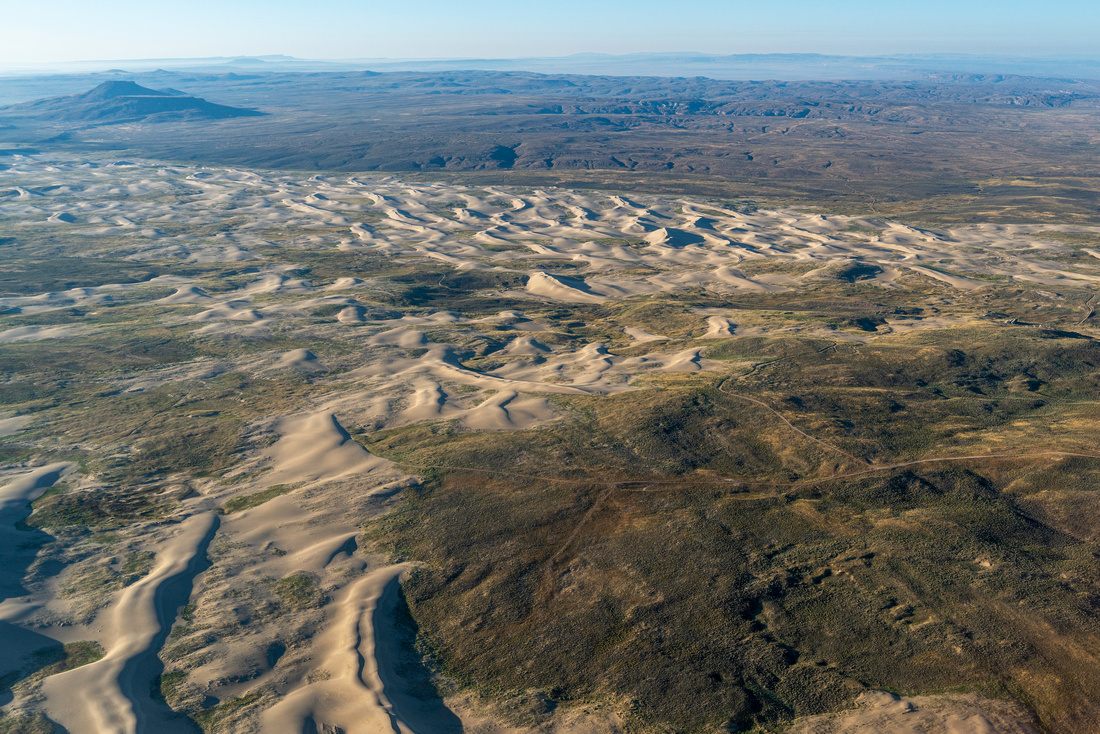
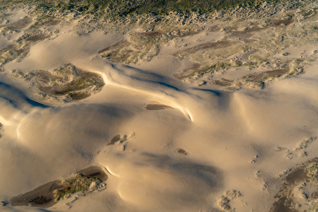
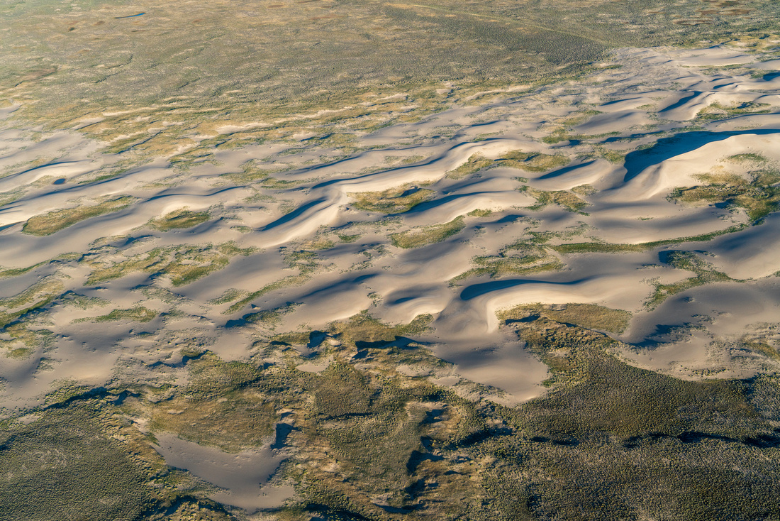
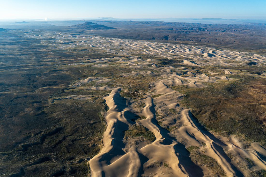
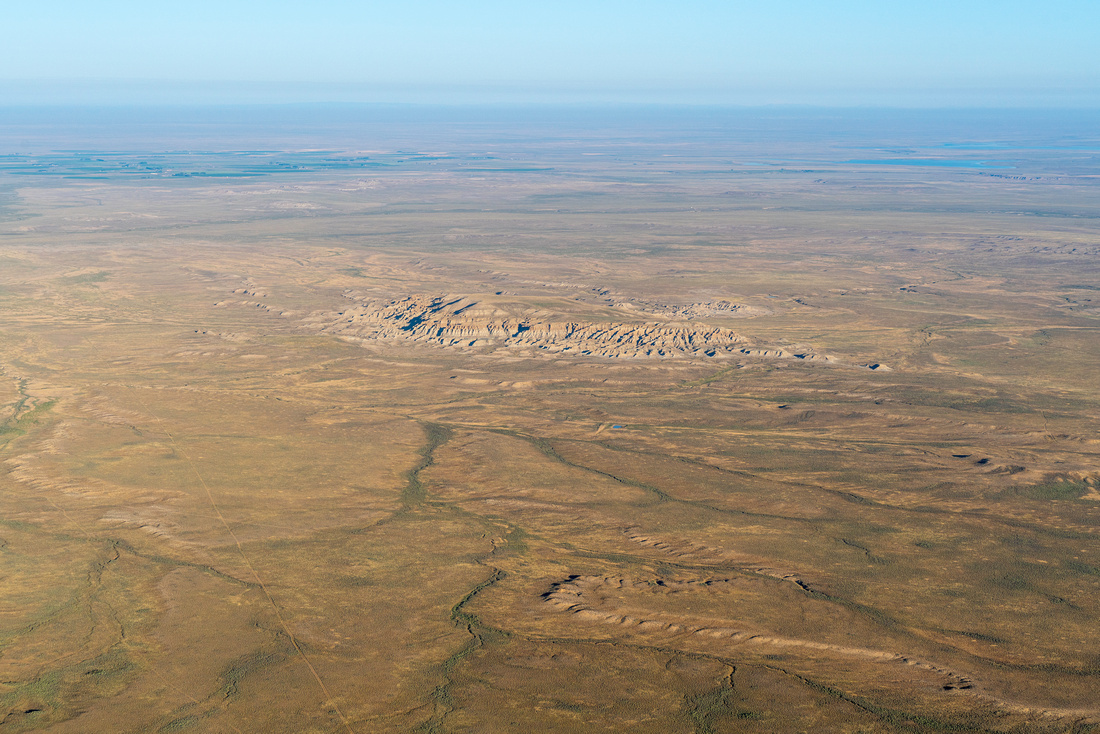
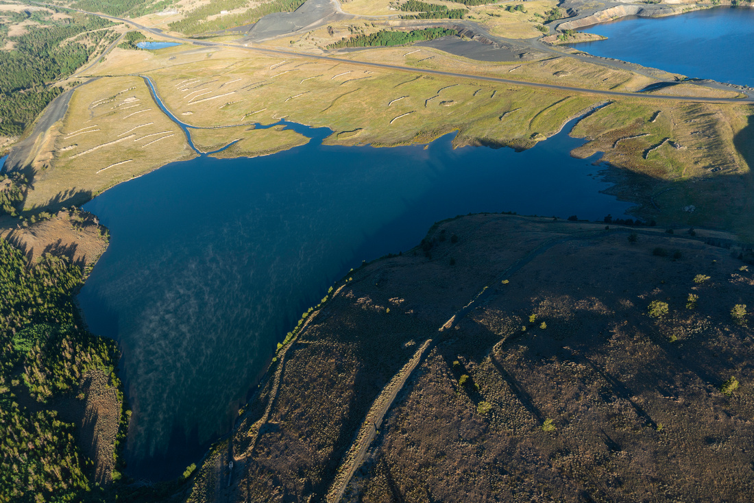
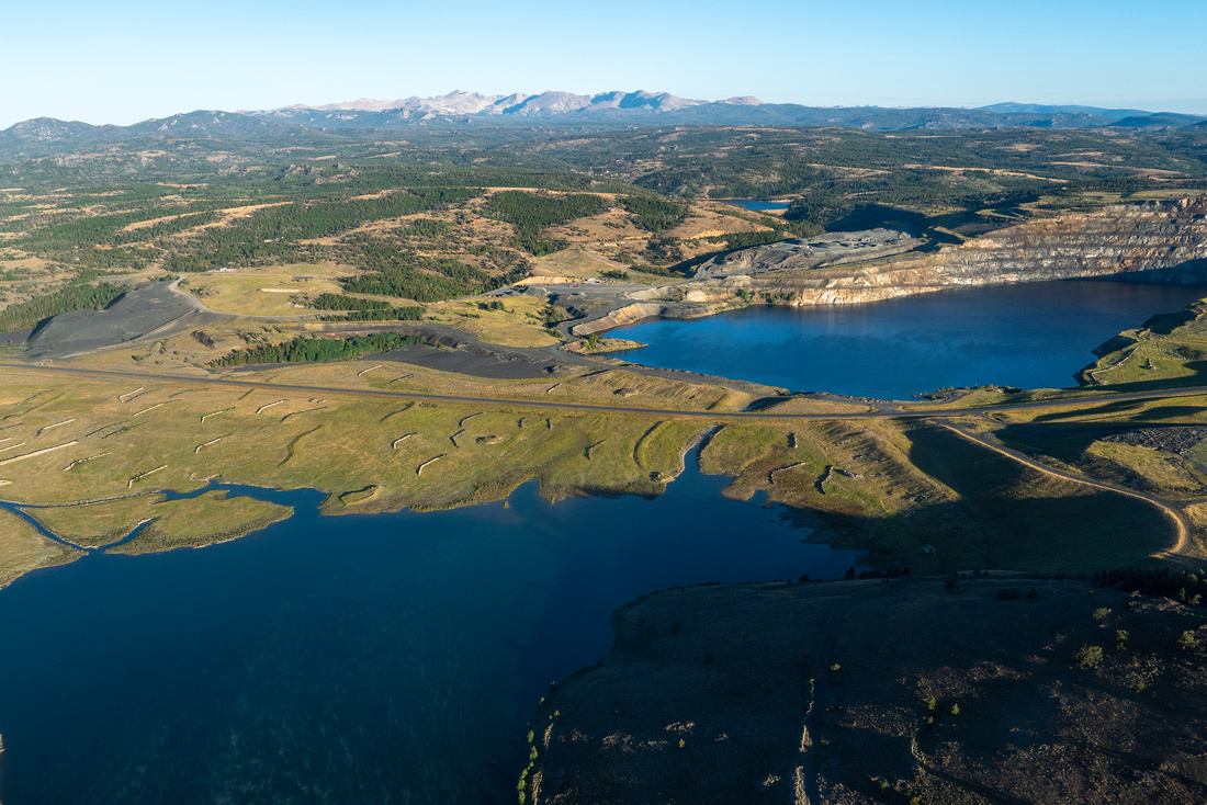
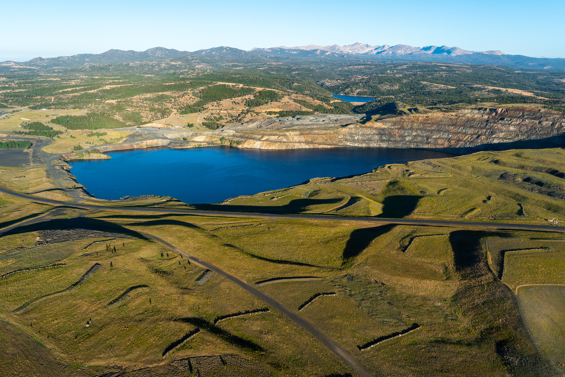
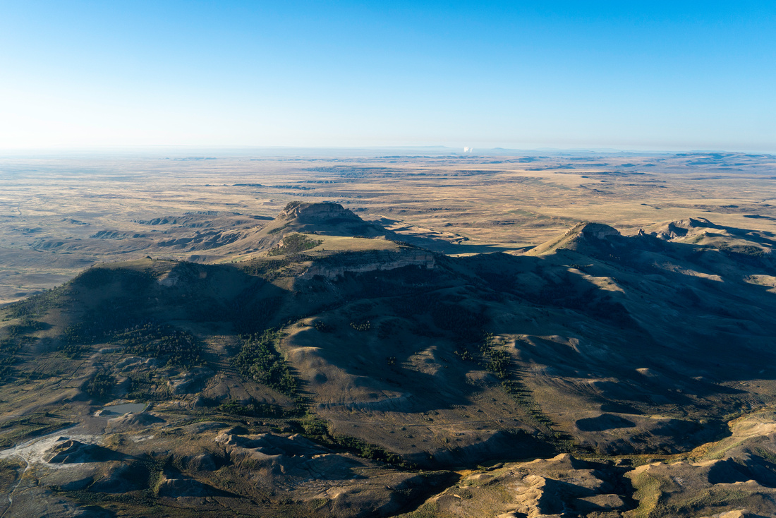
The Northern Red Desert contains nine wilderness study areas (WSAs) and thousands of acres of other wilderness quality lands. One of the most striking WSAs from the air is the Oregon Buttes, which tower above the desert floor. Springs along the flanks of these buttes provide refuge for birds and wildlife. Just north of the Oregon Buttes, the Continental Divide splits into two divides - one heads south down the Jack Morrow Hills and the other heads east towards the Ferris Mountains. This rare split in the Divide creates the Great Divide Basin, where precipitation becomes groundwater, evaporates, or is used, but does not enter a drainage that ends in the Pacific or Atlantic Oceans. We flew south of the Buttes and saw the Boar's Tusk, the remnant of an ancient plugged volcano, and a prominent landmark above the beginning swells of the longest active sand dune complex in the U.S. Dunes that start just outside of Farson, Wyoming and stretch across the state.
In August 2023, the Bureau of Land Management released their Draft Rock Springs Resource Management Plan, a much anticipated document guiding federal management of these sacred lands for years to come. EcoFlight and our partners at Wyoming Outdoor Council have been working for decades to inform this plan and ensure that the special qualities of the Red Desert are preserved. We are thrilled that this draft plan includes numerous opportunities for expanded conservation of this landscape, including several proposed Areas of Critical Environmental Concern (ACECs), and we will continue working to ensure that these areas are protected in perpetuity.
Click for geo-referenced photos from your flight. This .kmz file is best viewed in Google Earth