Restoring the Middle Fork Judith River
Date: 10/05/2023 State: MT Issues: Off Road Vehicles, Watersheds Partner: Trout Unlimited Airport Origin : Lewistown, MT
Mission
Fly with conservation groups and the Montana Department of Fish, Wildlife, and Parks, who are working on restoration initiatives on the Middle Fork Judith (MFJ) River. View ongoing restoration efforts to reduce duplicate roads in this sensitive riparian area and restore riverbanks that have been damaged by vehicles crossing the MFJ.
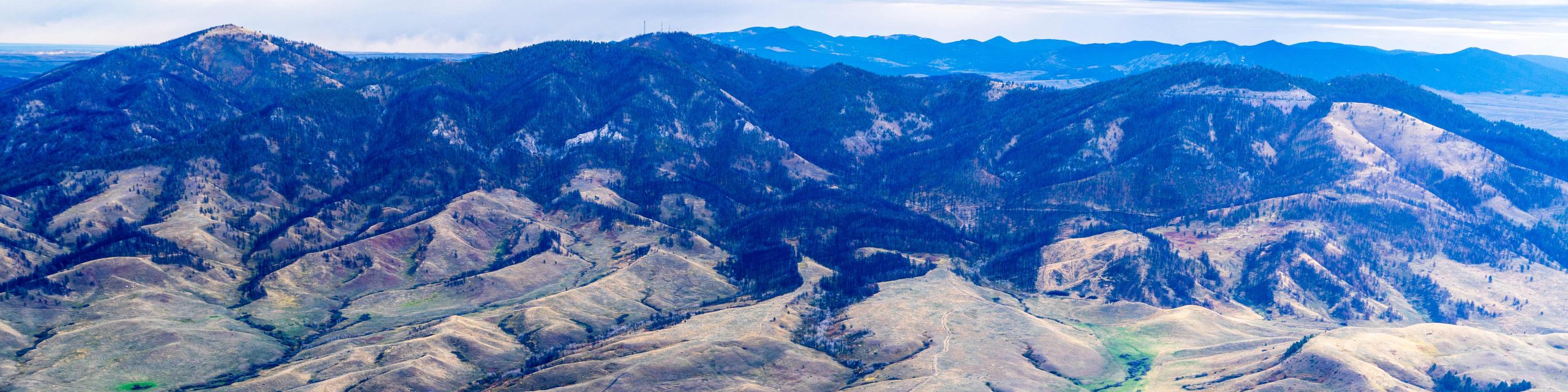
The MFJ River watershed is located primarily in the Helena-Lewis and Clark National Forest. The river winds through limestone canyons in the Little Belt Mountains. The 82,127-acre MFJ Wilderness Study Area supports an important fishery that was once brimming with life. But for decades, landowners with inholdings inside the National Forest have utilized roads in the Middle Fork Canyon to access their property; others follow these backcountry roads for enjoyment or access to recreation opportunities.
The legacy of off-road vehicle use has resulted in over-widened river channels, with unstable banks, high sediment pollution, and reduced riparian vegetation. The roads crossed riparian vegetation and the MFJ at 27 fords with over 90 discrete entrances to these fords.
Thankfully, the Forest Service and our partners at Montana Trout Unlimited are working to reduce erosion and sediment pollution. A phased project approach has been developed to remove the majority of road segments that cross the stream. New roads have been built outside of riparian areas, and portions of the old road have been decommissioned. Degraded stream banks and stream channels are being restored and strengthened. These efforts aim to restore the fishery and bring wild Westslope cutthroat and rainbow trout back to healthy populations in the MFJ, while maintaining historic, legal road access to areas within the National Forest.
Click for geo-referenced photos from the flight. This .kmz file is best viewed in Google Earth