Santa Ana Watershed
Date: 03/10/2025
State: CA
Issue: Watersheds
Airport Origin : Corona, CA
Mission
Bring water managers in the region together to understand the connected water system, and work together on new sustainable reservoir projects.
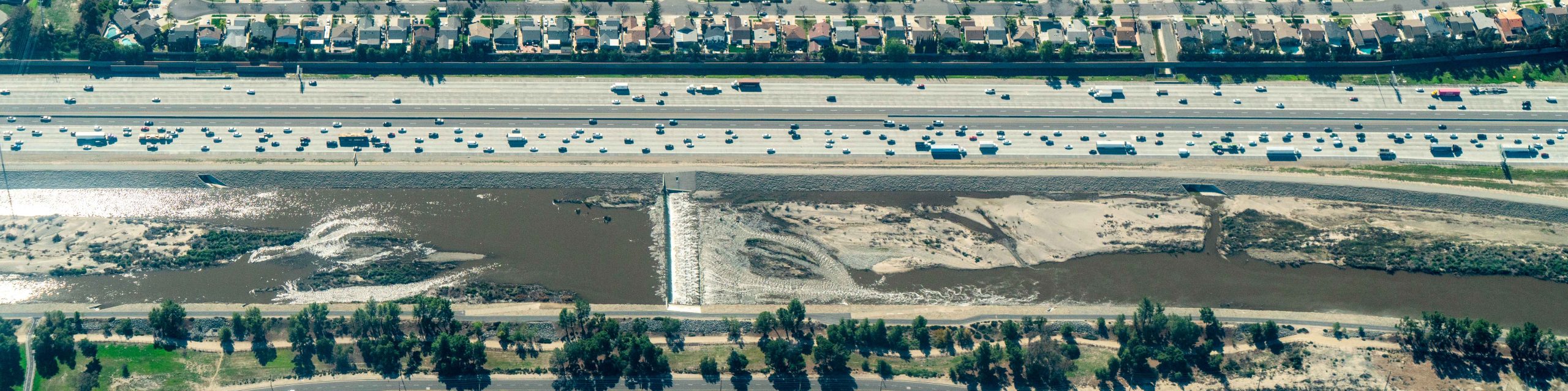
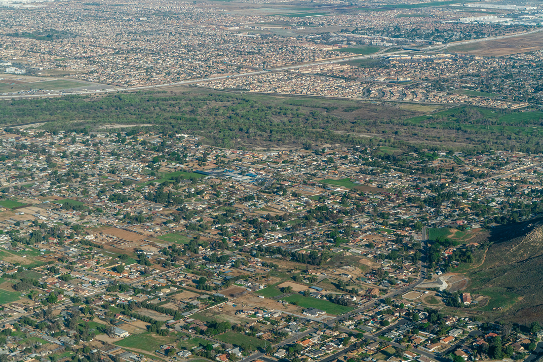
Thanks to Orange County Water District and neighboring districts and orgs for joining us to better understand the watershed’s complexity and how the urban basin interacts with the river. From above, we saw where Santa Ana River water is captured, recycled, wasted, and more. This complex watershed is made up of miles of impervious concrete as well as sprawling wetlands that serve as critical water storage.
With increased development and other changes on the horizon for the region, we gained an aerial view of how water moves through natural and engineered systems, reinforcing the importance of conservation efforts in these urban settings. We flew above Seven Oaks Dam, Prado Dam, and saw Talbert Marsh and the river’s confluence with the ocean.
We flew to help stakeholders to make informed policy and funding decisions to guide investments in water infrastructure, habitat restoration, and conservation initiatives. Water management is a collaborative effort, and we thank our partners for taking the time to tackle this together from the cockpit.
Click for photos from the flights, videos from the flights, and geo-referenced photos.