Save Ash Meadows
Date: 05/16/2024 State: NV Issues: Mining, Watersheds, Wild Lands, Wildlife Partner: The Nature Conservancy Airport Origin : Henderson, NV
Mission
Provide aerial education to Jennifer Morris, The Nature Conservancy CEO and other TNC staff to inform their efforts and strengthen their advocacy to protect Ash Meadows from mining.
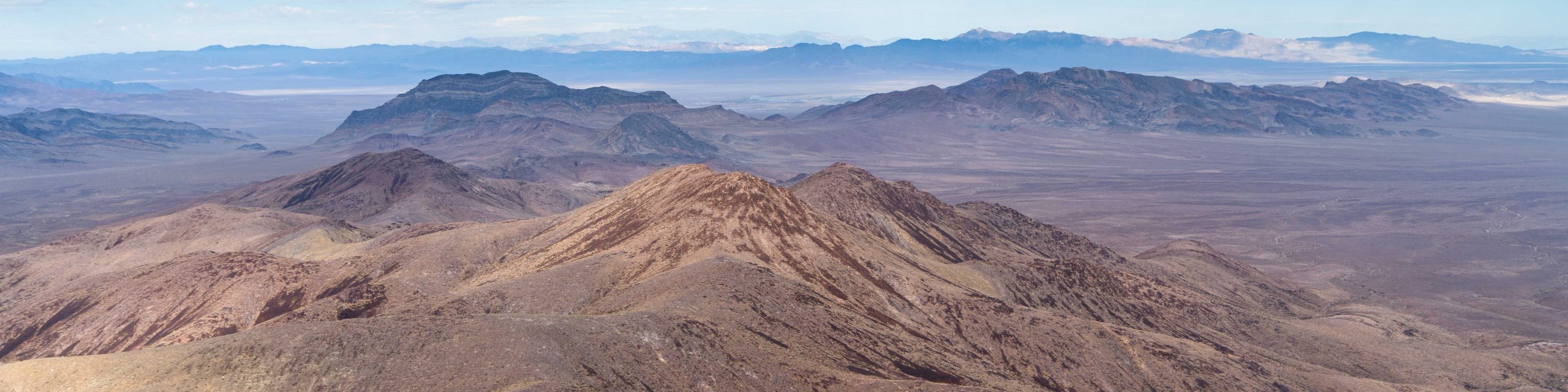
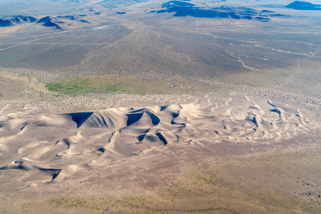
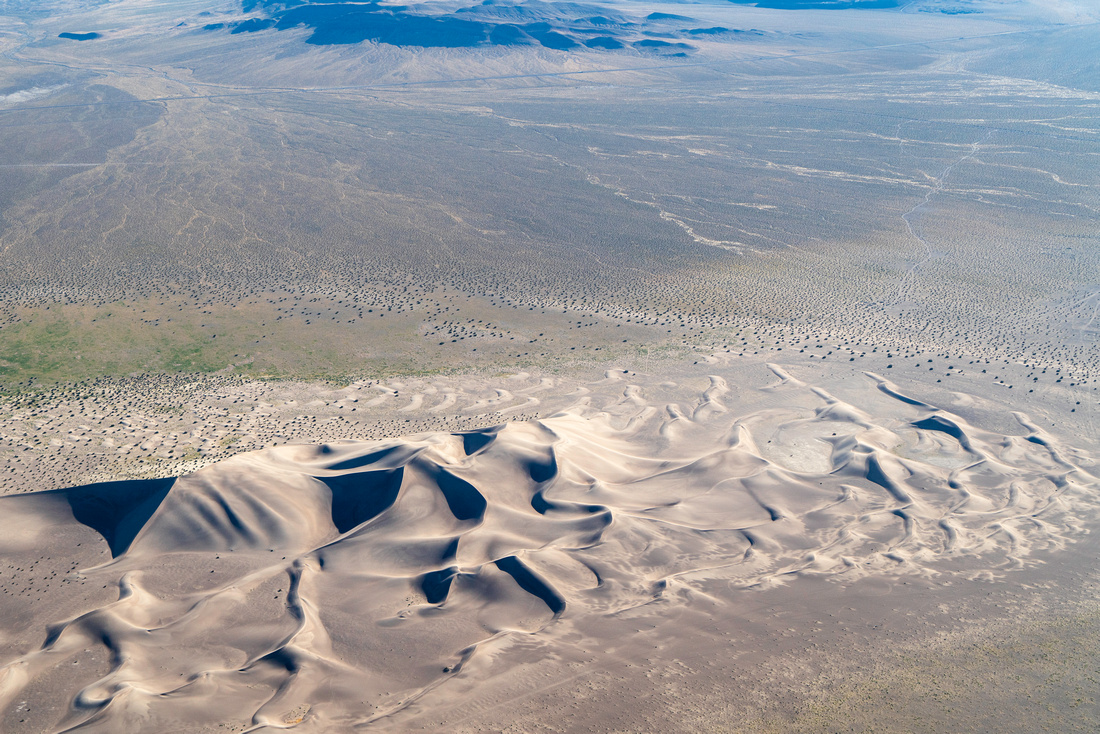
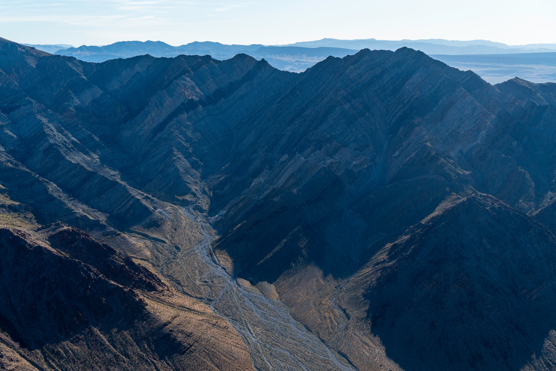
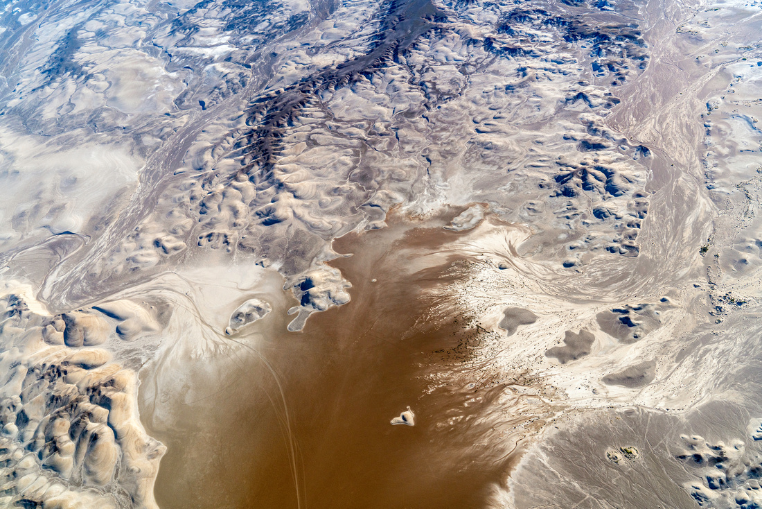
We flew over the Amargosa Basin, a vast stretch of desert that creates vital habitat connectivity between Death Valley National Park and Mojave National Preserve. The life-sustaining Amargosa River, from its headwaters north of Beatty, NV, flows largely underground and drains into Badwater Basin, the lowest point in the US. We flew over a section of the river that is designated as Wild and Scenic, a rarity for an intermittent desert waterway.
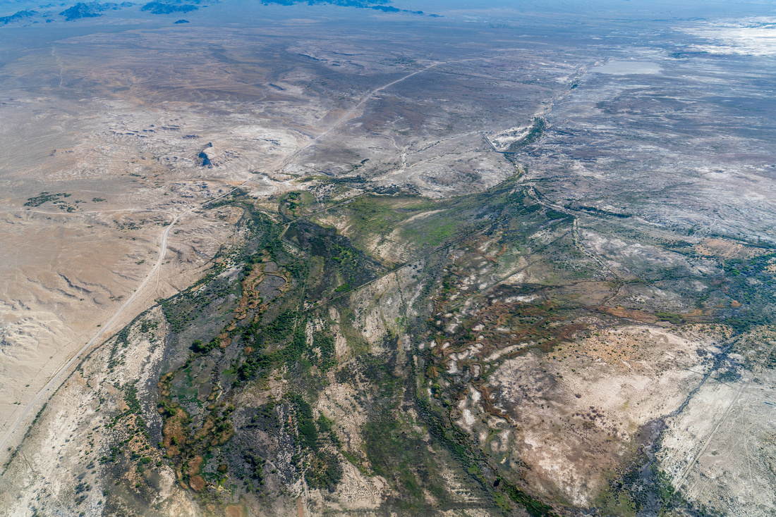
The basin is rich in cultural and natural resources. The area contains historic footpaths of the Timbisha-Shoshone and Southern Paiute people, wagon routes of the Mormon Trail, old railroad beds, and mining roads, and off-road recreation routes. In the extremely hot and dry habitat, the river supports a variety of plants and animals and over 26 endemic species. Many of these species live in the Ash Meadows National Wildlife Refuge, one of the first
RAMSAR Wetlands of International Importance designated in the US.
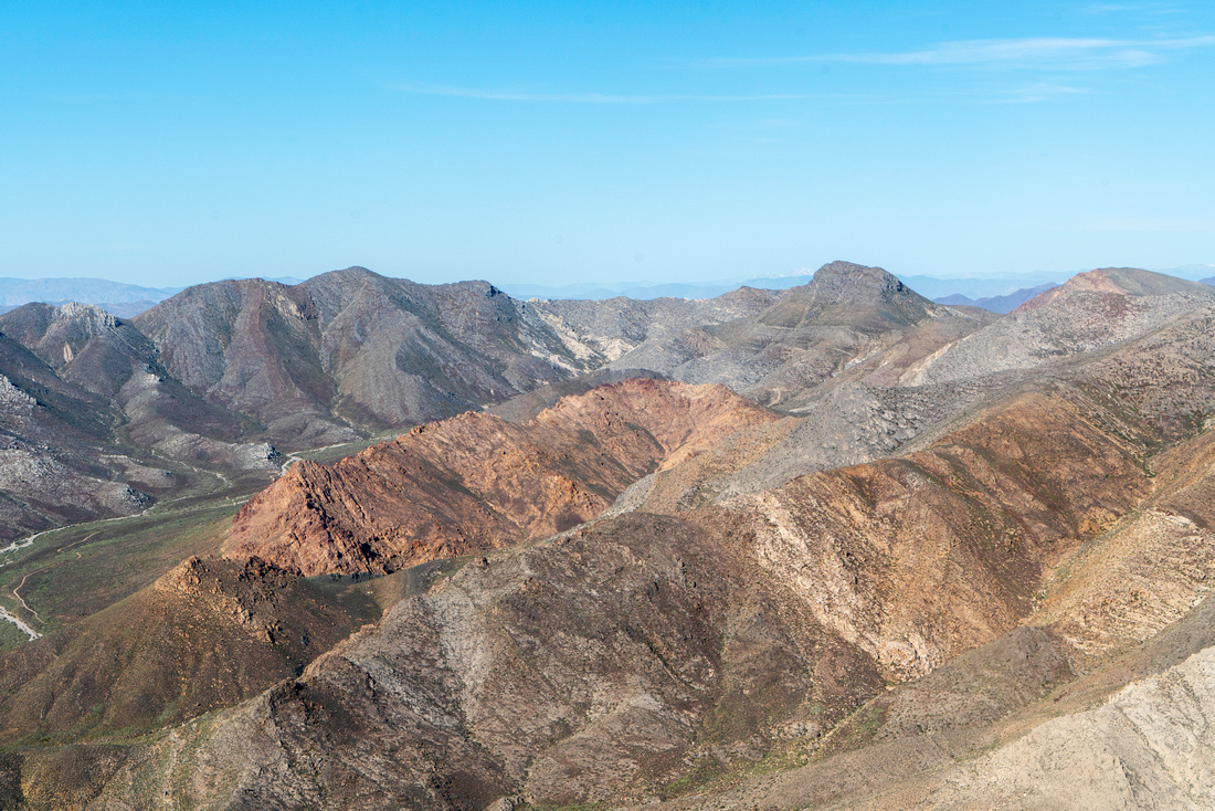
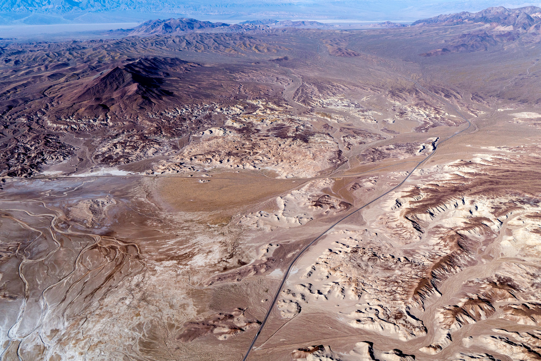
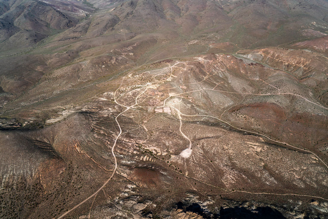
EcoFlight is dedicated to preserving the rare and delicate ecosystems of the Amargosa Basin. We have been providing flights in the area for years, working with grassroots local groups to enact best management practices for this unique watershed. The aerial perspective has served to educate diverse stakeholders, conservationists, and land-managers at the NPS, Death Valley NPS, NDOW, and USFWS, as well as members of the media and social media influencers who in turn educate the general public. The big-picture from the plane illuminates the gorgeous Amargosa Basin and the threats it faces from OHV use, mining threats, as well as the ongoing conservation efforts.
Our flight explored the beautiful Ash Meadows Wildlife Refuge, and other gems like the Atwood Preserve, which have been protected under the leadership of the Nature Conservancy! These preserves protect critical species and biodiversity and represent huge wins for the local ecosystems and communities. However, nearby energy and mineral development still threaten these ecosystems, sacred Tribal lands, and vital groundwater. From the air, we examined proposed lithium developments, threats of open-pit mining, and solar energy expansions that must be carefully managed to balance ecological integrity with renewable energy needs. EcoFlight is committed to providing the aerial perspective on these large-scale challenges, and using our aerial platform to advocate for the diverse and unique Amargosa River Basin.
Click for photos from the flight. Or for geo-referenced photos from the flight. Click for aerial footage from the flight. Related News