Verde River Wild & Scenic Efforts
Date: 10/17/2023
State: AZ
Issue: Watersheds
Partners: American Rivers, Arizona Wildlife Federation, Sierra Club, Upper Verde Wild & Scenic River, Yavapai Prescott Indian Tribe, Yavapai-Apache Nation
Airport Origin : Prescott, AZ
Mission
Fly Arizona state officials, town officials, Tribal officials, and conservationists over the Verde River to advocate for Wild & Scenic designation.
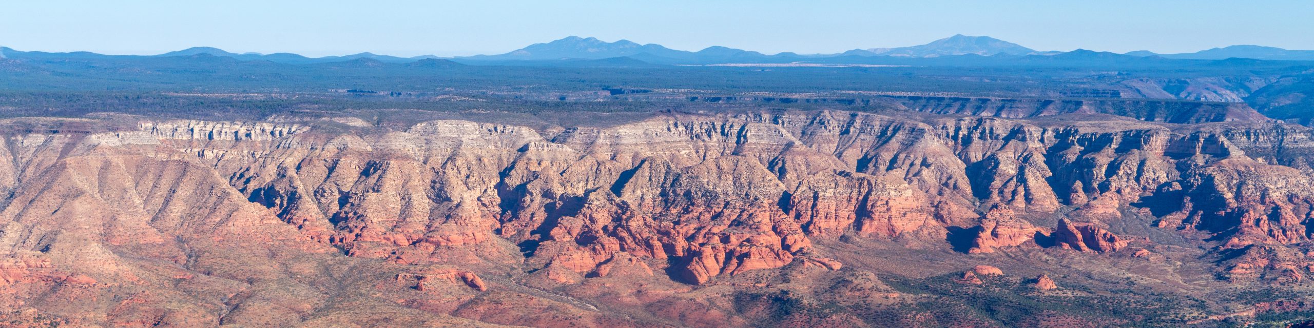
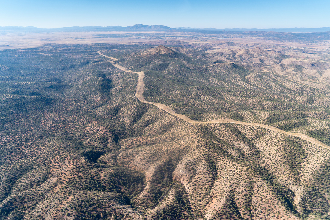
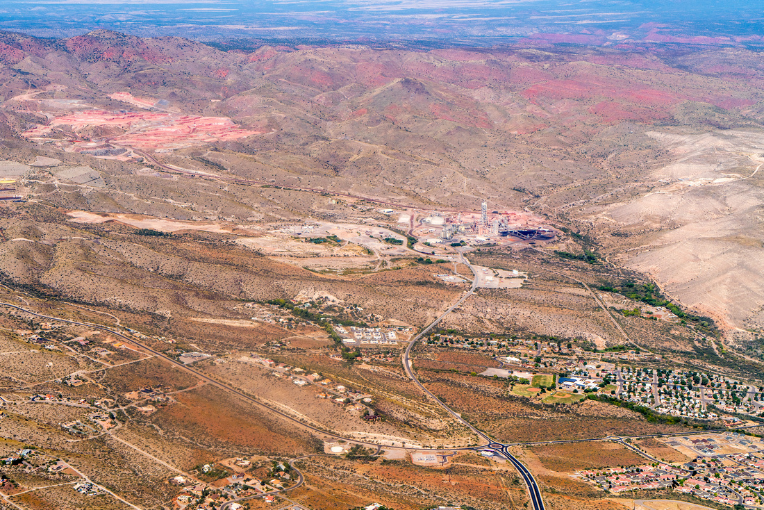
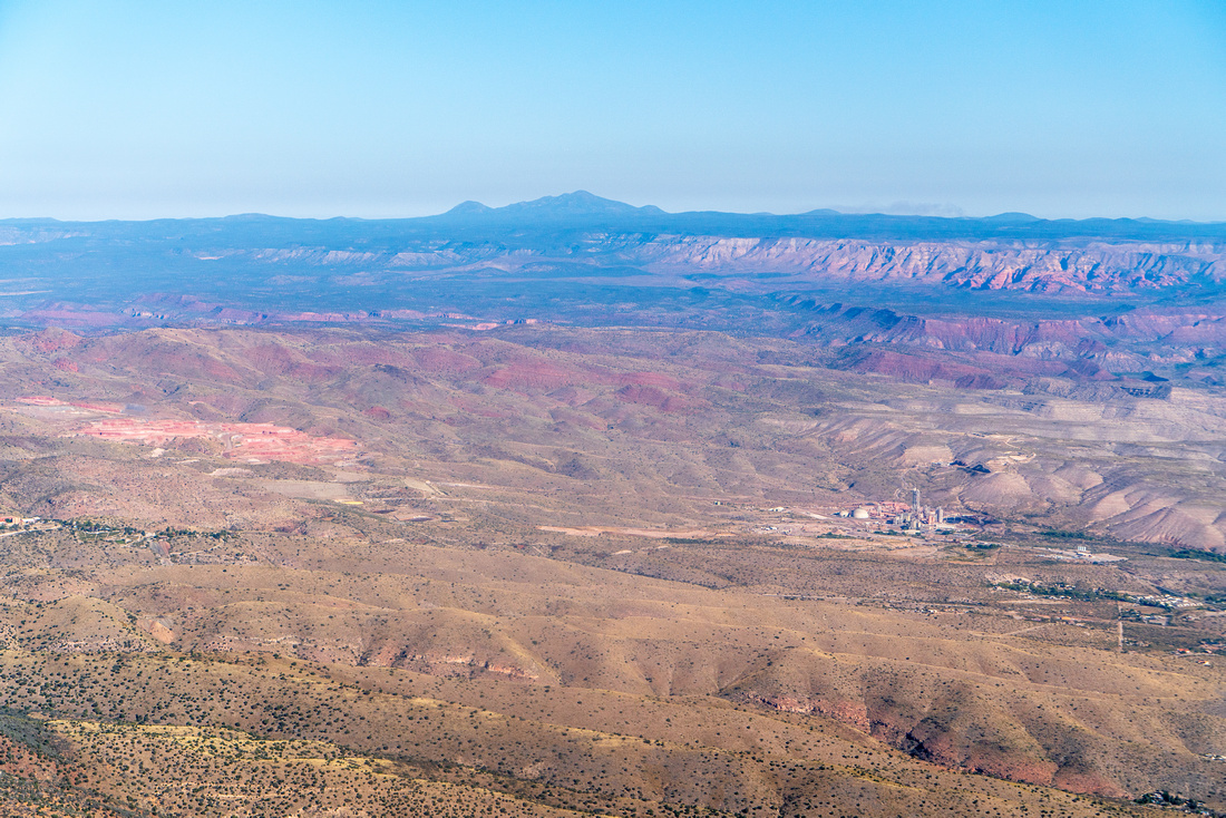
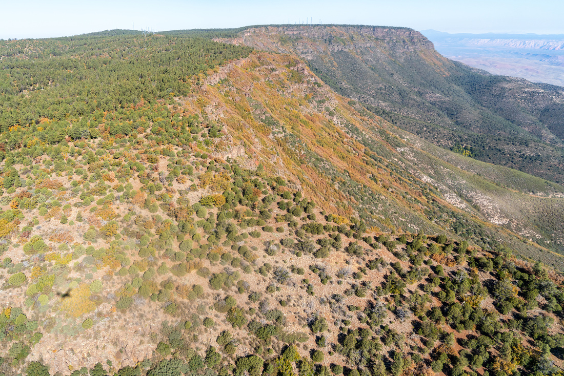
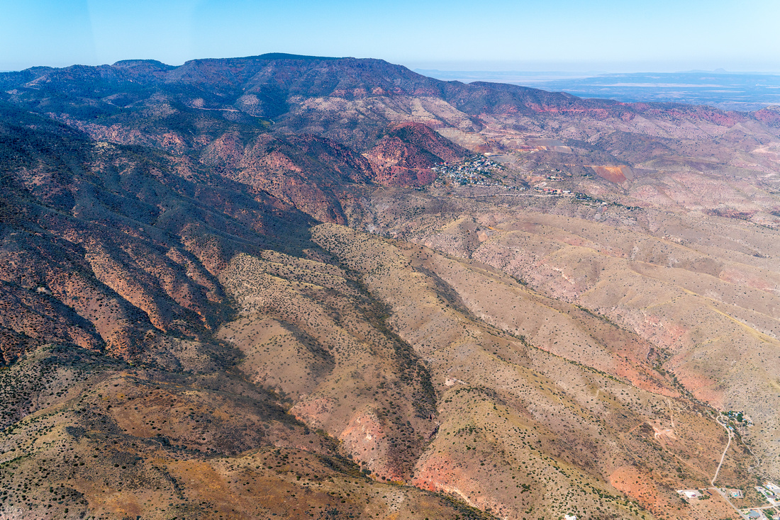
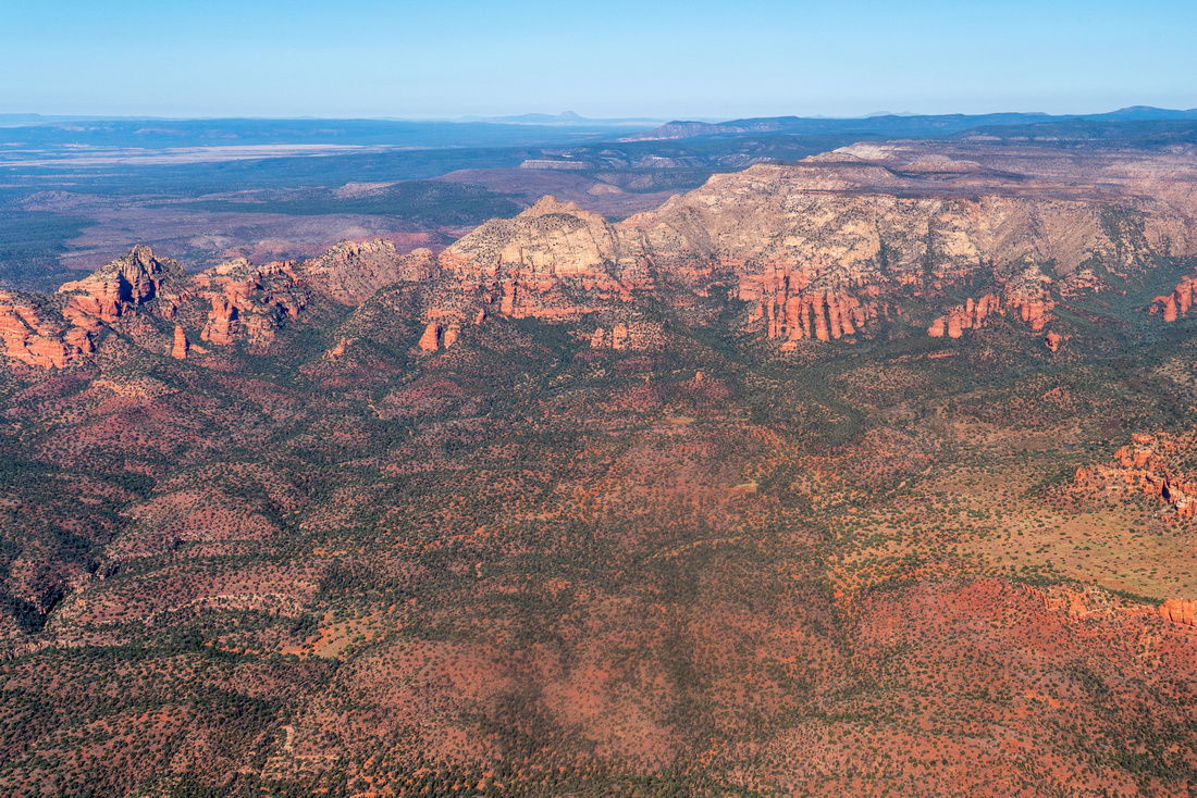
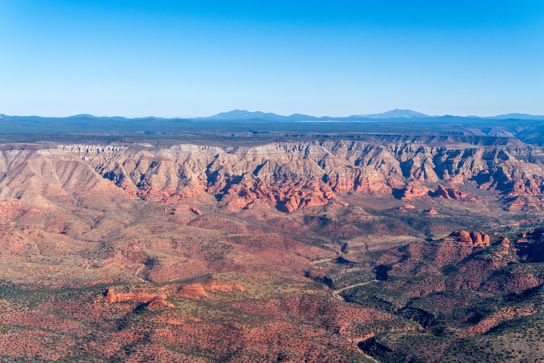
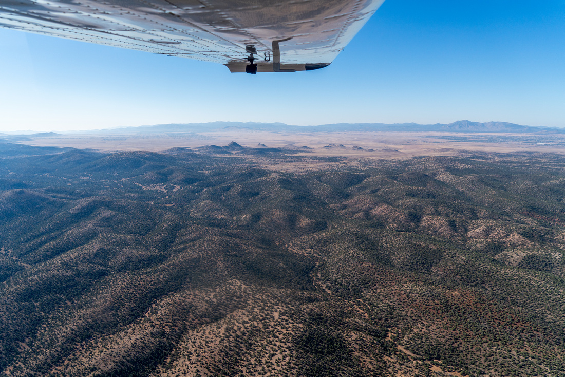
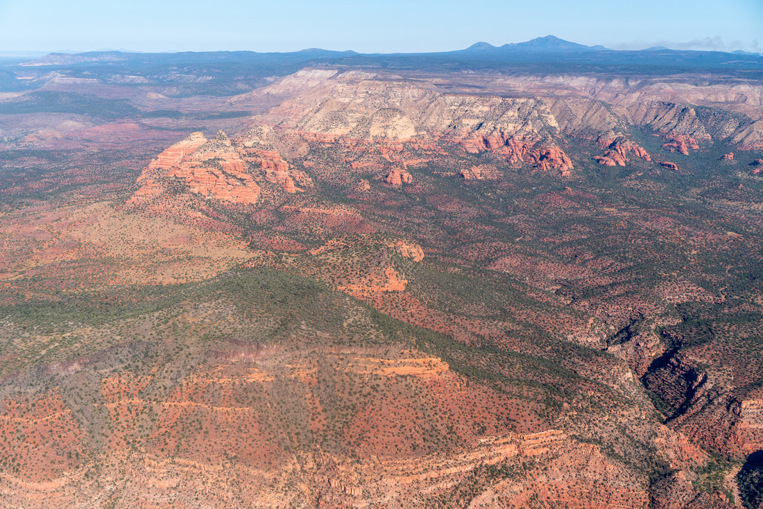
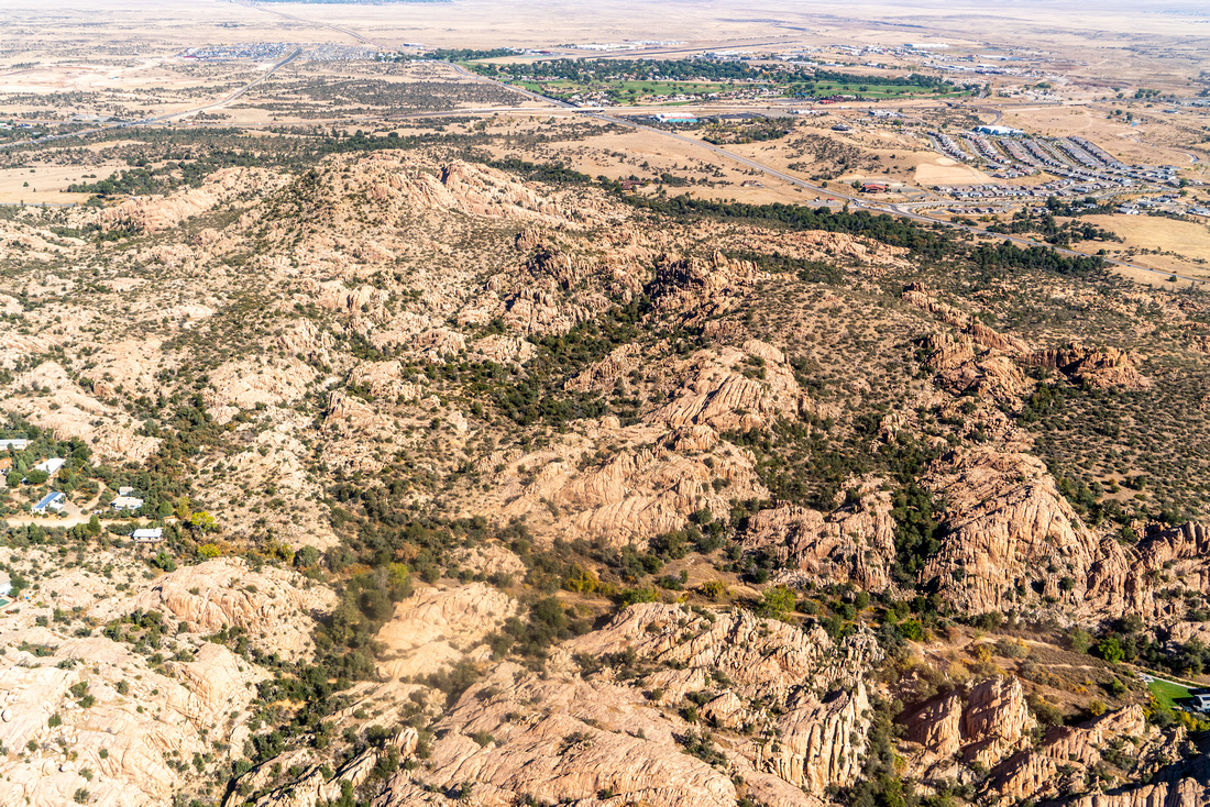
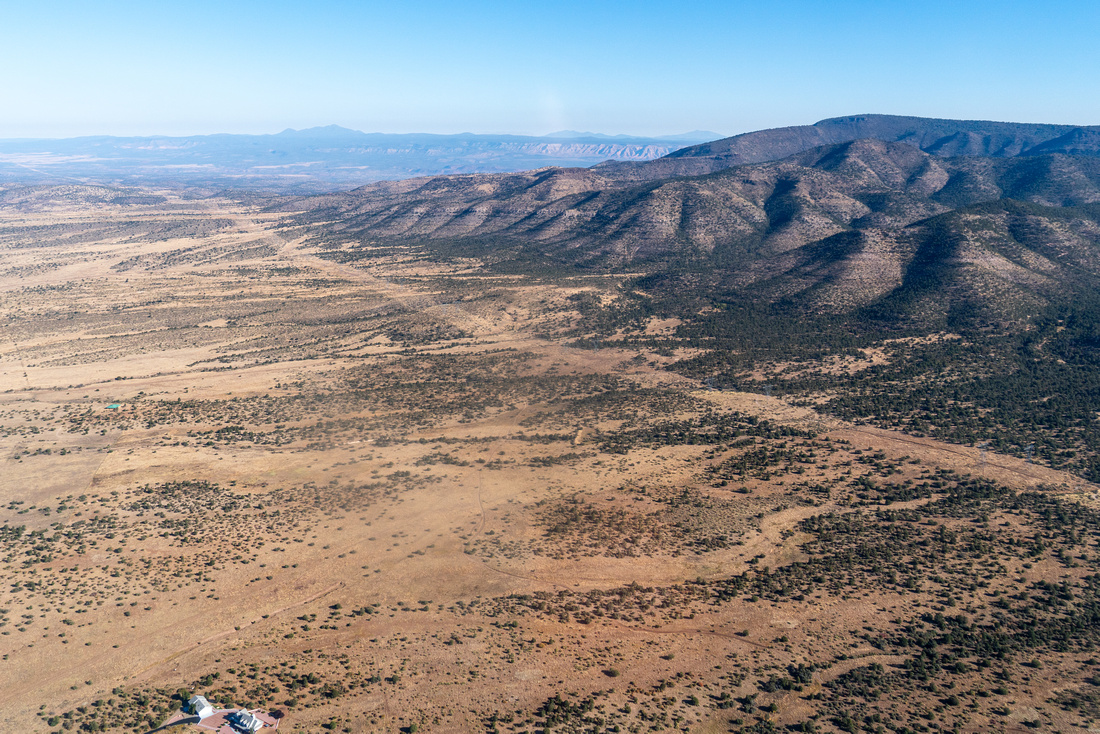
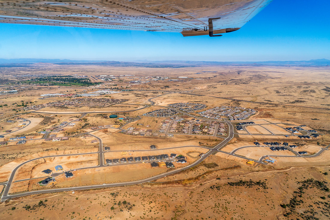
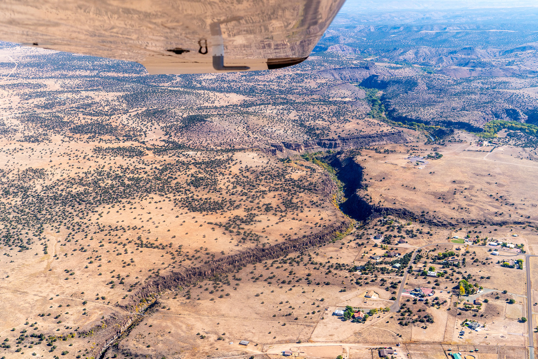
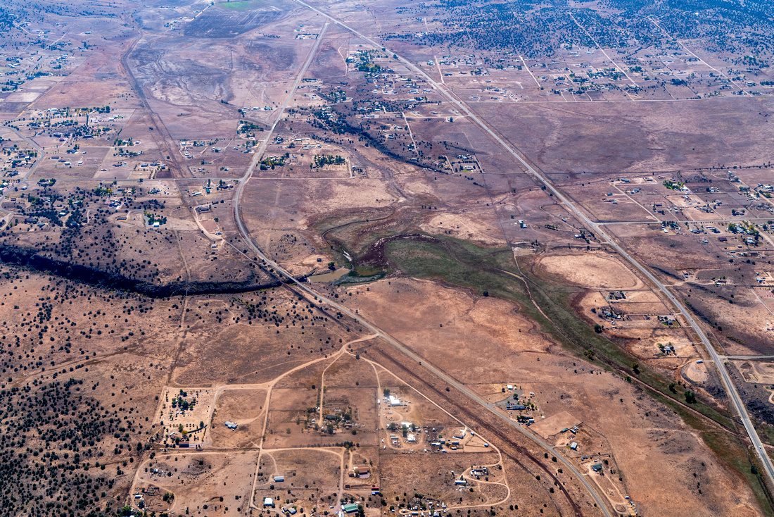
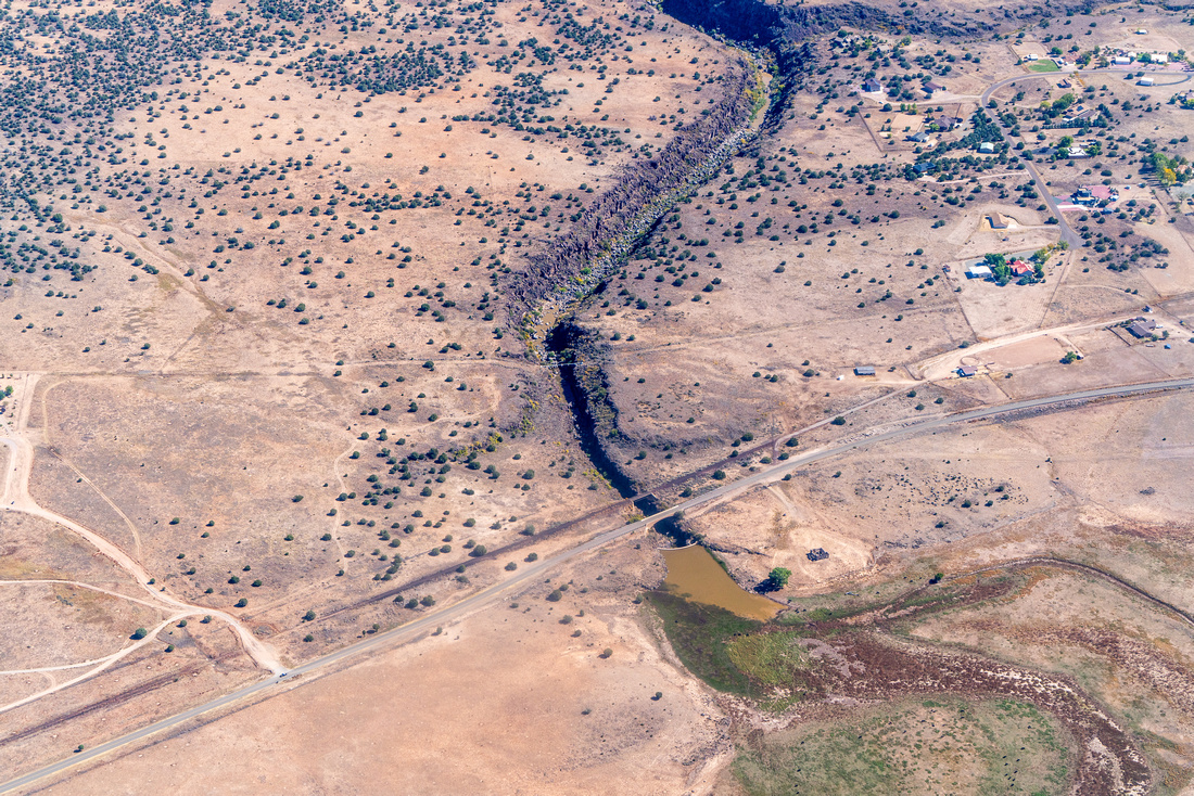
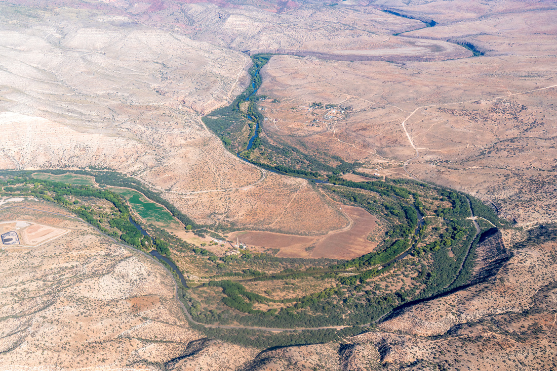
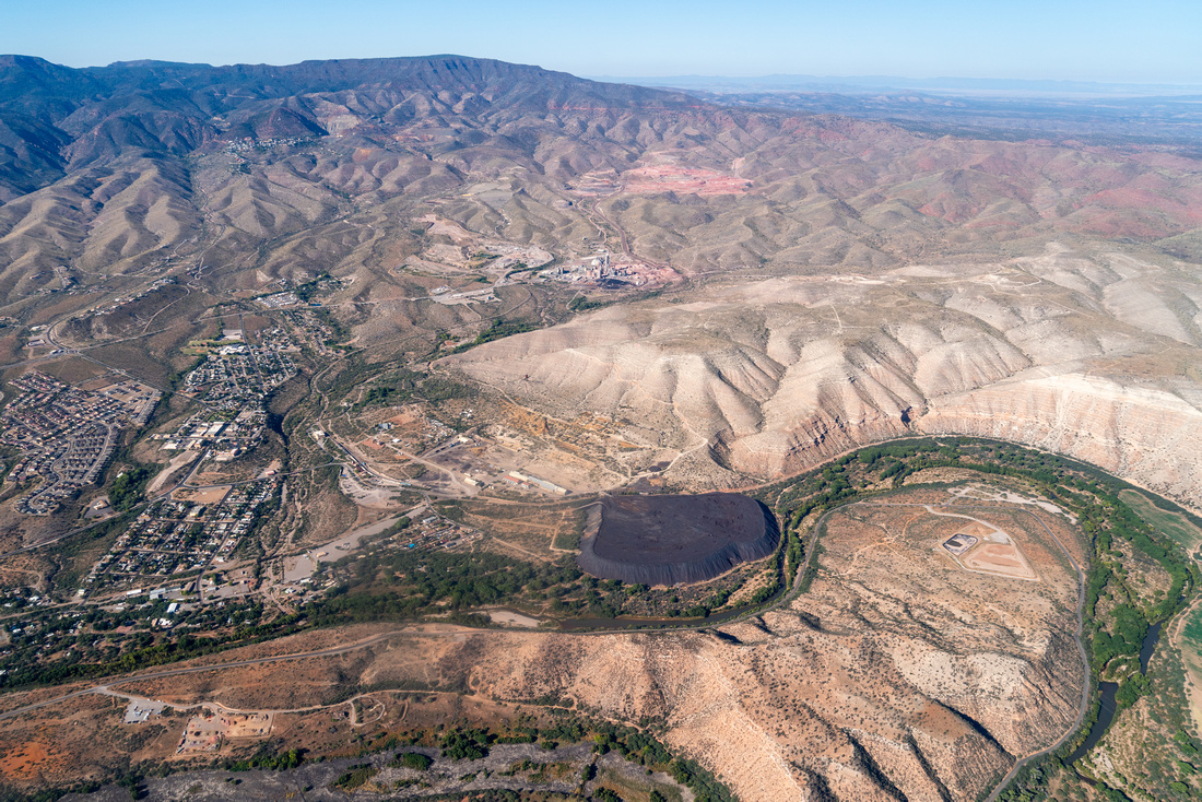
Taking off from Tucson, we soared above Prescott National Forest and saw Mingus Mountain and the Woodchute Wilderness. Then we followed the Verde River upstream. The Verde River begins near the rural community of Paulden and flows approximately 195 miles before reaching its confluence with the Salt River near Phoenix.
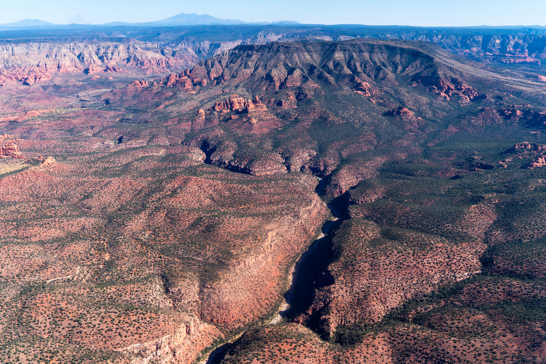
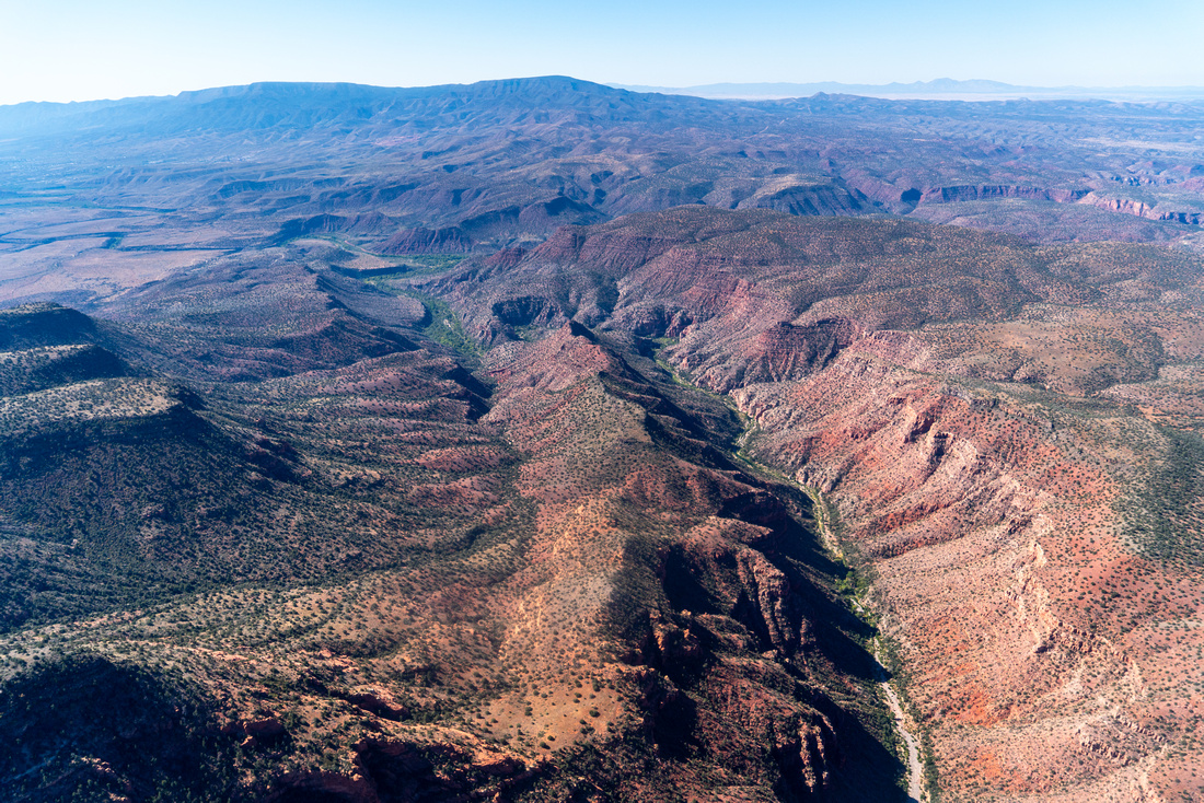
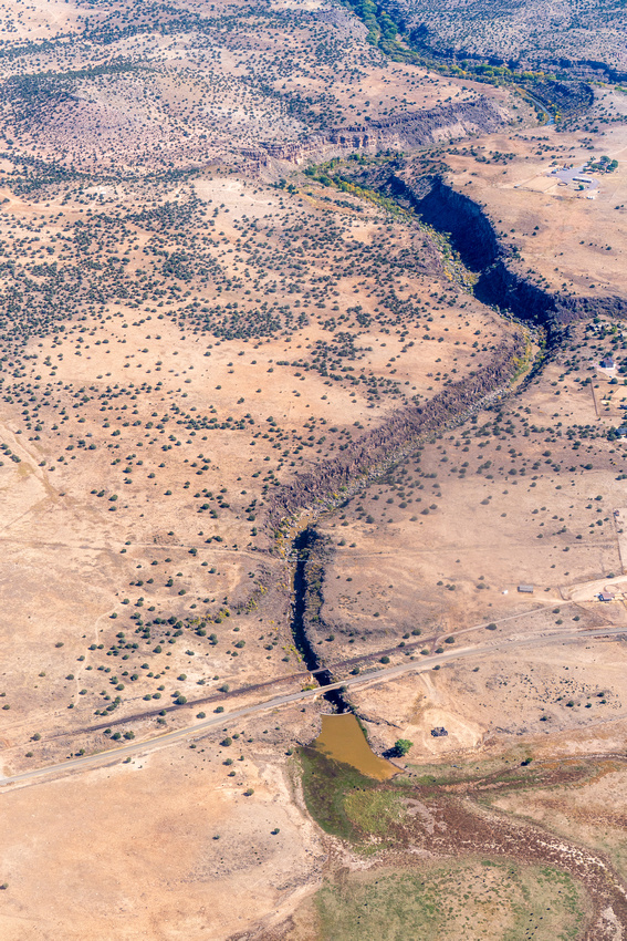
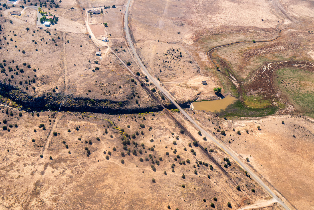
Our flight examined the Upper Verde River, one of Arizona's last untamed, natural wonders. Of the state's six major perennial rivers, the Verde River is unique in that is has not been consumed by dams and groundwater pumping. The Upper Verde is free-flowing and provides abundant wildlife and fish habitat, remarkable opportunities, and clean water for downstream users, from urban communities to Native Nations to farmers and other irrigators. The Upper Verde River flows through Tribal lands and supports diverse cultural uses, but the river remains unprotected.
Our flight partners are working to protect the Verde River and its diverse values through a Wild & Scenic designation. This designation would protect the river as it is - preserving its free-flowing state, recreational opportunities, and critical wildlife habitat. A Wild & Scenic designation would prevent dams and harmful water development projects, and ensure water quality is maintained. Facing threats from drought, diminished flow, pollution, unmanaged recreation, and invasive species, protecting the Upper Verde River is essential to support wildlife, the economy, and the well-being of future generations!
Sign a petition in support of protecting the Upper Verde as Wild & Scenic.
Click for photos from the 10/16 flight and 10/17 flight.
Click for geo-referenced photos from 10/16
and 10/17. These kml files are best viewed in Google Earth